
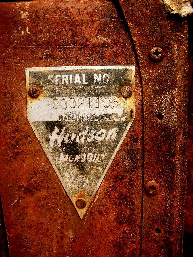
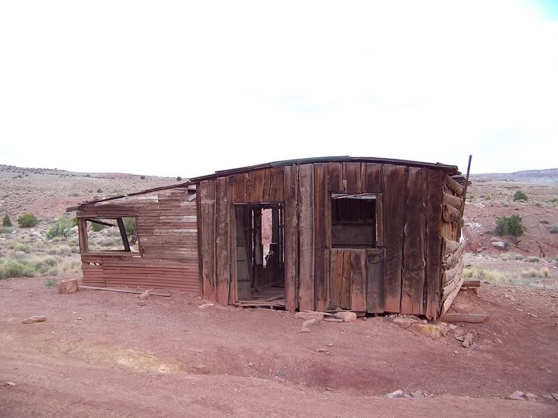
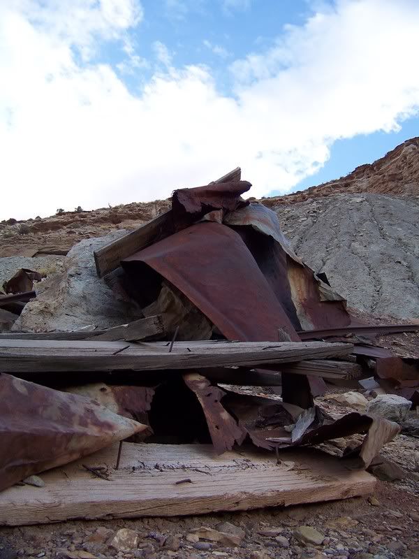
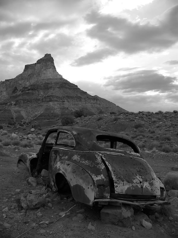
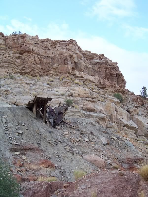
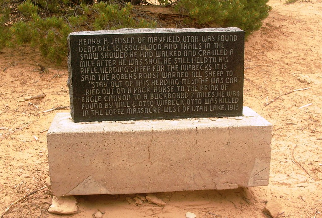
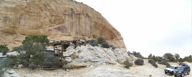
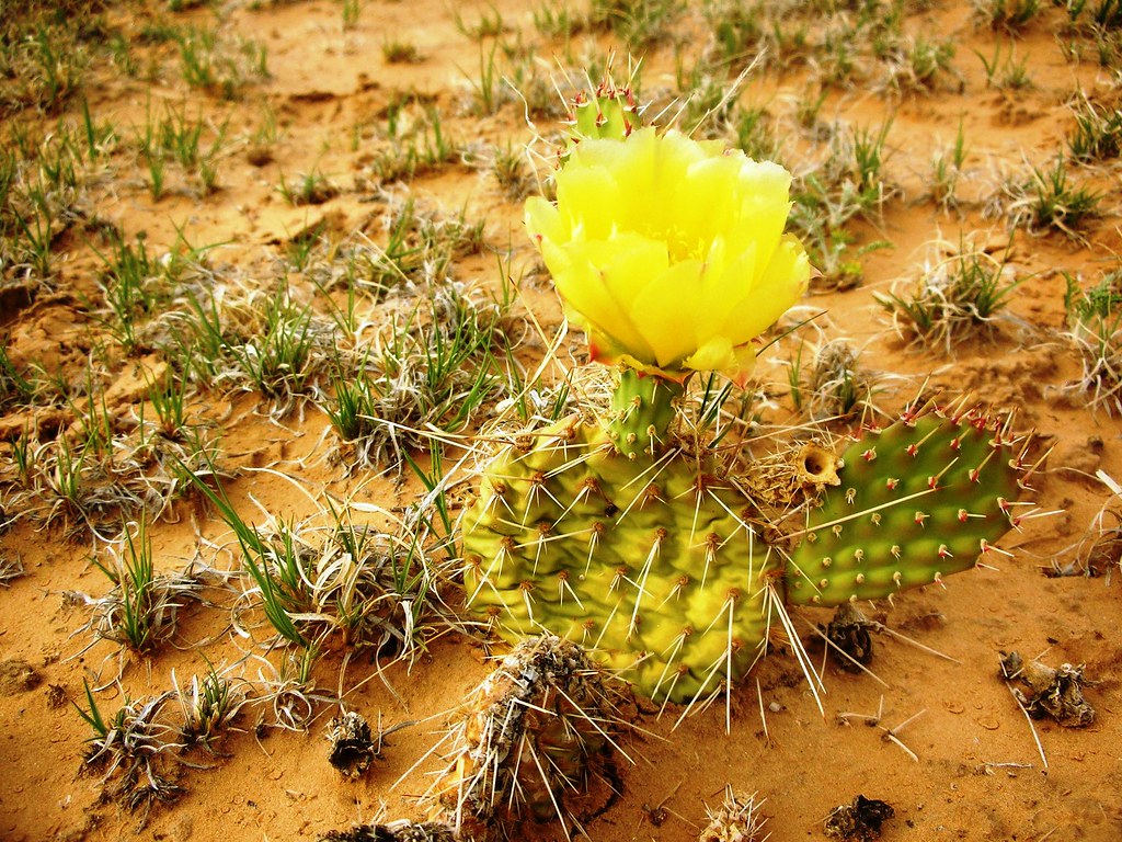
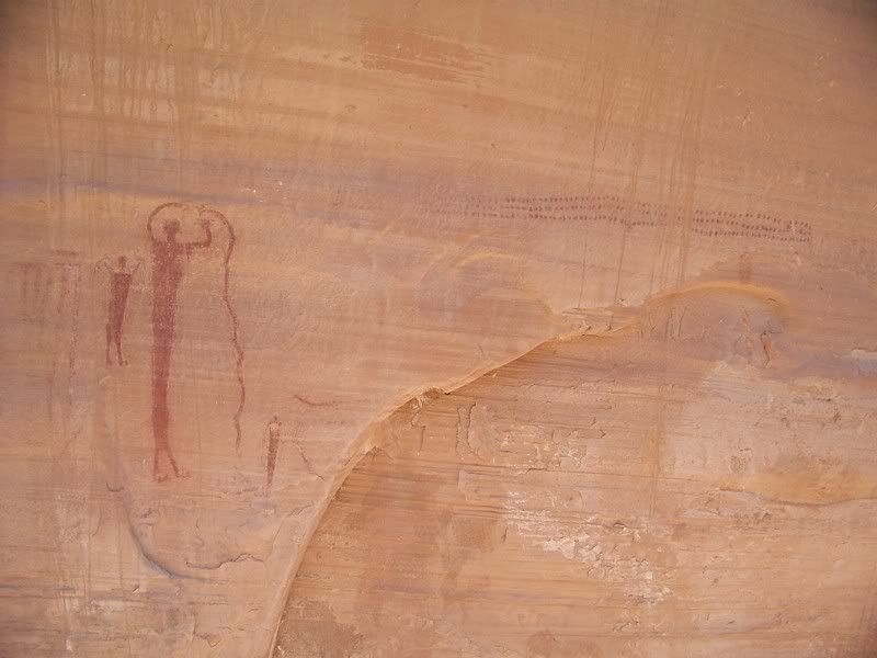
Our journey started before we left as Mariko and I have recently been studying and reading the stories and tales of Butch Cassidy and the Wild Bunch. This reading urged us to get out and explore the areas we had read about to get a feel for it all. We wanted to cover as much ground as possible; settling with a solid trip to the swell which covered lots of outlaw history, plus other sights and history that the area has to offer.
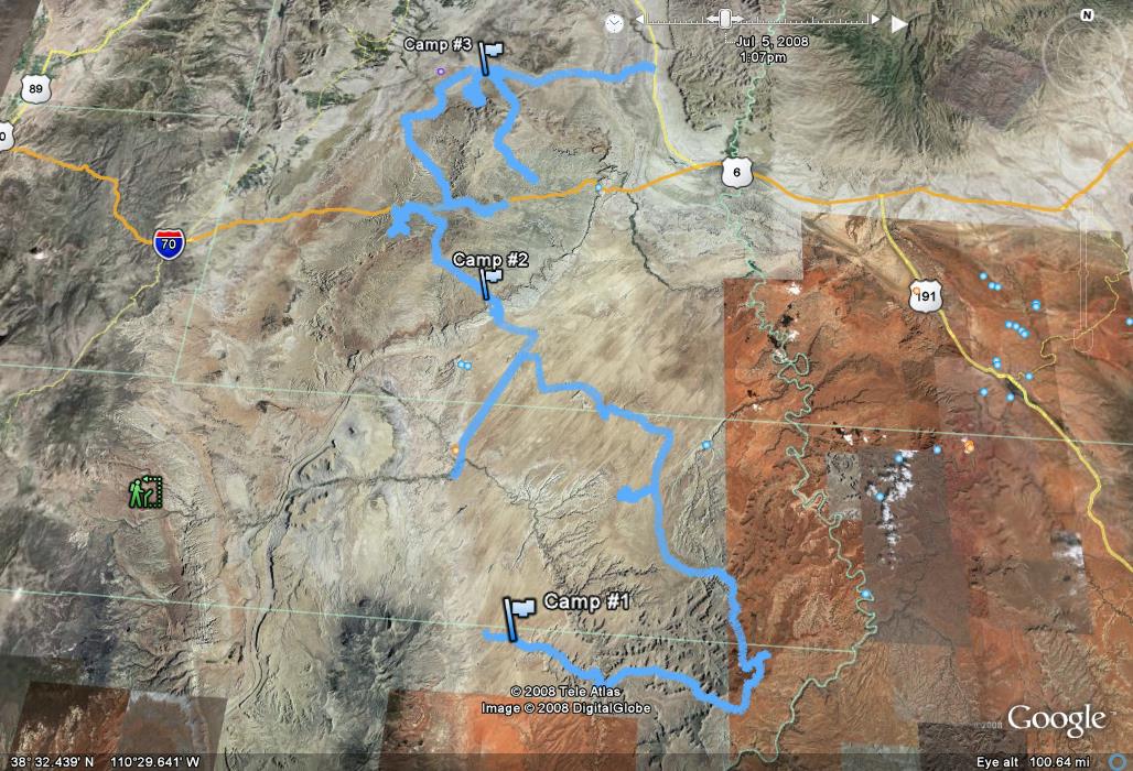
Route:
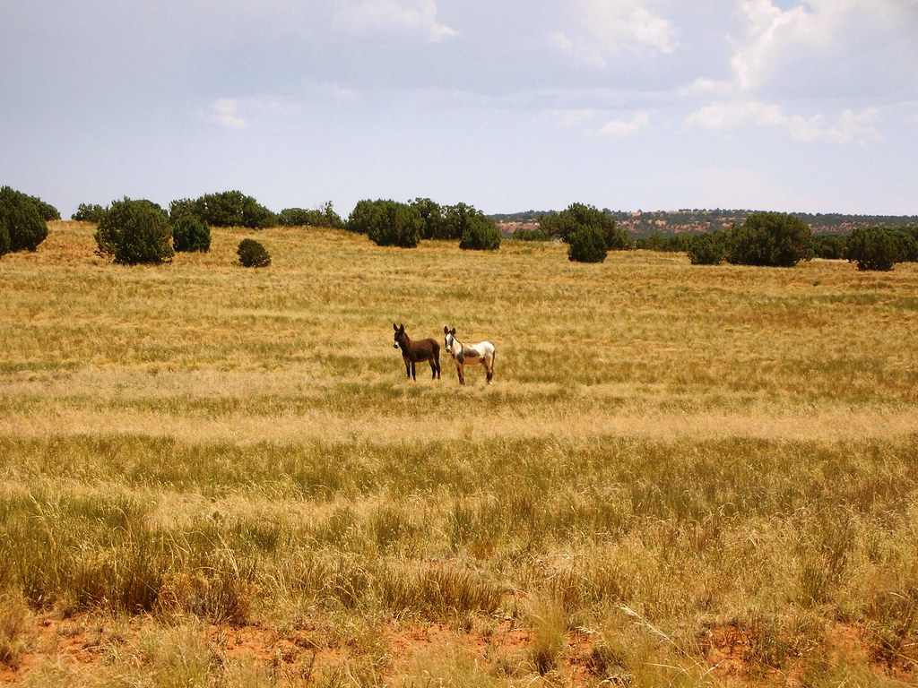
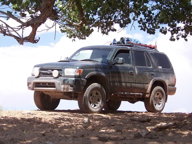
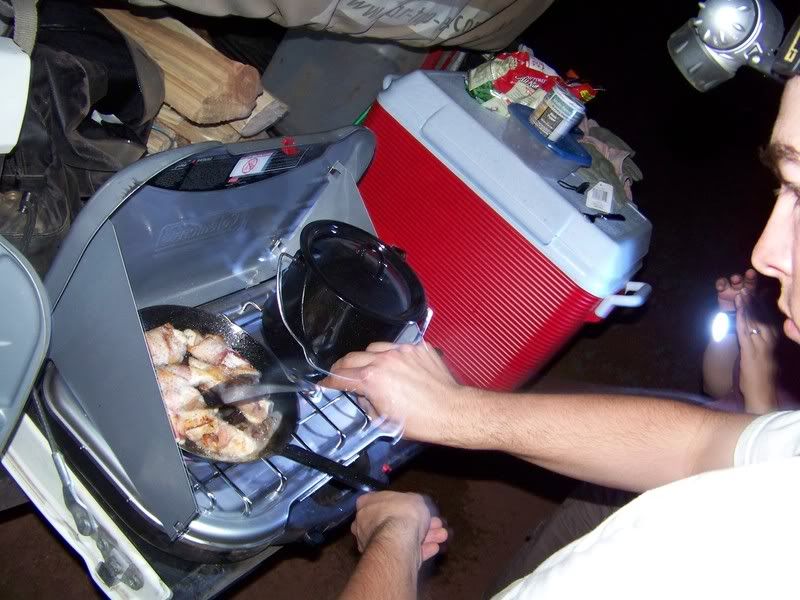
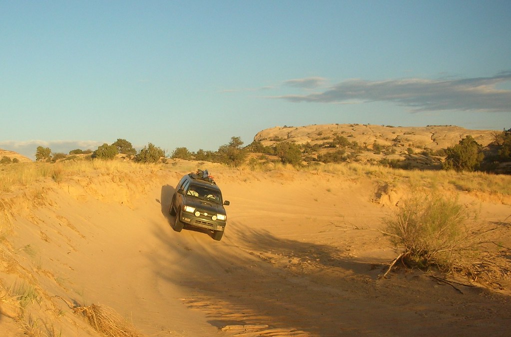
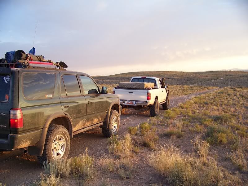
Mariko and I cruised down to Salt Lake to meet up with Jason (SAMI) and his brother Thomas, loaded up on fuel in Draper, and made Hanksville our new heading. We had heard about construction on Highway 6 so we decided to cruise down I-15 to Scipio, and take 24 through Capitol Reef to start out the trip. We got to Fruita just as the sun was saying its final goodbyes. So, instead of sticking around for long we pushed on. Around 10pm we found Hanksville ripe with expensive fuel, and tasty Hot Pockets. Cruising down 95 we dropped off onto the Poison Springs Wash Road and started looking for camp. Not wanting to be right in the wash we wandered down the road until we came to a great little spot to set up for the night.
Capitol Reef Visitors Center/ Fruita:
Photo courtesy of Jason Goates
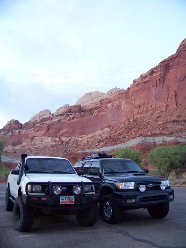
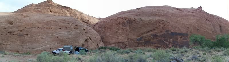
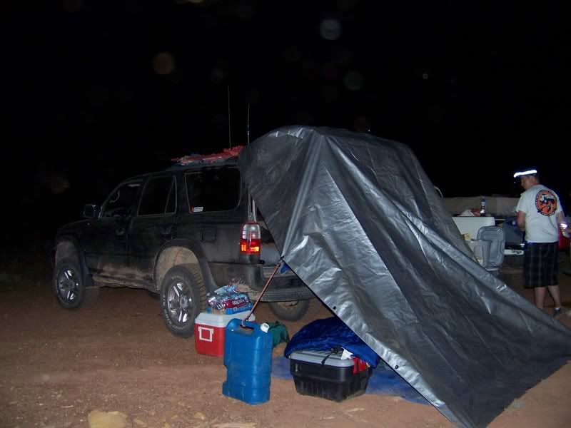
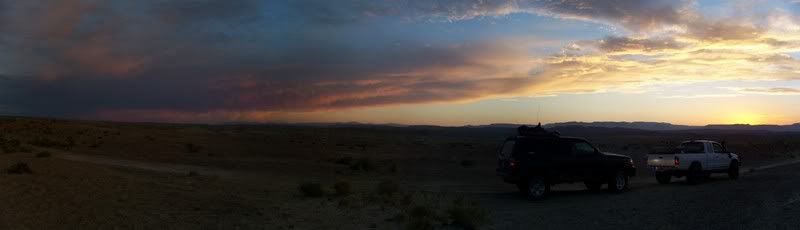
Camp #1:
Photo courtesy of Jason Goates
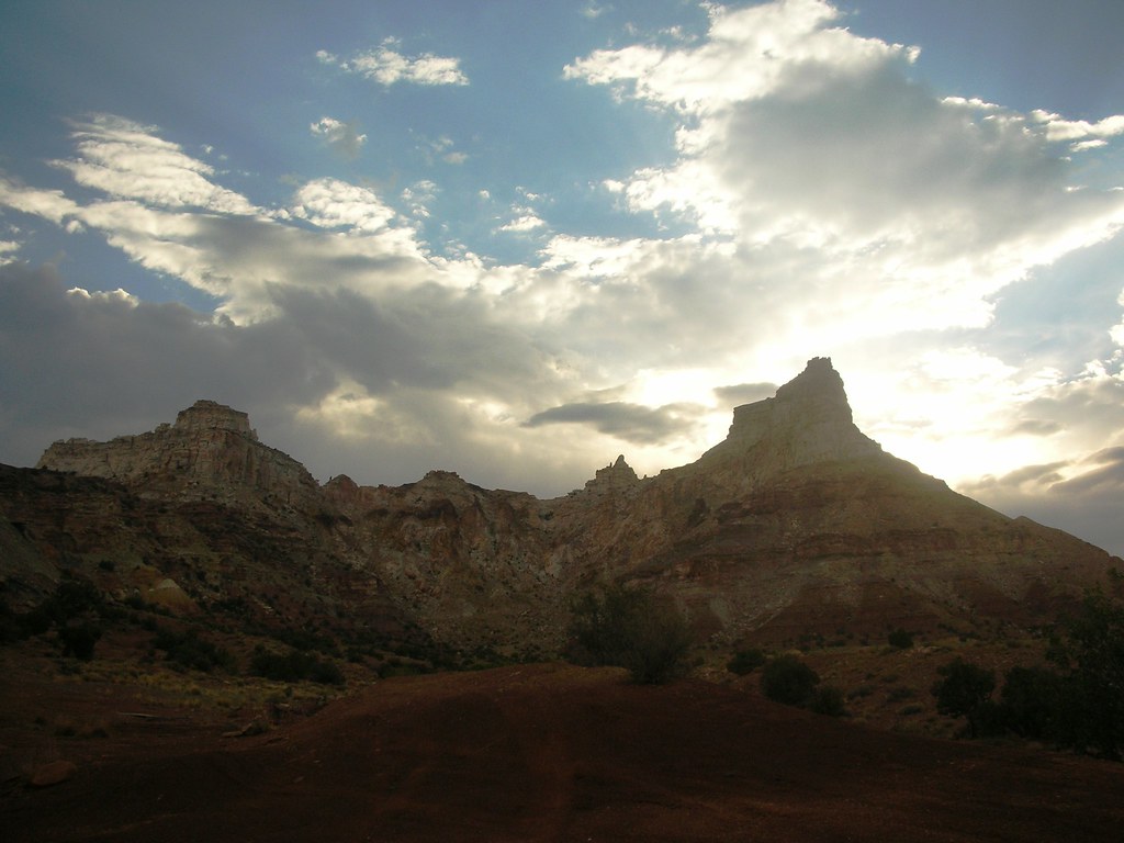
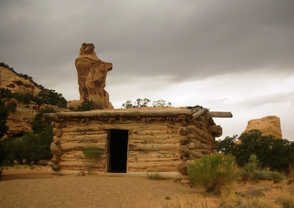
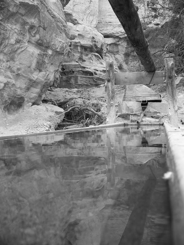
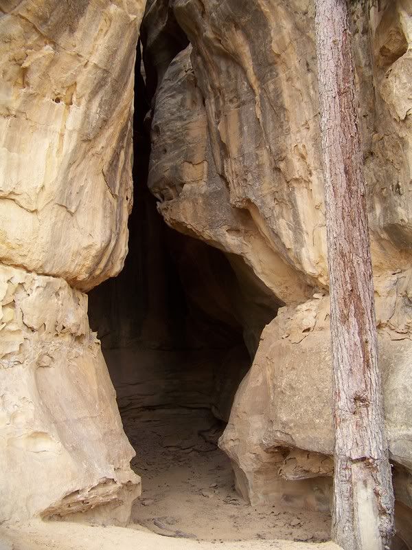
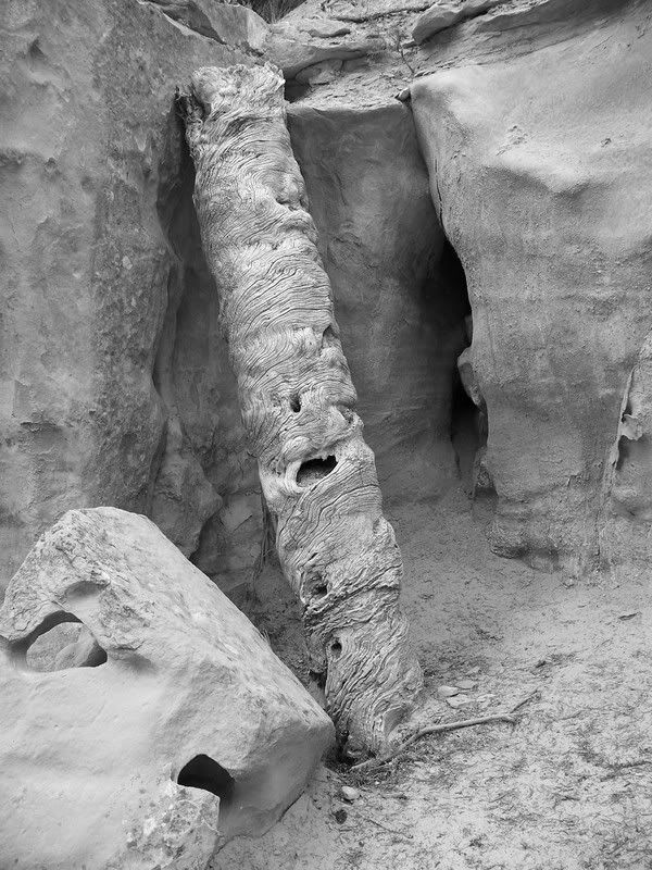
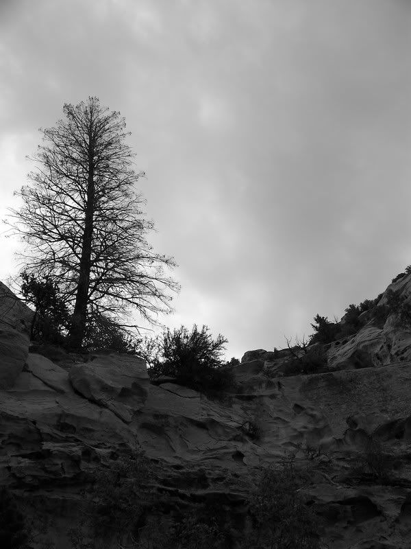
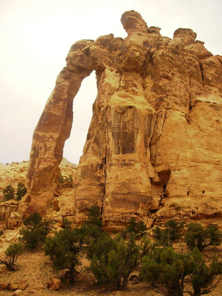
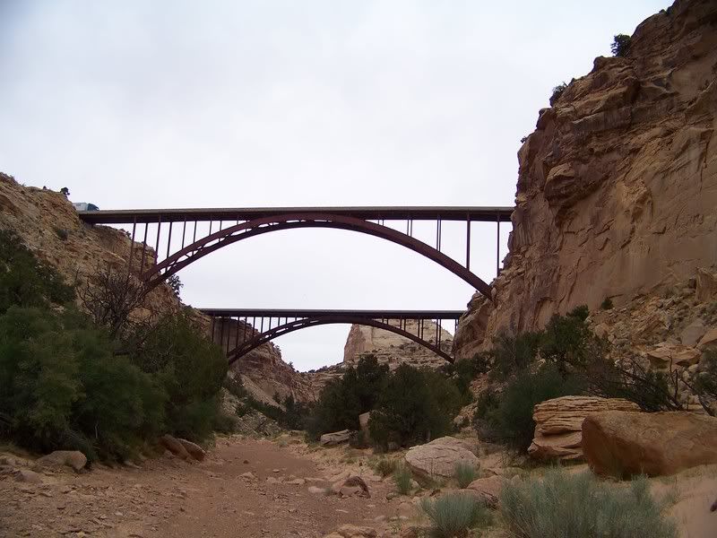
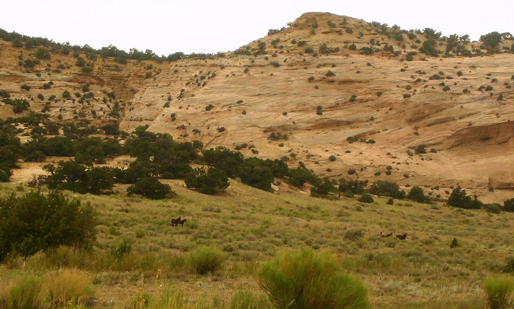
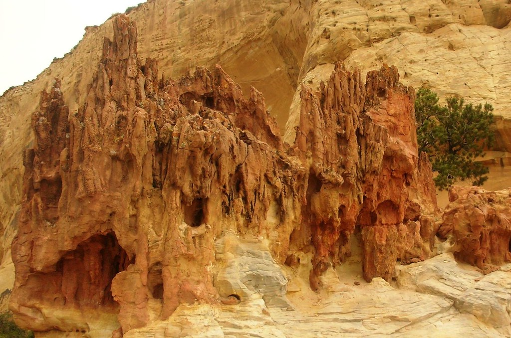
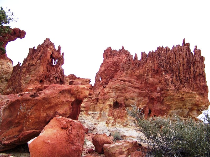
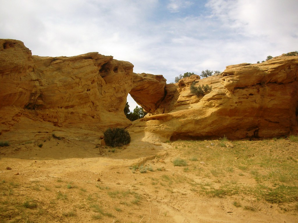
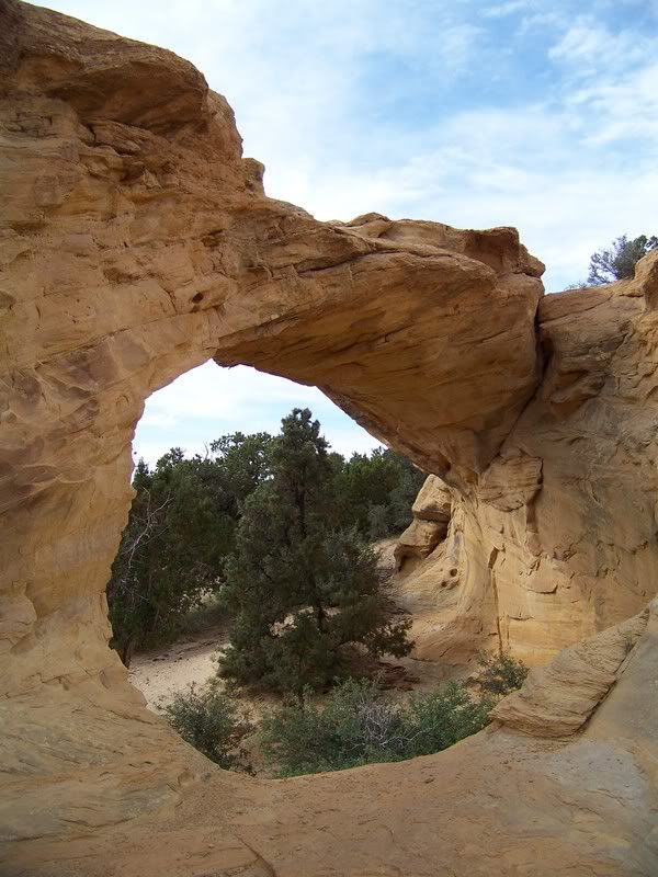
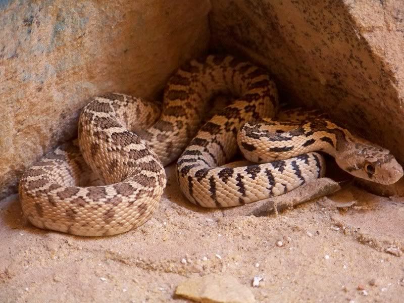
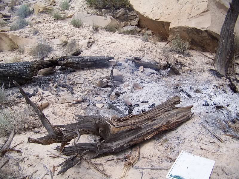
As the sun rose, bringing light in the morning we realized how great our surroundings were, and how happy we all were to be away from the busy routines of a normal 4th of July. I know I cannot possibly describe how great the area is and accurately portray it. So, in order for you to understand and see for yourself, you must take a drive through the area. I will try however to explain some areas of interest more, striving to capture our experience. I will surely do the areas injustice with my descriptions, but this will be an attempt to express some of the area and surely not a comprehensive report.
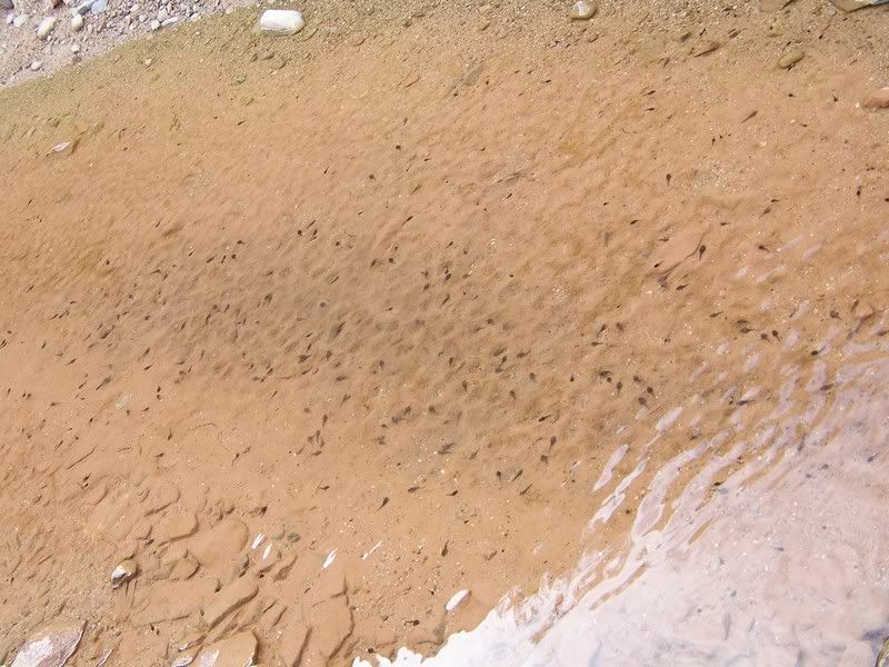
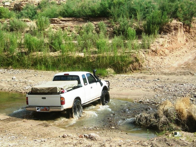
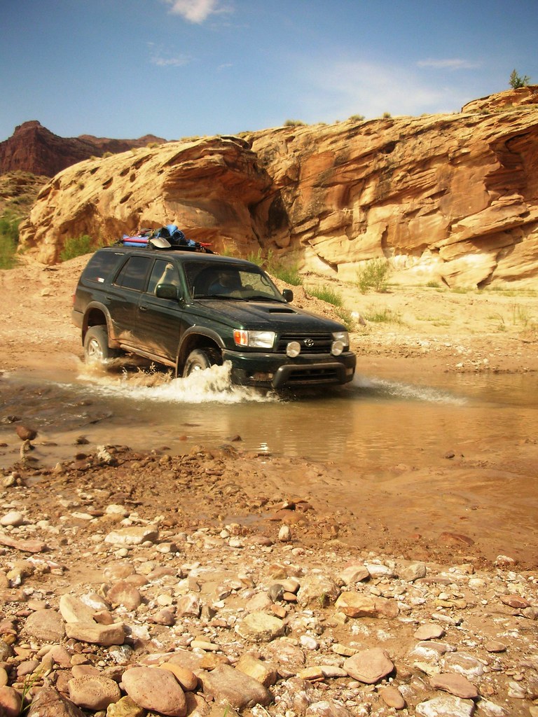
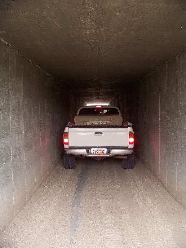
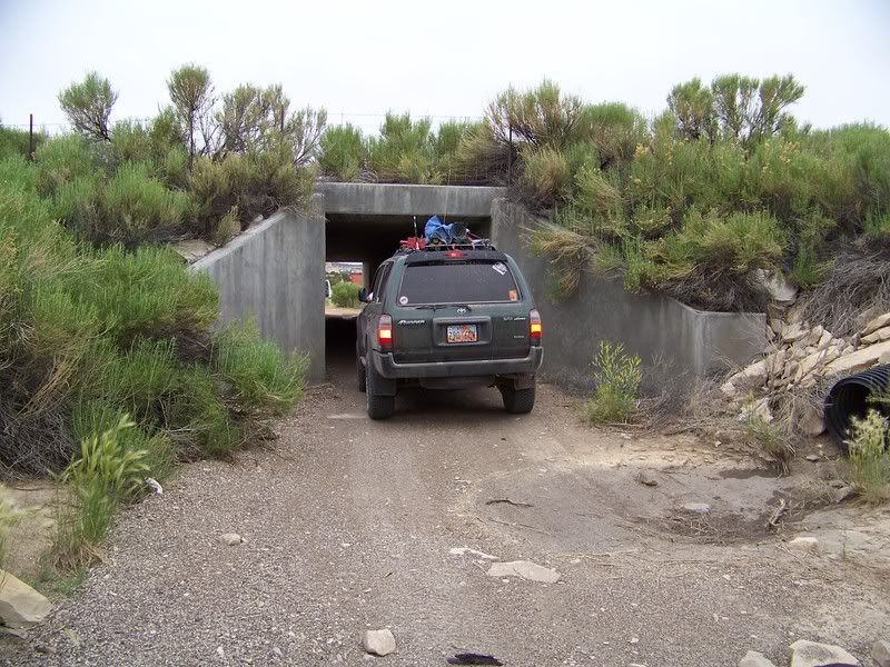
In the morning we packed up quick and continued down the wash, crossing through puddles stocked with hundreds of tadpoles. I had read that Dirty Devil River Crossing is usually about bumper deep. Yet when we rolled through it, the water was down to the main channel and barley came half way up the tires. We were slightly disappointed with the lack of adventure of this river crossing (we would have to wait a day or 2 for river crossing adventure).
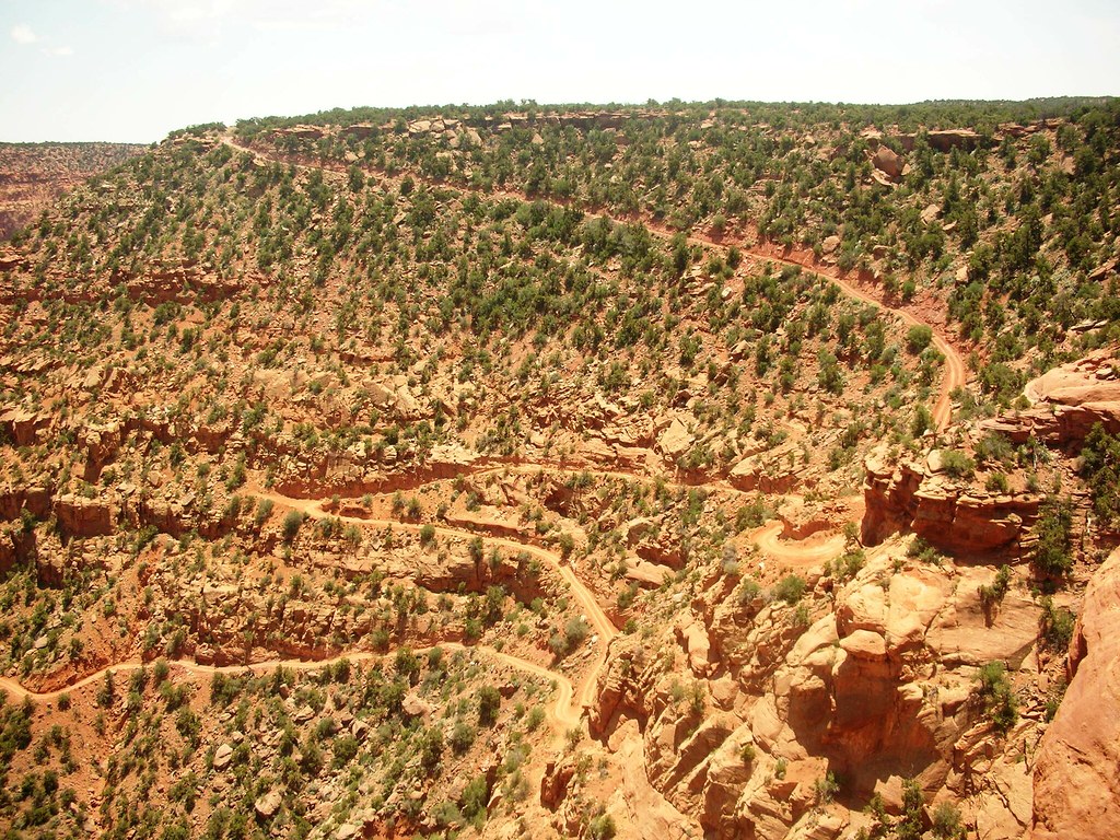
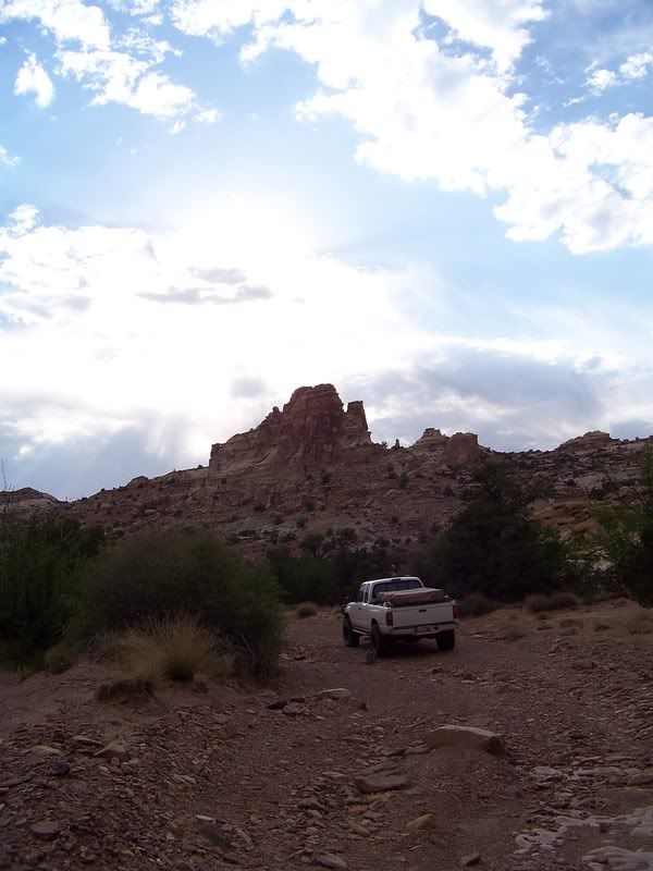
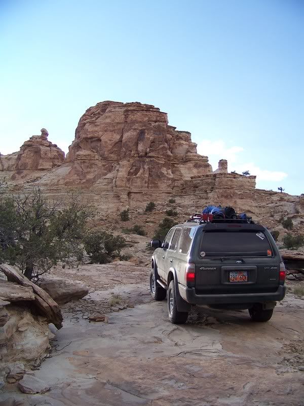
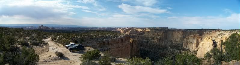
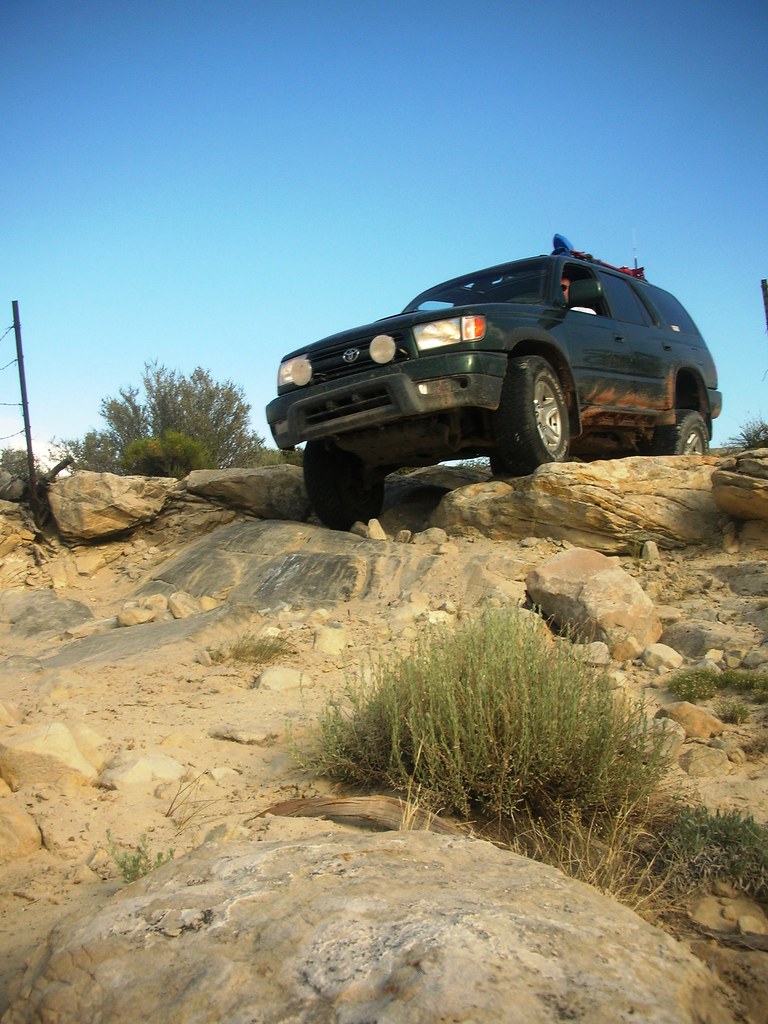
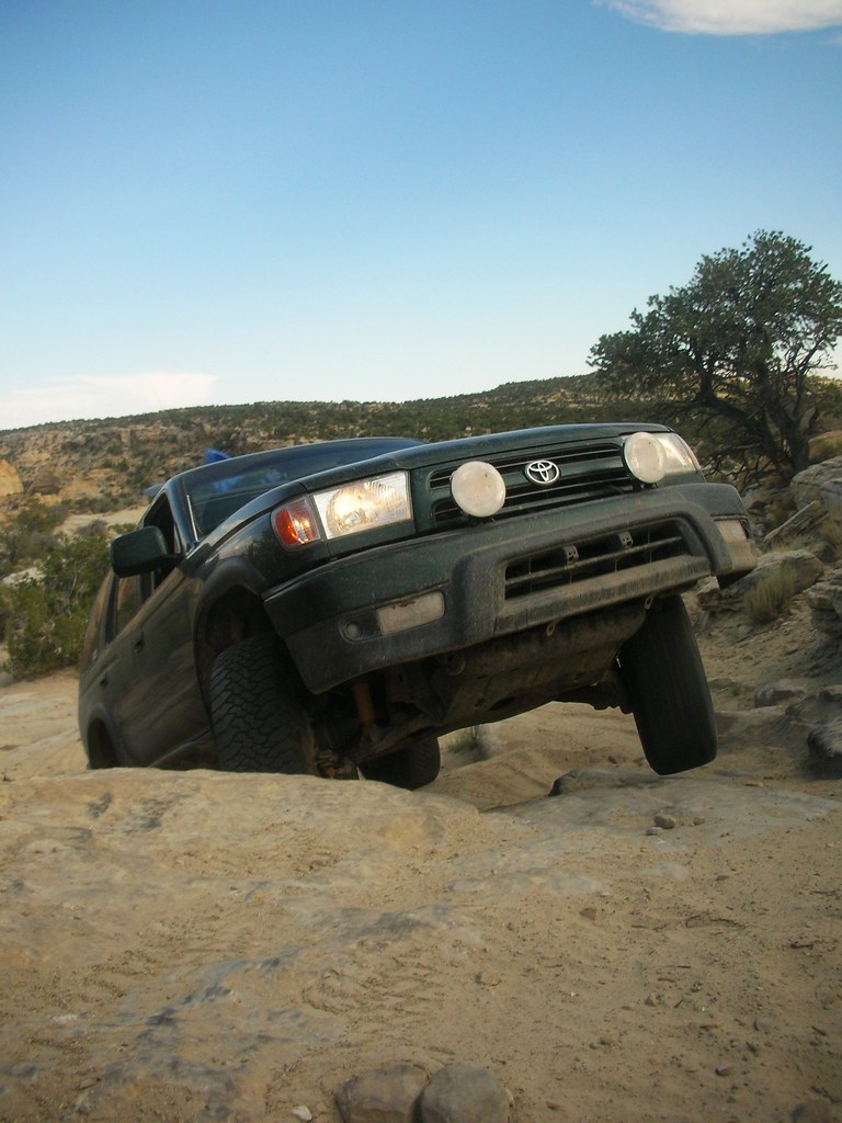
Poison Springs Wash Road:
Photo courtesy of Jason Goates
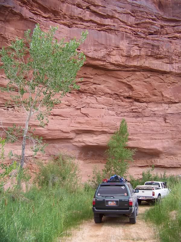
Photo courtesy of Jason Goates
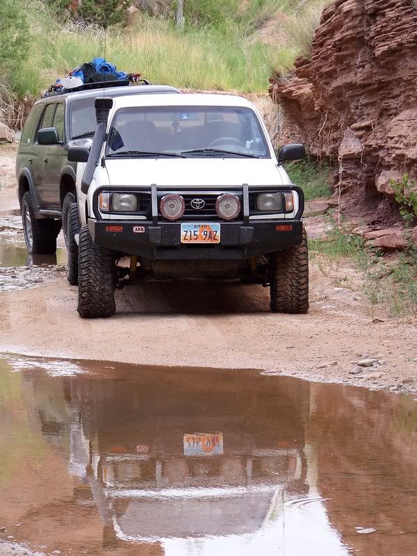
Photo courtesy of Jason Goates
Tadpoles:
Photo courtesy of Jason Goates
Crossing Dirty Devil River:
Photo courtesy of Jason Goates
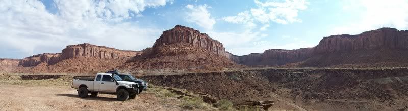
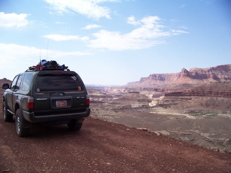
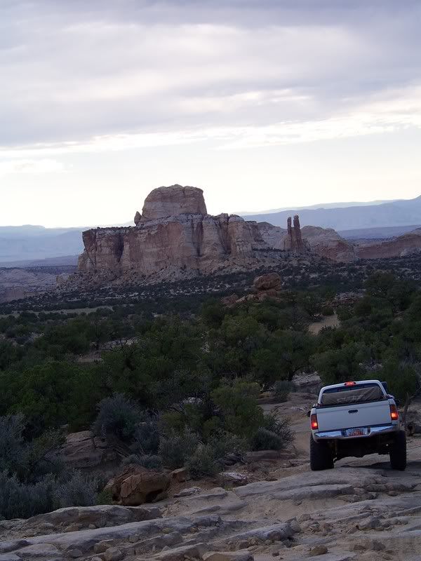
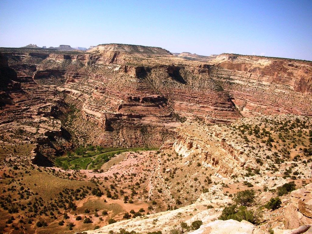
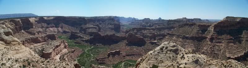
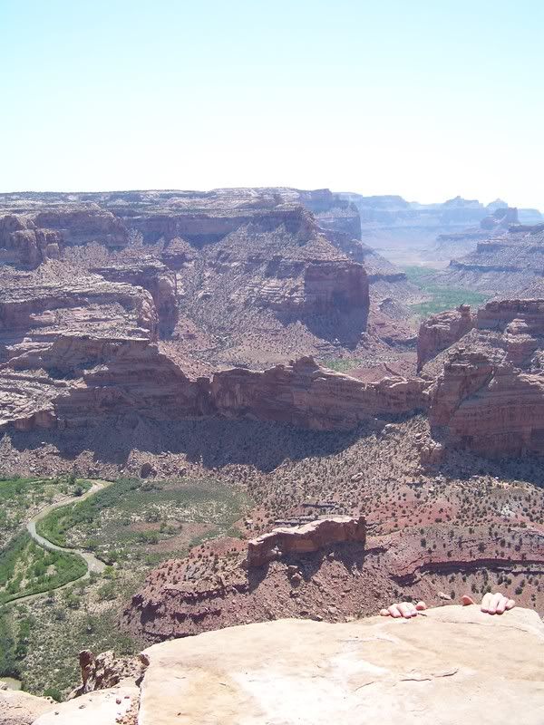
Over Looking Dirty Devil River:
Photo courtesy of Jason Goates
Route:
Mariko and I cruised down to Salt Lake to meet up with Jason (SAMI) and his brother Thomas, loaded up on fuel in Draper, and made Hanksville our new heading. We had heard about construction on Highway 6 so we decided to cruise down I-15 to Scipio, and take 24 through Capitol Reef to start out the trip. We got to Fruita just as the sun was saying its final goodbyes. So, instead of sticking around for long we pushed on. Around 10pm we found Hanksville ripe with expensive fuel, and tasty Hot Pockets. Cruising down 95 we dropped off onto the Poison Springs Wash Road and started looking for camp. Not wanting to be right in the wash we wandered down the road until we came to a great little spot to set up for the night.
Capitol Reef Visitors Center/ Fruita:
Photo courtesy of Jason Goates
Camp #1:
Photo courtesy of Jason Goates
As the sun rose, bringing light in the morning we realized how great our surroundings were, and how happy we all were to be away from the busy routines of a normal 4th of July. I know I cannot possibly describe how great the area is and accurately portray it. So, in order for you to understand and see for yourself, you must take a drive through the area. I will try however to explain some areas of interest more, striving to capture our experience. I will surely do the areas injustice with my descriptions, but this will be an attempt to express some of the area and surely not a comprehensive report.
In the morning we packed up quick and continued down the wash, crossing through puddles stocked with hundreds of tadpoles. I had read that Dirty Devil River Crossing is usually about bumper deep. Yet when we rolled through it, the water was down to the main channel and barley came half way up the tires. We were slightly disappointed with the lack of adventure of this river crossing (we would have to wait a day or 2 for river crossing adventure).
Poison Springs Wash Road:
Photo courtesy of Jason Goates
Photo courtesy of Jason Goates
Photo courtesy of Jason Goates
Tadpoles:
Photo courtesy of Jason Goates
Crossing Dirty Devil River:
Photo courtesy of Jason Goates
Over Looking Dirty Devil River:
Photo courtesy of Jason Goates


 nice report