Trip Report: Snowshoeing AF Canyon - Pine Hollow to Tibble Fork

sixstringsteve

Well-Known Member
Location
UT
On Christmas day, my wife, Fender, and I decided to snowshoe from Pine Hollow to Tibble Fork (the same route we plan on camping at next week.) We parked one car at Tibble Fork Res, and took the other car to Pine Hollow to begin our trek. We started at 1:30 PM.

In the parking lot, we saw a guy playing one of those 20' long alps horns. It looked really nerdy from the car, but when I got out I was amazed. It was absolutely incredible. The notes would echo through all the canyons for at least 10 seconds after he stopped playing. It was similar to church bells echoing off the canyons. I was too quick to judge him. He was a seriously talented player. Video coming soon, once I get it from my wife's phone.

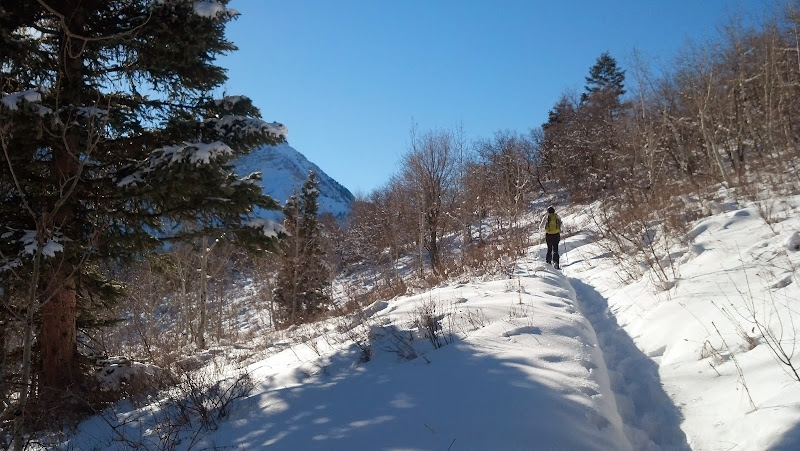
We started up the trail at 1:30. It was a warm, sunny day. We didn't need the snowshoes yet, so we strapped them on our packs and headed out with your yaktracks on.

We got going and kept pealing layers off until we were just in our thermals. no gloves, jackets, or scarves; just sunglasses and thermals. Pretty soon we had climbed enough to look down into the valley.
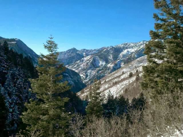
Camera%252520HDR%252520Studio%252520-%2525201388079432974.jpg


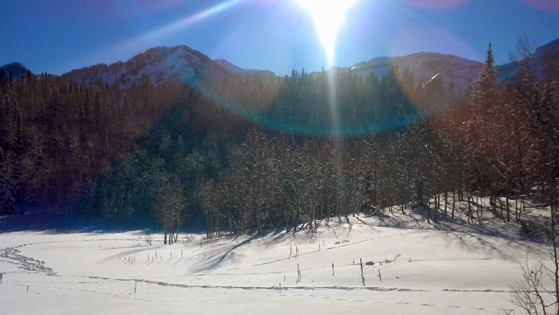
In short time we completed the first 1.5 miles and arrived at the first meadow. We continued on the Pine Hollow Trail (left), towards the second meadow.
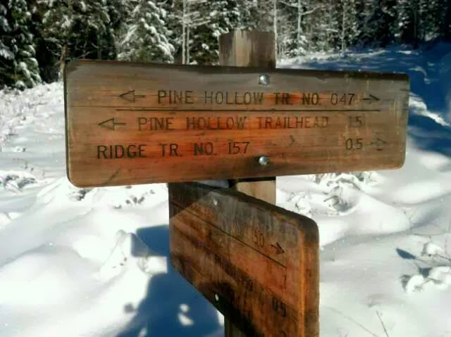
Camera%252520HDR%252520Studio%252520-%2525201388078405438.jpg


Camera%252520HDR%252520Studio%252520-%2525201388079413451.jpg


Camera%252520HDR%252520Studio%252520-%2525201388079532395.jpg


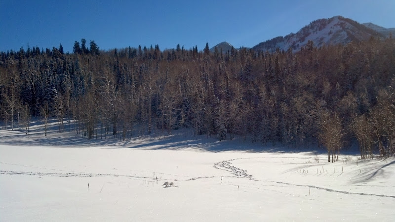
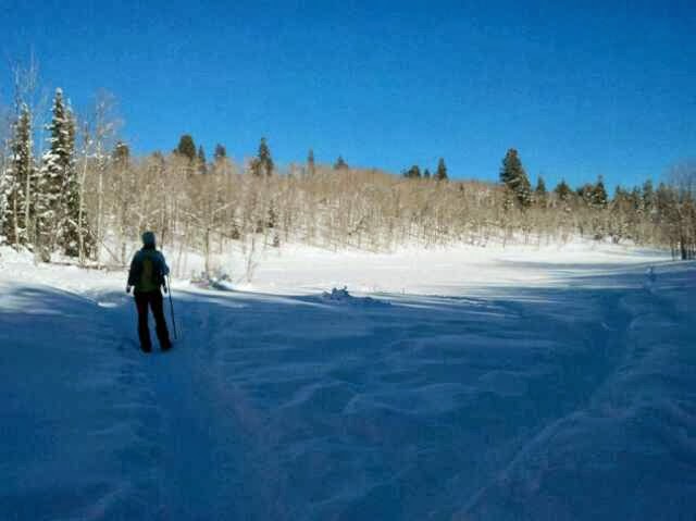
Another half mile later we arrived at the second meadow.
Camera%252520HDR%252520Studio%252520-%2525201388079556720.jpg


IMG_20131225_143518_181.jpg


IMG_20131225_143529_396.jpg


From there we continued left (East) to eventually connect to the ridge trail (157).
 

sixstringsteve

Well-Known Member
Location
UT
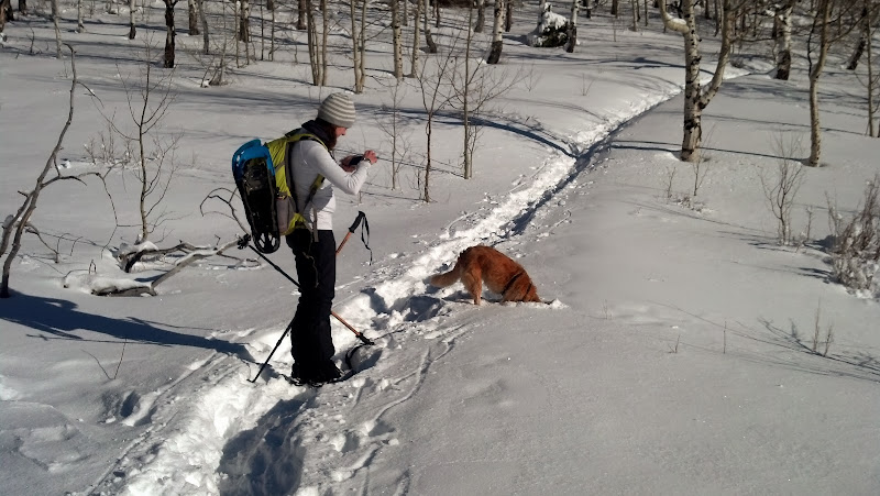
It amazes me how well dogs can smell. If my nose were as sensitive as a dog's nose, it would drive me crazy. From time to time Fender will catch a scent of something and just bury his head in the snow to smell it better.

IMG_20131225_143545_363.jpg


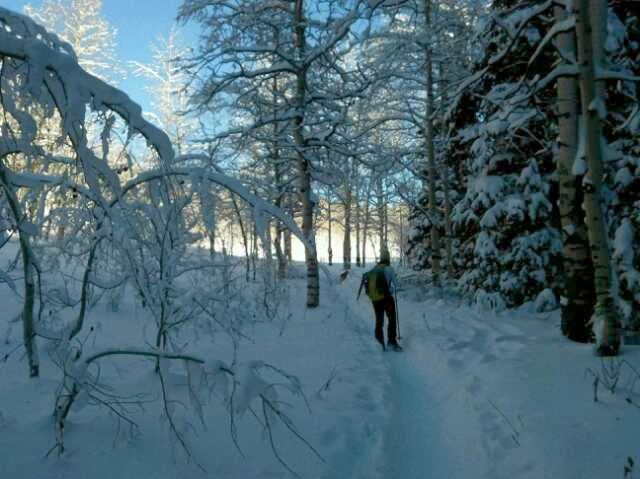
The trail was still nicely packed above the second meadow, so we still didn't use our snowshoes.

IMG_20131225_143756_806.jpg


IMG_20131225_143915_500.jpg


It was really warm here. I would guess around 45*. Snow was falling off the surrounding trees in big clumps. Pretty soon we had arrived at the junction for the ridge trail (157).

IMG_20131225_144050_146.jpg


We made another left (heading north) and continued on towards Mud Springs.

IMG_20131225_150010_297.jpg


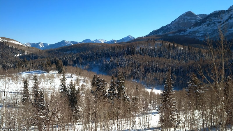
The views from up here were stunning; it was a really clear day.

IMG_20131225_150054_195.jpg


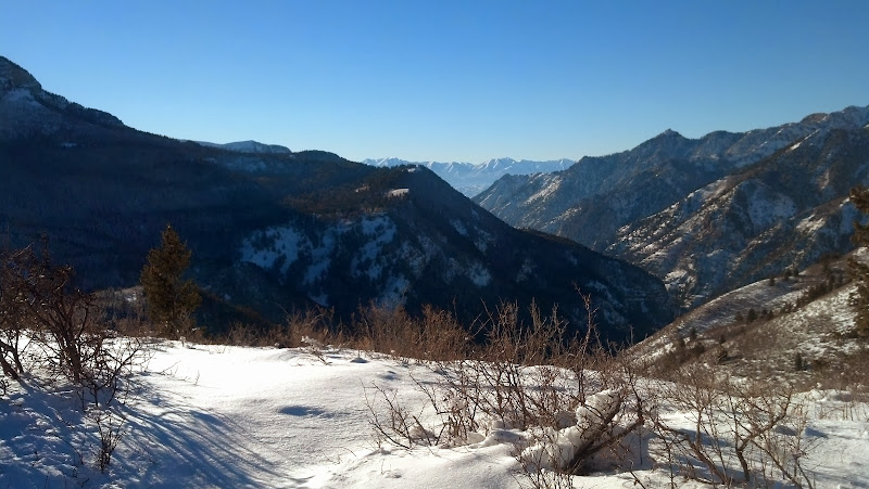
Looking down into Alpine/Highland.

IMG_20131225_150911_535.jpg


IMG_20131225_150924_132.jpg
 

sixstringsteve

Well-Known Member
Location
UT
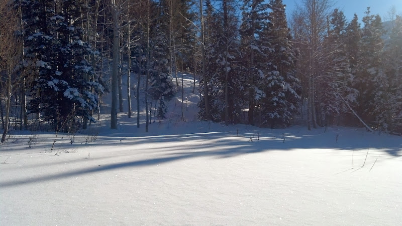
At this point, the snow started to get deeper and not as packed, so we strapped the snowshoes on. In about 200 yards, there was no more trail, it was all snowed over. We could still see a small indentation where the ground dipped. It looked like a small river covered in snow. We followed that trail on to get to mud springs. Breaking trail in knee-deep powder is an exhausting experience.

IMG_20131225_152357_583.jpg


Mud springs looked like nobody had been there all year since the recent snowstorm had buried everyone's tracks. We continued to the right (East) on the ridge trail.

We spotted our camp spot for next week when we'd be staying here:

IMG_20131225_152717_287.jpg


This is a steep section in the summer, and plowing knee-deep powder only made it even more exhausting. Forward progress was about 4 times slower than on the packed trail.

IMG_20131225_152441_015.jpg


[video=youtube;-N0TkRukLWw]http://www.youtube.com/watch?v=-N0TkRukLWw[/video]

Eventually we crested the ridge and could look down into Heber.

IMG_20131225_154119_583.jpg


It probably took us an hour to get from mud springs to connect to the 4-way intersection of trails 157, 41, and 252. If this had been tracked out already, it would have taken us 15 min max.

Eventually we did make it to the intersection, right as the sun was getting hidden by Mt Timpanogos.

IMG_20131225_161458_424.jpg


We headed down trail 41, which would eventually lead us to Tibble Fork Res.

IMG_20131225_161514_499.jpg


Trail 41 was mostly downhill, with some flat sections. Fortunately there wasn't any uphill. We were still plowing trail until we arrived at the junction of 40 and 41. From there it was a quick pace, and we arrived back at the car at 5:45, right as it was starting to get dark.

What a fun trip. I highly recommend this route, and I can't wait to do it again next week, broken up halfway with an overnight stay in between.


It ended up being 7 miles that we covered. About 4 of those miles were trudging through knee-deep powder. My wife is in better shape than I am, so we were able to trade off blazing trail. What a fun way to spend time on Christmas.
 
Last edited:

Greg

Make RME Rockcrawling Again!
Admin
Wow, that is a lot of ground to cover! I don't think most people that haven't been snowshoeing realize how much work it is to cover a decent amount of ground. Looks like a good time Steve, got to love it when the weather is nice and you have to strip down a little!
 

sixstringsteve

Well-Known Member
Location
UT
Thanks. Yeah, it was a haul. It'll be a lot easier next week now that it's all tromped down. It'll probably cut a good hour off our total time.
 

ricsrx

Well-Known Member
i was supprised at how much traffic had been on the lower part of the trail.
nice post
 

sixstringsteve

Well-Known Member
Location
UT
yeah, the lower 2 miles of most trails there are pretty hardpacked now. The cycling clubs go up there and stomp it down pretty good.
 
Top