Trip Report: Utah Backcountry Discovery Route October 17-22

sixstringsteve

Well-Known Member
Location
UT
Tuesday night, October 16.

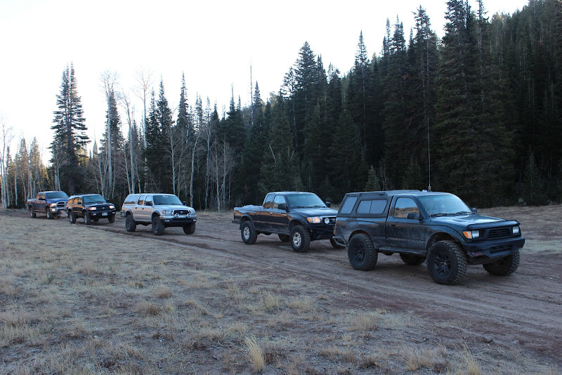
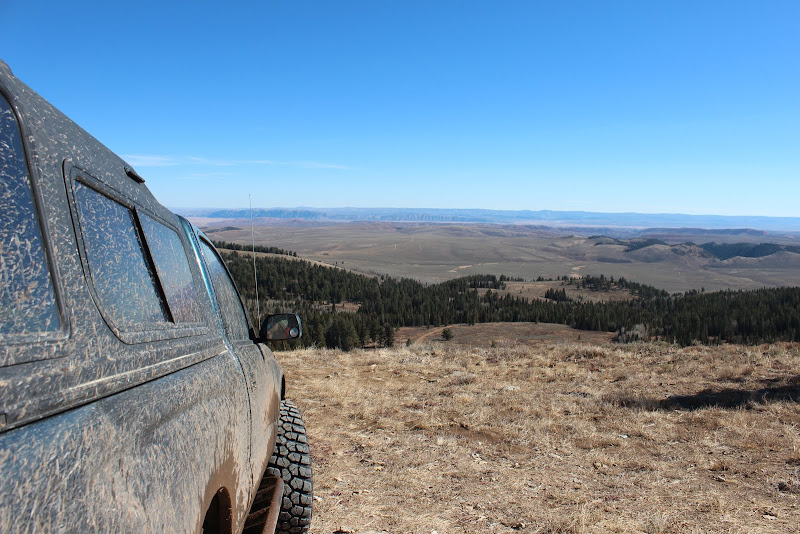
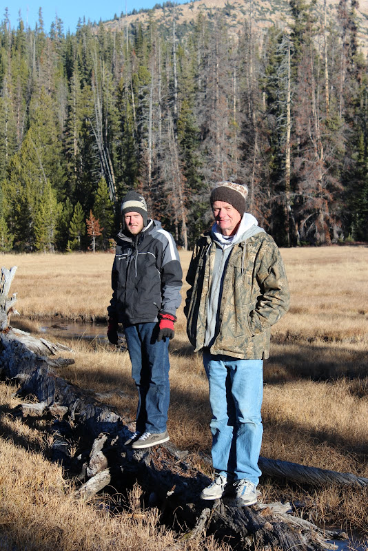
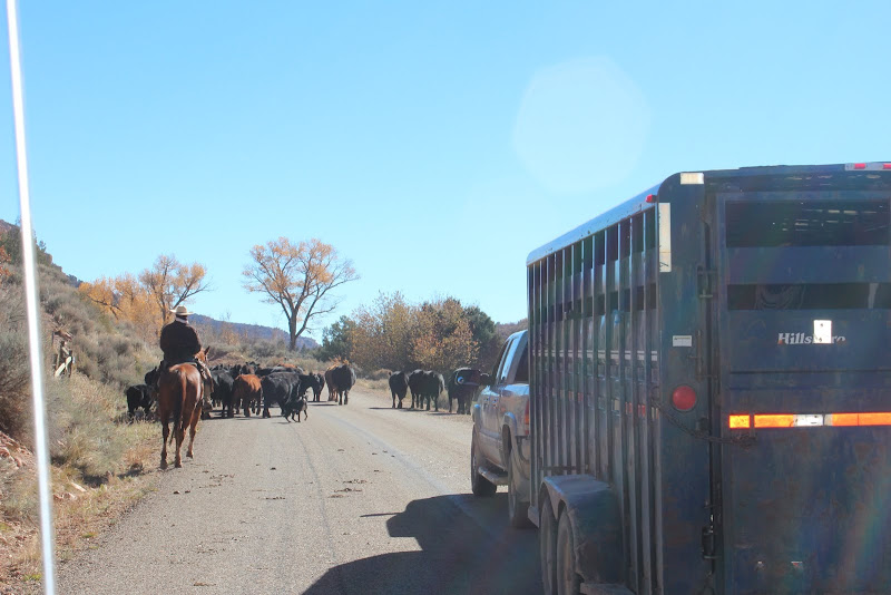
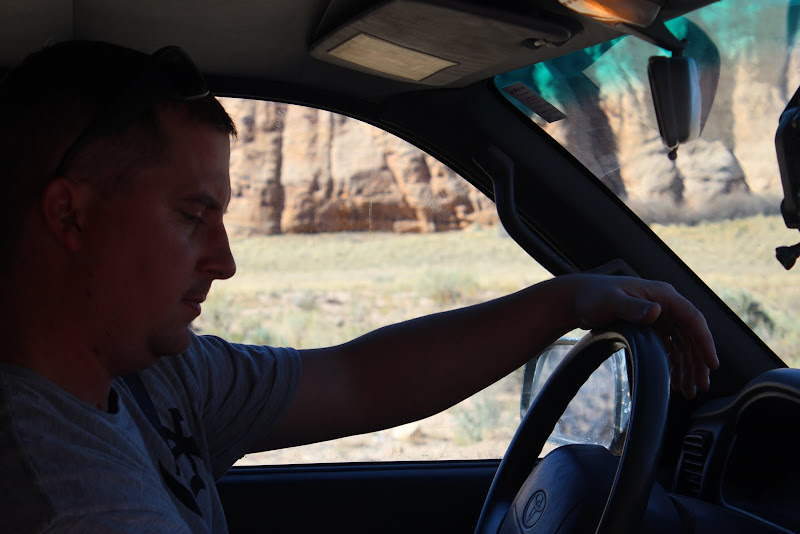
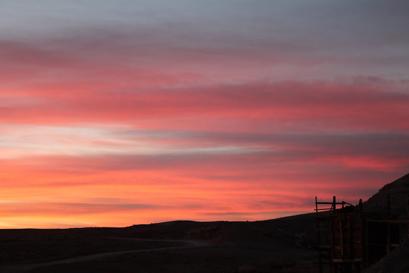
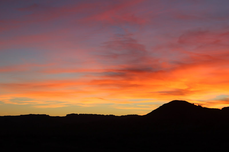
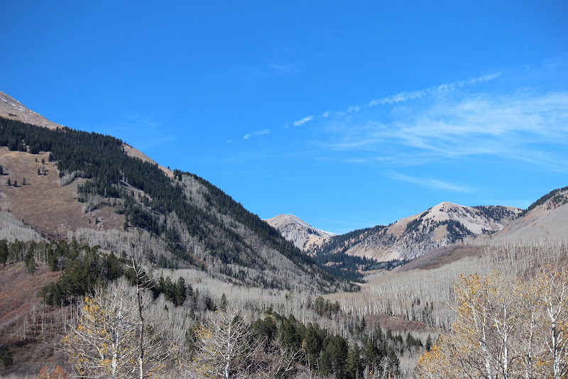
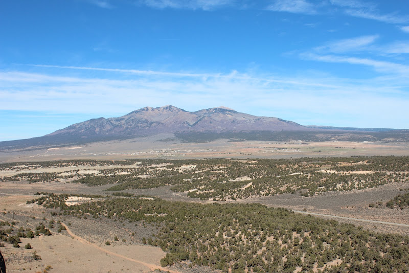
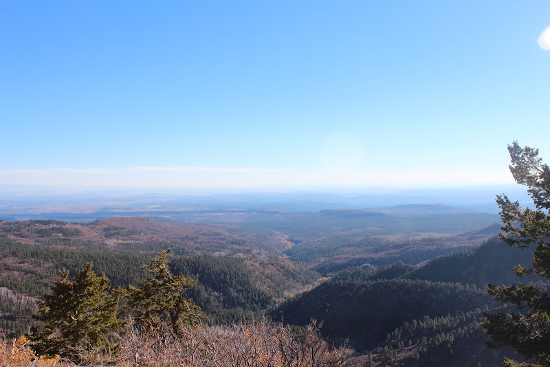
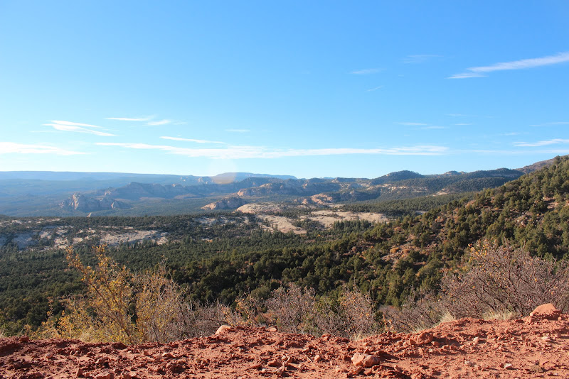
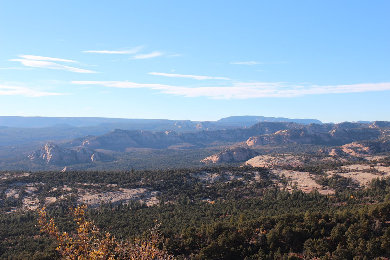
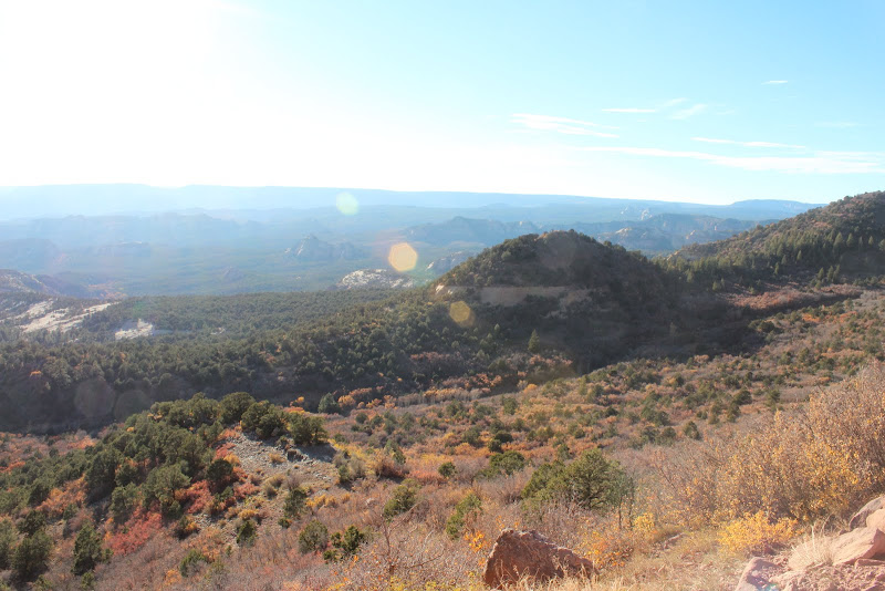
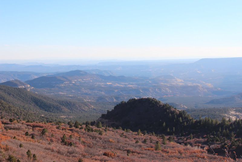
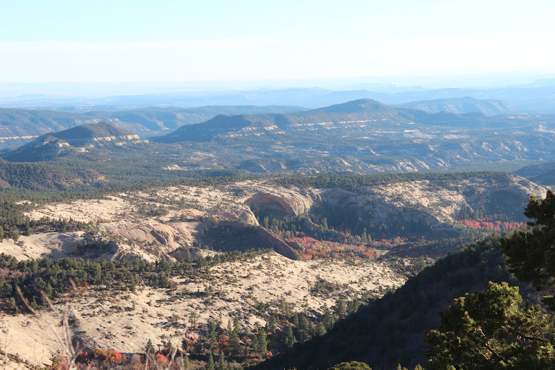
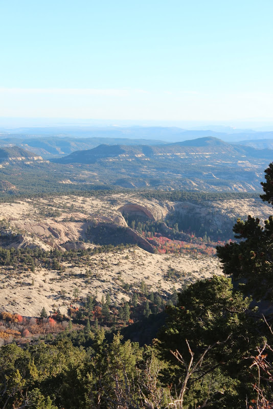
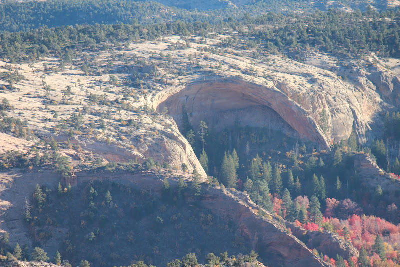
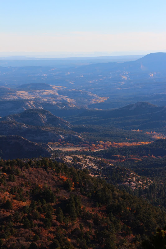
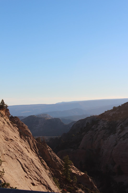
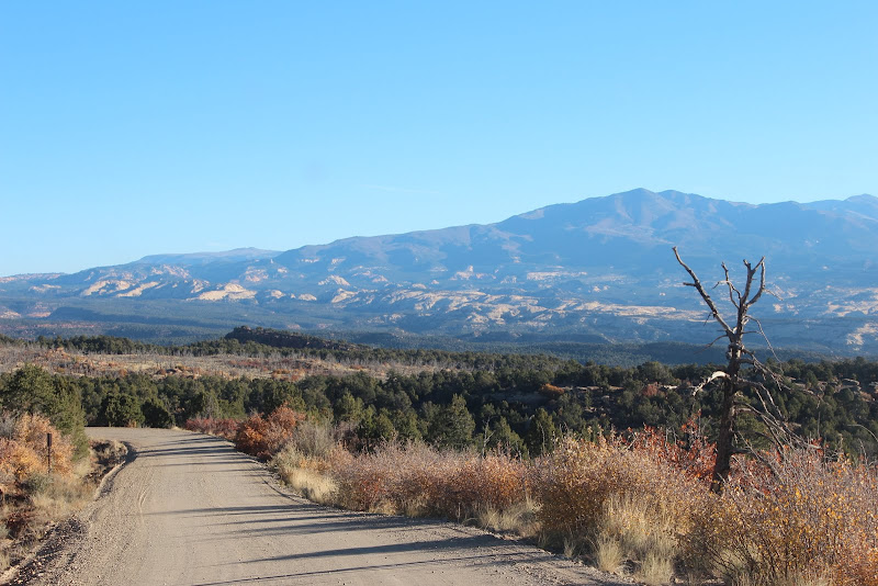
FatTony, Jentzman and I left Lehi around 6:00 PM, headed for our first night's camp spot near Bear Lake. Aroud 103rd S, it started to pour. The wind was gusty and it was raining like crazy, and we were a bit worried about the weather for the trip. About 20 minutes later, the rain stopped and we headed for Logan. After some dinner and a last-minute stop to Walmart for ammo, we started up Logan Canyon. It was dark by this time, and the wind was still blowing hard.

RotBox and Medsker were hopefully already at the campsite by now, making sure the hunters didn't beat us to our spot.

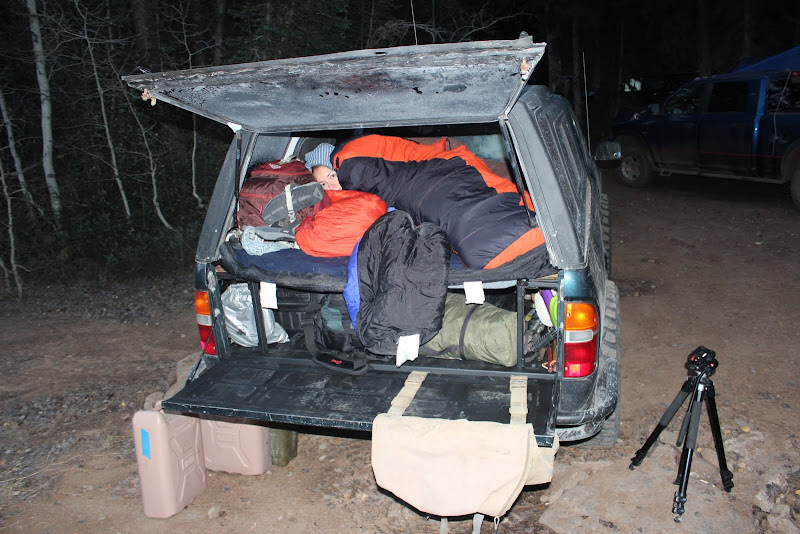
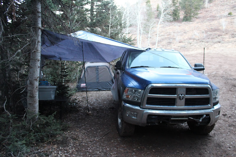
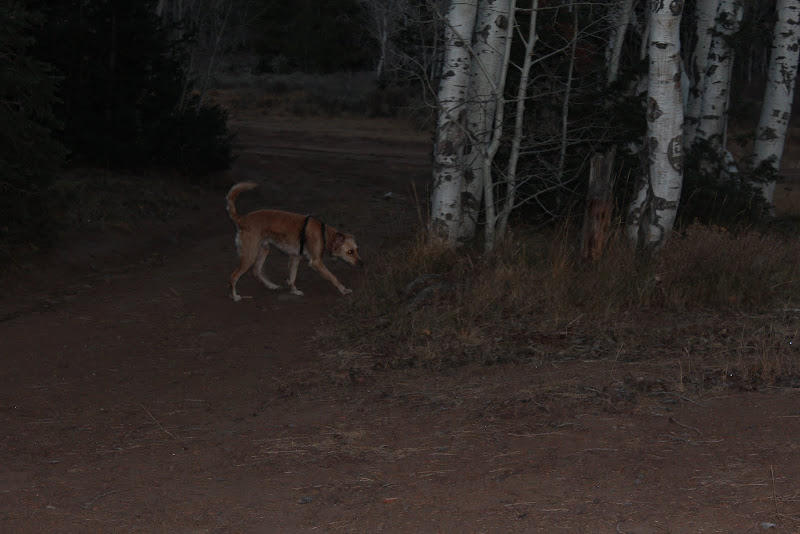
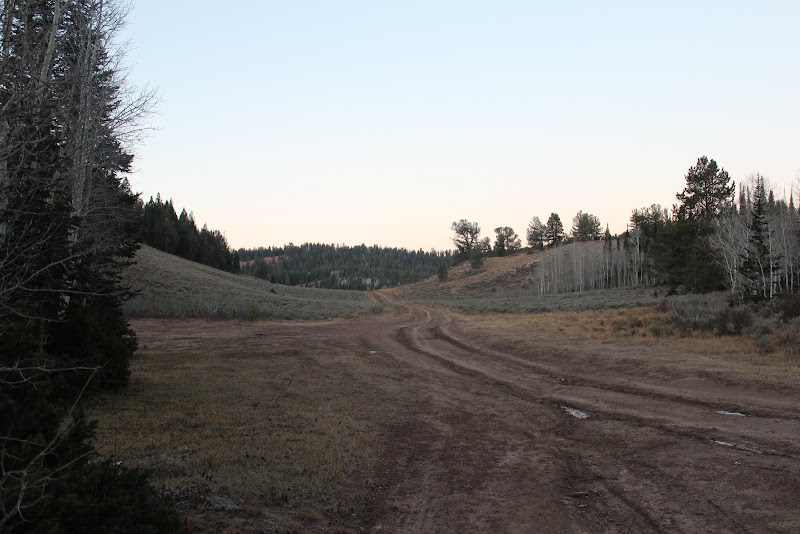
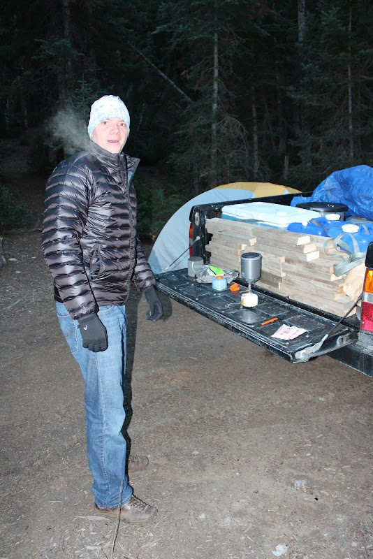
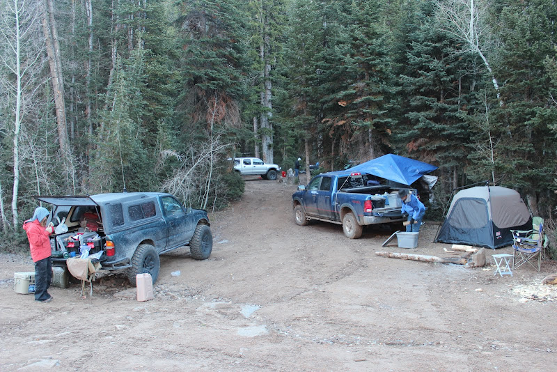
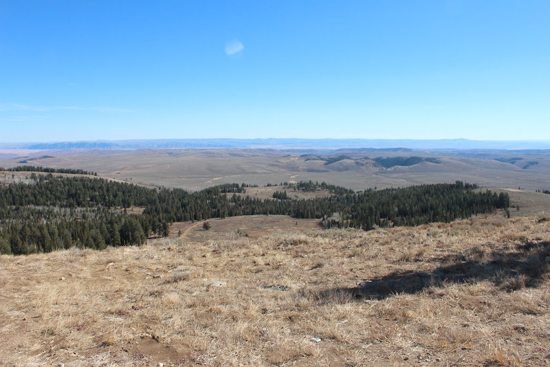
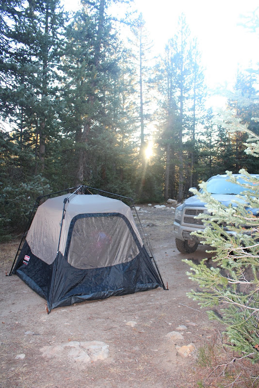
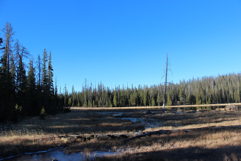
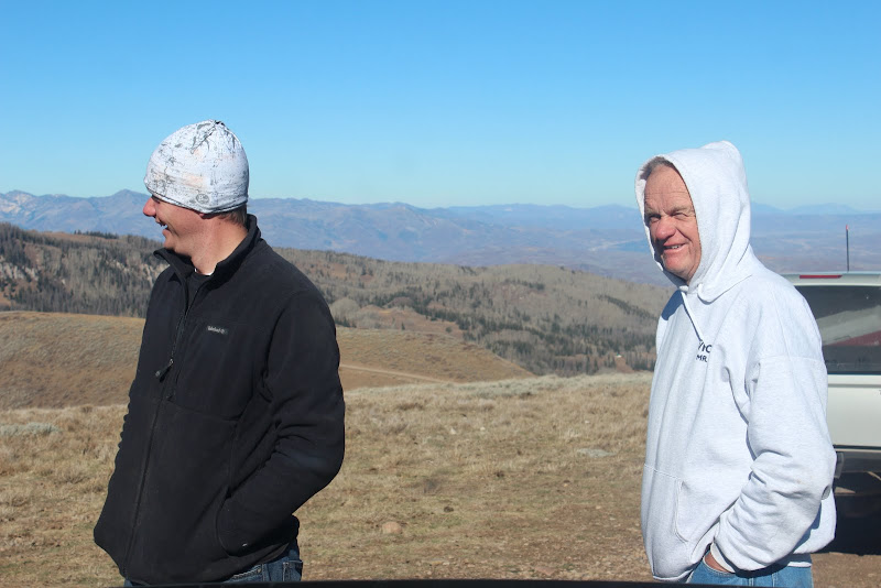
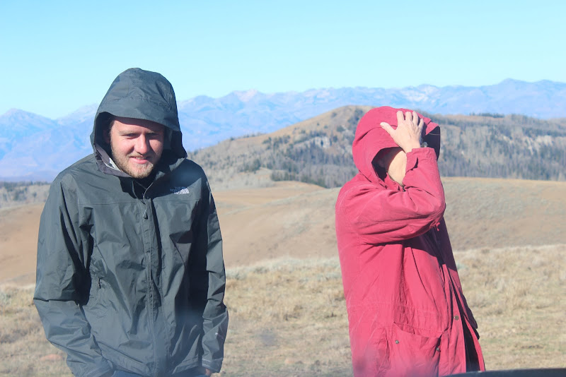
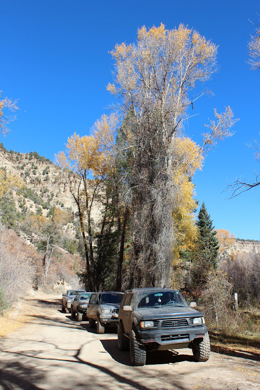
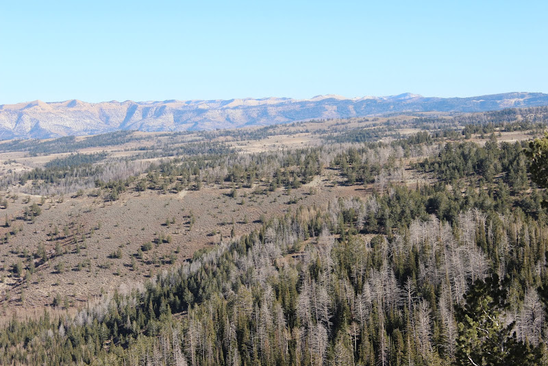
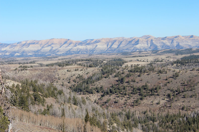
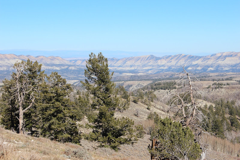
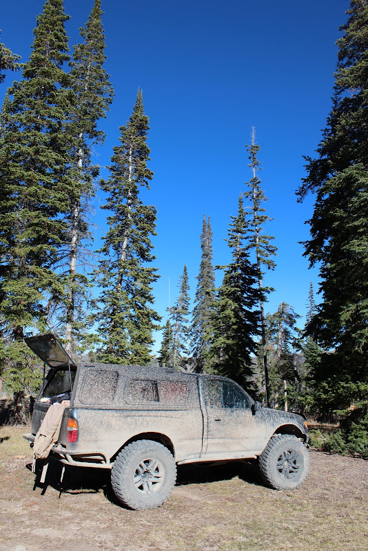
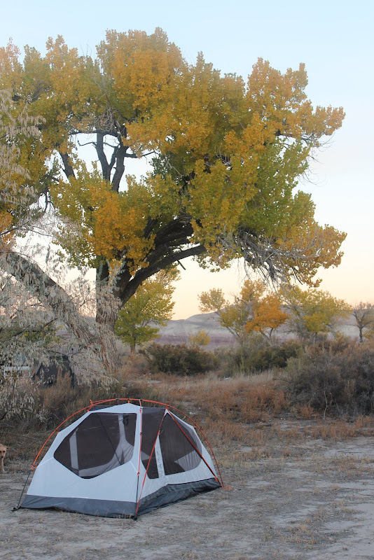
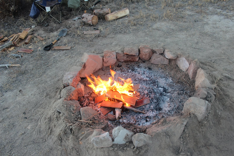
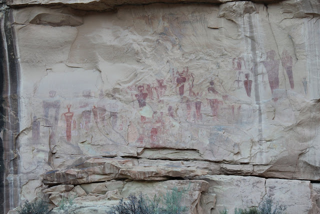
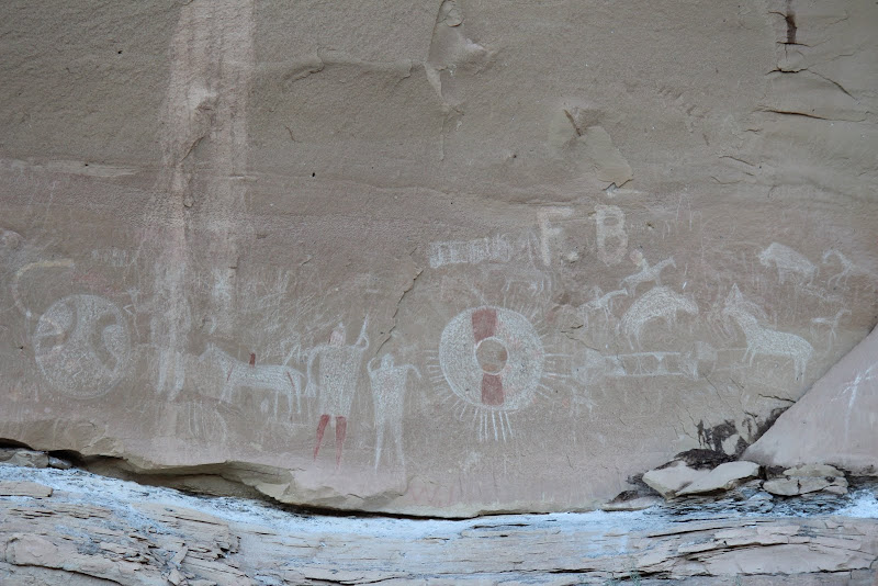
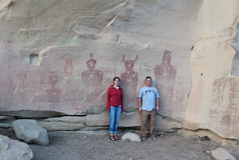
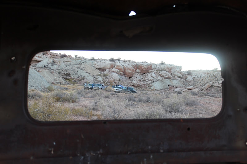
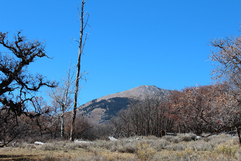
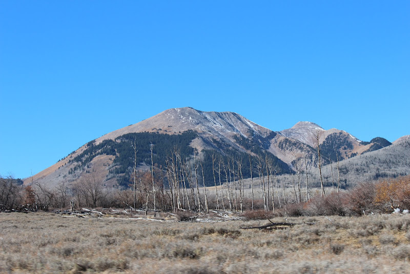
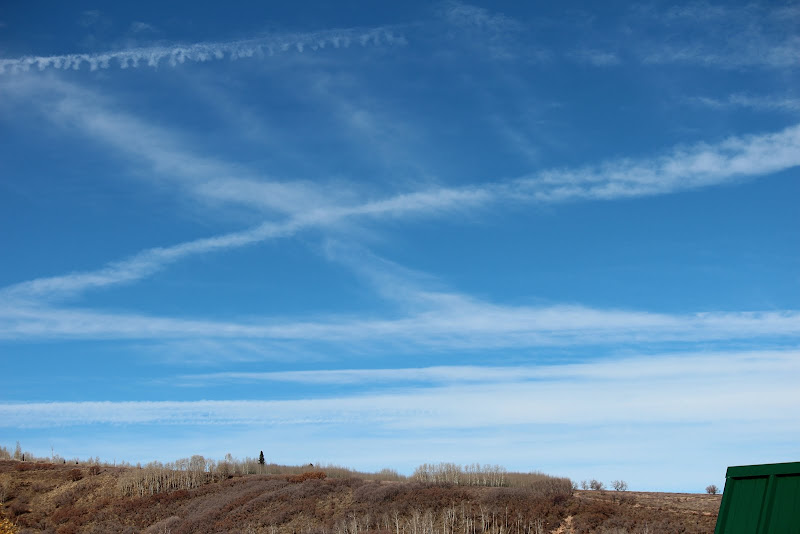
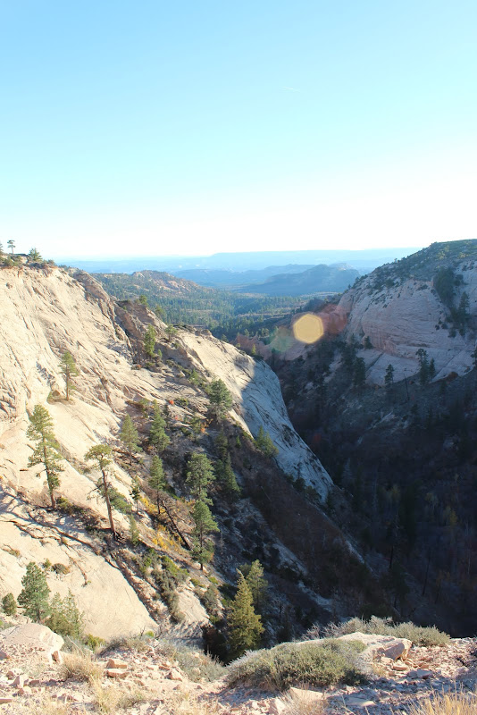
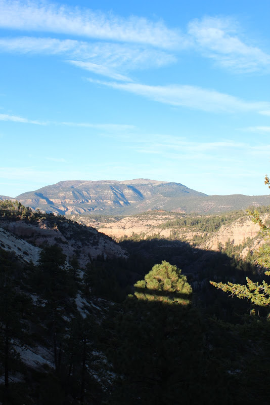
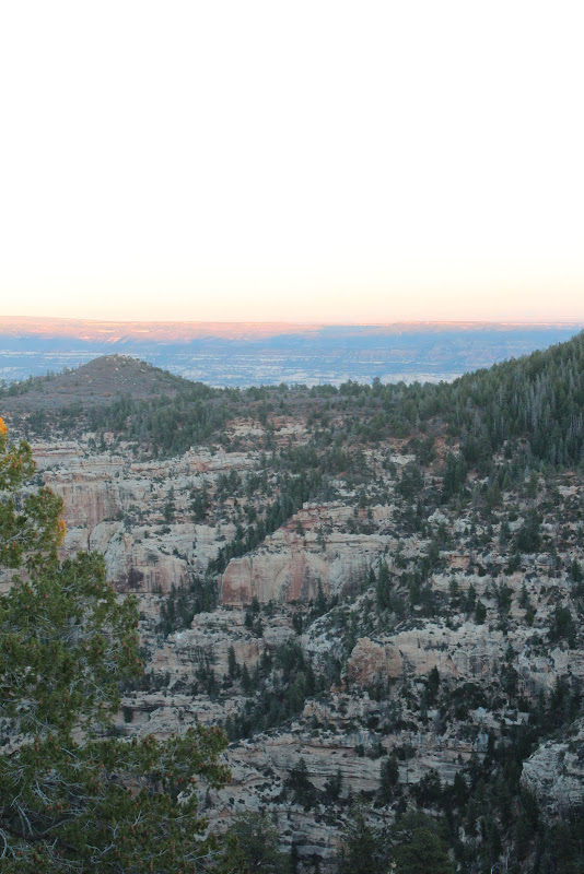
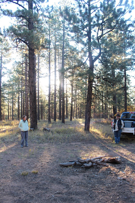
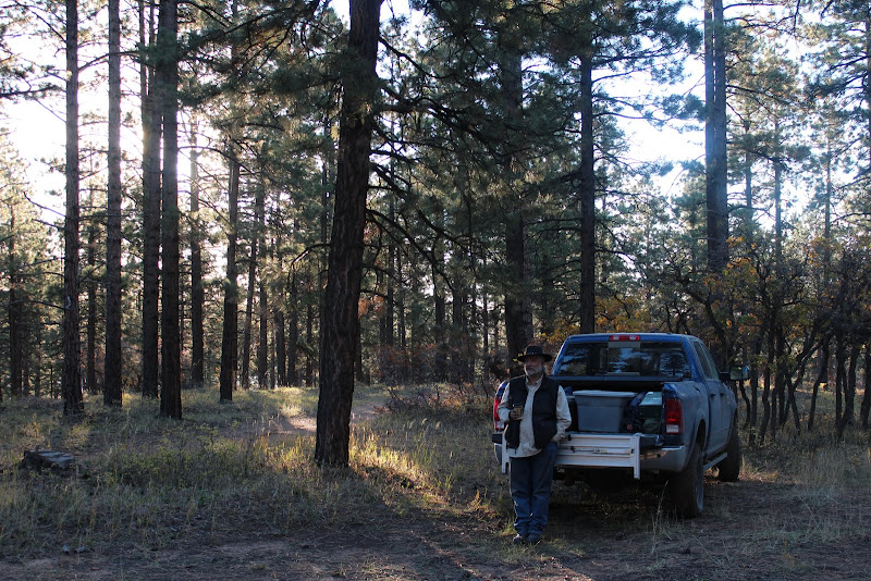
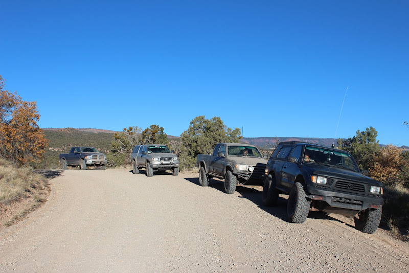
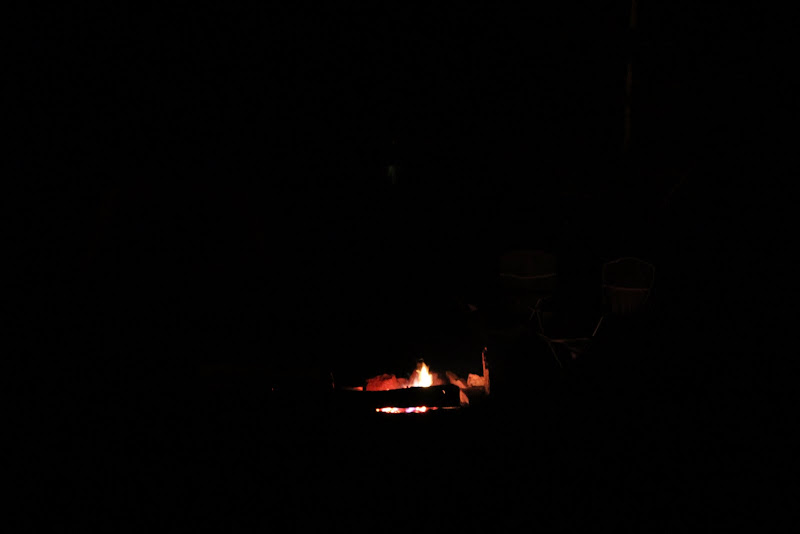
Our GPS took us right to the campsite, and we met Medsker and Rot Box aroud 10 PM. They picked a great campsite that was sheltered from the trees. They told us of their adventure of the day, battling hail, rain, and strong gusty winds, but they were in good spirits and the fire was already burning for us.

UTBDR%2520441.JPG


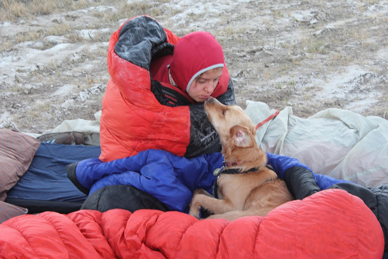
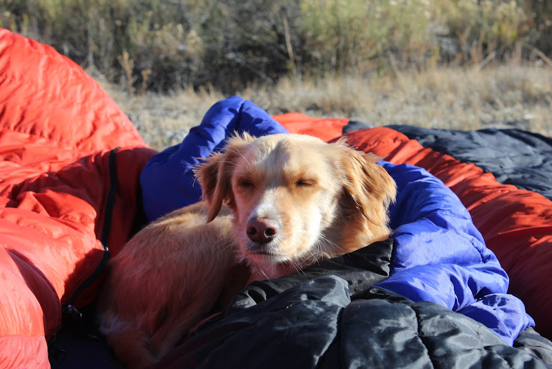
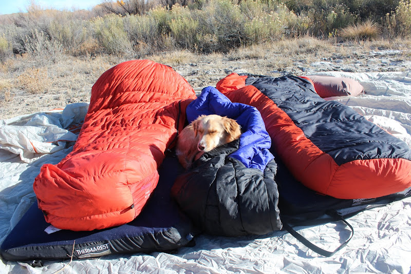
It was late and cold and windy, and we were tired so we hit the sack.

UTBDR%2520439.JPG
 
Last edited:

sixstringsteve

Well-Known Member
Location
UT
DAY 1

Bear Lake to Uintas.
It’s 7:30 AM. I wake up to an ice-frosted camper shell. Outside, Medsker’s thermometer registered a chilly 17 degrees. Fender was up and ready to get going, so we climbed out of the truck to start our day.

UTBDR%2520452.JPG


UTBDR%2520456.JPG


UTBDR%2520460.JPG


UTBDR%2520461.JPG


Soon after, everyone awoke with a smile on their face. Even Medsker, who's air mattress had gone flat on him during the night. With such strong winds and cold temperatures I was surprised to see everyone so cheery. Everyone had a great attitude and they were clearly there for the right reason.


UTBDR%2520468.JPG


UTBDR%2520462.JPG


UTBDR%2520448.JPG


UTBDR%2520447.JPG


UTBDR%2520449.JPG


UTBDR%2520472.JPG


after a quick and chilly breakfast, the camp came alive.

UTBDR%2520479.JPG


UTBDR%2520477.JPG


UTBDR%2520478.JPG


UTBDR%2520480.JPG


UTBDR%2520482.JPG


We packed up and got ready to hit the road.

UTBDR%2520500.JPG
 
Last edited:

sixstringsteve

Well-Known Member
Location
UT
The road in this area was incredibly smooth. We blasted through the occasional ice-crusted pothole at the tune of 30 mph. The initial scenery was quite like west desert, with small shrubs covering the landscape. Soon thereafter we entered a pine forest. Not more than 15 minutes after that, we were in an Aspen forest. Not much later, we found ourselves surrounded by red rich dirt. At one point, we had desert shrubbery behind us, aspens on the left, pines on the right, and red dirt ahead. It was amazing to see all 4 of Utah’s landscapes in one scene. It was a sight to behold.

As we meandered through the forest, we twisted and turned through valleys and hills, passing the occasional hunter. After an hour or two, we started climbing a sweeping turn and suddenly the skyline dropped and we could see all the way into Wyoming. The contrast from dense forest to wide open mountaintop was stunning and the vista just comes up all at once. It was breathtaking. Pictures cannot do it justice.


IMG_0890.JPG


IMG_0891.JPG


IMG_0892.JPG


We worked our way towards the highway, blasting through dirt roads. Due to the intense windstorm the previous night, several trees had blown across the trail. With hatchets, tow straps, and strong arms, we cleared all the trees to make the trail passable.

Once on the highway we headed for Evanston. Andrew had to head home, and after much weeping, the rest of us continued on. In Evanston we gassed up, ate lunch, medsker picked up a new sleeping pad. We then made our way across the pavement to the northeast corner of Utah: 3-corners.

IMG_0894.JPG


IMG_0895.JPG


There we found a simple adobe monument built in 1873 that was still standing. It was pretty neat to see that piece of history.

IMG_0897.JPG


IMG_0898.JPG


IMG_0901.JPG


From there we hit dirt again and headed to our destination in the Uintas. We passed through quite a few aspens. It was beautiful country.

IMG_0909.JPG


There were more frozen puddles to splash through. There were a few muddy sections that covered my truck. That’s what I get for having tires that stick out past the fenders.

IMG_0912.JPG


We worked our way through to the Uintas and stopped at a lake briefly.

IMG_0911.JPG


From there, we headed to provo falls. The water flow was meager, but it still made for some beautiful scenery.


IMG_0979.JPG


IMG_0920.JPG


IMG_0922.JPG


IMG_0972.JPG
 
Last edited:

sixstringsteve

Well-Known Member
Location
UT
IMG_0982.JPG


We then headed up to trail 041 to find a wonderful campsite. This whole concept of arriving at camp while it's still light is new to me.

IMG_0992.JPG


IMG_0990.JPG


IMG_0993.JPG


IMG_0997.JPG


It was another chilly night and the fire only kept the fronts of our legs warm, but it was better than nothing. The company was great. At the fire, we had the pleasure of hearing Medsker tell the poem of Sam McGee and the story of old Eph. He’s a great storyteller and it was fascinating to hear about stories from the area we were staying in.

IMG_0989.JPG


After we couldn’t take the chill any longer, we headed to our tents and went to sleep…


Day 1 video:
[video=youtube;CdZN4iE_HOY]http://www.youtube.com/watch?v=CdZN4iE_HOY&feature=youtu.be[/video]
 
Last edited:

sixstringsteve

Well-Known Member
Location
UT
DAY 2
Uintas to Wellington

Once again, we awoke to freezing temperatures. I think we were up to 25* this morning, an 8* improvement over yesterday. We took a little hike to a frozen spring that turned into a lake.

IMG_0994.JPG


IMG_1004.JPG


IMG_1034.JPG


IMG_1009.JPG


IMG_1029.JPG


IMG_1031.JPG


On our hike we passed a rock that looked like petrified wood. Calling all geologists/science teachers. is this petrified wood?

IMG_0998.JPG


Medsker, being the good steward of the land that he is, collected an entire trash bag full of carbage from previous campers.

IMG_1038.JPG
 
Last edited:

sixstringsteve

Well-Known Member
Location
UT
We left the campsite and headed south. We soon came to Mill Hollow reservoir.

IMG_1039.JPG


IMG_1042.JPG


IMG_1043.JPG


We continued further south and we found ourselves on dirt roads that rode along the tops of ridges. The vistas were incredible. We were just north-east of Strawberry and we could see for miles in all directions. We could even see the back side of Timp and Mount Nebo.

IMG_1055.JPG


IMG_1064.JPG


IMG_1065.JPG


Continuing on, we arrived a Current Creek Reservoir a few hours later.

IMG_1089.JPG


IMG_1068.JPG


IMG_1069.JPG


IMG_1093.JPG


While there, we stopped by the bathrooms for a break, and a pseudo ranger came to harass us. He told us we needed to pay $7 ea to enter. We told him we were just passing through, and he said it didn't matter, we still had to pay. Our national parks passes weren't acceptable here, and he wanetd $7 from each vehicle. Medsker gave him $5, and he took it (shady!) and one other car paid $5 as well. Later on, we realized that there were pit toilets about 1/4 mile down the road, and we would have happily used those to avoid this guy posing as a ranger. He didn't have any markings on his vehicle, and he wasn't wearing a uniform, so we later questioned if he was just a desperate man looking for money. What kind of park ranger would take $5 when the fee is $7? It all seemed a little shady to us.


IMG_1071.JPG
 
Last edited:

sixstringsteve

Well-Known Member
Location
UT
From there we followed Current Creek. It was a beautiful drive, with lots of yellow aspen. At one point, we came across a cattle drive, right across the road. It was fun to watch the dogs whip those cattle into shape.

IMG_1100.JPG


IMG_1102.JPG


We turned off the highway before we got to Duchesne, intending to catch the second half of 9 mile canyon. We passed by the Strawberry pinnacles and had Lunch.

We consulted the map, and realized that our route would skip most of upper nine mile canyon.

IMG_1105.JPG


IMG_1107.JPG


We later realized that this canyon borders a Native American reservation. There sure were some beautiful sights. This was my favorite section of the day.


IMG_1108.JPG


IMG_1116.JPG


IMG_1121.JPG


In order to make detailed trip reports, it takes a LOT of gadgets in the car. My wonderful wife was always charging something, or uploading images/videos, or saving files. You can thank her for her hard work. this trip report wouldn't have been possible without her.

IMG_1126.JPG
 
Last edited:

sixstringsteve

Well-Known Member
Location
UT
Continuing on, we began to climb up a really neat canyon, through a section called "cow hollow." It was still a little bit wet on the trail. Even though we were so far from logan, it felt very similar in the way it was a wooded forest.

Continuing to climb...

IMG_1127.JPG


... we continued to border various reservations, and soon found ourselves at 10,000 feet, on top of the highest mountains as far as the eye could see.

IMG_1136.JPG


IMG_1129.JPG


IMG_1130.JPG


IMG_1135.JPG


There were trails EVERYWHERE. You could spend a week here and still not travel half the trails. I really want to come back to this area to explore more.

IMG_1137.JPG


IMG_1138.JPG


IMG_1139.JPG


We continued to ride the ridge for an hour or two more. All along the ridge we saw what looked like Teepees. They turned out to be stacks of beetle-infested pines that had been chopped down. There must have been over 100,000 piles standing at least 30 feet tall. There was some serious work done here, and it took an insane amount of labor.

I'll insert the picture once I get it from my passengers.

Soon we found ourselves in the Ashley National Forest. This is another area I want to explore further.

IMG_1145.JPG
 
Last edited:

sixstringsteve

Well-Known Member
Location
UT
A few miles past Ashley National Forest, we came to a highway, and turned on a clay road that took us past several scout camps and dumped us out halfway down nine mile road. This was a fun scenic drive with some interesting sights. We ended up seeing some wild mustangs up this canyon, along with lots of cows grazing.

The road popped out right at nine mile canyon. There was a lot of road construction here, and we came to find out that they're paving the 9-mile canyon road. This was a major dissappointment. Additionally, a lot of the dust that was being made from the construction ended up covering and fading a lot of the rock art.

Where we intersected the highway, there were only one or two more art panels and old buildings left to see. If I were to do this trip again, I would have travelled up 9 mile canyon for a few miles to see the pictographs and sights. i didn't know we had passed the good stuff until it was too late. But that's ok, because there were far better ruins and art panels to see on this trip.


IMG_1153.JPG


IMG_1155.JPG


IMG_1156.JPG


9 Mile canyon ended up dropping us off right outside of Wellington, at our favorite Chevron/Subway. We gassed up and headed down the road to enter the northern swell.

We crossed the price river and had a nice camp there.


IMG_1165.JPG


IMG_1164.JPG


After a quick shower, I was ready for bed. Since it was warmer and there wasn't much vegetation out here, my wife and I decided to sleep under the stars.


Day 2
[video=youtube_share;ncMgYtIdoL0]http://youtu.be/ncMgYtIdoL0[/video]
 
Last edited:

sixstringsteve

Well-Known Member
Location
UT
DAY 3

IMG_1169.JPG


Little did we know that we'd get so much dew sleeping in the middle of the desert. Well, when you're a stone's throw from a river, there's a lot more moisture in the air than you'd expect. We all awoke with more ice on our bags/tents than any of the nights before. That meant we had to wait for the sun to dry out our gear.

IMG_1161.JPG


IMG_1162.JPG


IMG_1183.JPG


I quickly started a fire to get things going.

IMG_1170.JPG


We didn't mind moseying around a bit more, we enjoyed the company and took some time to get some target practice in.

IMG_1185.JPG


IMG_1202.JPG


IMG_1187.JPG


IMG_1195.JPG


IMG_1197.JPG


IMG_1203.JPG


I don't know how a dog can sleep through all that.

IMG_1213.JPG


IMG_1214.JPG
 
Last edited:

sixstringsteve

Well-Known Member
Location
UT
It took a while for the sun to come up and dry everything out, and we were having so much fun shooting that we lost track of time. We hit the road aroud 11 AM, making our way towards the north end of the swell. Trevor had never been to the swell nor seen the Buckhorn Panel, and it was only about 20 min off our route, so we modified our plans and headed into the heart of the swell.

On the way to the Buckhorn panel we came across a small cemetary called "Victor Cemetary". We didn't know what to expect, but it was very touching to see these graves. We were more emotional than we had anticipated. I am so glad that we made this short detour, it really set a great tone for the day. I'd like to learn more about the cemetary and its history.


IMG_1216.JPG


IMG_1220.JPG


IMG_1221.JPG


IMG_1222.JPG


IMG_1224.JPG


IMG_1230.JPG


From there we passed the dinosaur quarry and headed towards the buckhorn panel. Of course, we had to stop to check out the dinosaur print:


IMG_1232.JPG


IMG_1241.JPG


IMG_1237.JPG


IMG_1245.JPGp


IMG_1247.JPG


We found a fresh panel. It was tough to tell if it was made recently or if it was ancient. We all had our theories.

IMG_1252.JPG


IMG_1249.JPGp


IMG_1250.JPG


IMG_1251.JPG
 
Last edited:

sixstringsteve

Well-Known Member
Location
UT
We continued down the road to the Matt Werner inscription. I had never found it before, and it was exciting for me to finally see it.

IMG_1253.JPG


IMG_1254.JPGp


Then on to the Buckhorn Panel.

IMG_1256.JPG


IMG_1258.JPG


IMG_1260.JPG


IMG_1266.JPG


Then on to the old swinging bridge.

IMG_1288.JPG


IMG_1274.JPG


IMG_1287.JPG


IMG_1295.JPG


IMG_1293.JPGp


We continued on to I-70. Around 2:30 we arrived at Green River for gas and lunch.

IMG_1306.JPG


There I saw this beauty, and the toyota lover in me couldn't help but take a pic.

IMG_1300.JPG
 
Last edited:

sixstringsteve

Well-Known Member
Location
UT
Leaving the Chevron in Green River, we headed out on the bumpiest road ever – old hw 6. I'm not kidding, I must have bottomed out my rear suspension at least 50 times on this road alone. It was bumpier than any of the offroad we had done yet.


After a while it turned to dirt and we saw all sorts of browns and the many different colors in the hills. After a long drive at a pretty slow pace, we took a wrong turn down a cool canyon. I’d definitely re-route the trip that way in the future. Turn around, go to Sego cemetery, ghost town, and sego art panel.


IMG_1312.JPG


IMG_1315.JPG


IMG_1320.JPG


IMG_1326.JPG


We saw a really cool rain collection system to give water to cows (or really big dogs??)

IMG_1322.JPG


From there we moved on to the Sego Cemetery. It's always sad to see infant graves.


IMG_1338.JPG


IMG_1333.JPG


IMG_1331.JPG


From there we went to the Sego Ghost Town.

IMG_1345.JPG


IMG_1349.JPG


IMG_1361.JPG


IMG_1367.JPG


IMG_1374.JPG


IMG_1388.JPG
 
Last edited:

sixstringsteve

Well-Known Member
Location
UT
Next up was the Sego Art panel. Fantastic panel, probably my favorite panel I've ever seen.

IMG_1389.JPG


IMG_1391.JPG


IMG_1392.JPG


IMG_1393.JPG


IMG_1394.JPG


IMG_1396.JPG


IMG_1398.JPG


We headed south to 70, through an old town that is on its way to becoming a ghost town of its own. i wish we'd had a good 30-40 min to explore this town and take some pictures.

The sun was setting fast, and our late start to the day was taking its toll. We moved on south, scoping out potential camping spots on the Dome Plateau.

IMG_1407.JPG


IMG_1411.JPG


We found a cool old mine site and called it a night. We were tired and we hit the sack pretty early. It was a MUCH warmer night.


Day 3

[video=youtube;BgmQI2Xs7j4]http://www.youtube.com/watch?v=BgmQI2Xs7j4[/video]
 
Last edited:

sixstringsteve

Well-Known Member
Location
UT
Day 4

It's Saturday morning. We slept really well, and it was a toasty 30* outside when we awoke. We ate a quick breakfast in an attempt to make up for lost time on Friday.


IMG_1416.JPG


IMG_1418.JPG


IMG_1419.JPG


IMG_1436.JPG


Some people like mines, others like art. I like old cars rusting to pieces (maybe it's the Toyota lover in me) :D

IMG_1422.JPG


IMG_1432.JPG


We had camped just east of Arches National Park. 1000 more points for whoever can identify this arch.

IMG_1443.JPG


We were flying along, and soon after we came to an old abandoned mine. We explored around for a bit, took some fun pictures around the site.

IMG_1444.JPG


IMG_1445.JPG


IMG_1449.JPG


IMG_1453.JPG


1000 points for anyone who can ID this logo.

IMG_1414.JPG


IMG_1455.JPG


IMG_1457.JPG


IMG_1458.JPG


IMG_1459.JPG


IMG_1461.JPG


IMG_1462.JPG


IMG_1465.JPG


IMG_1467.JPG


IMG_1477.JPG


IMG_1486.JPG
 
Last edited:

sixstringsteve

Well-Known Member
Location
UT
From there we caught the highway and headed to Dewey bridge.

IMG_1490.JPG


IMG_1493.JPG


IMG_1496.JPG


The Deweys built a cool one-room house right into the rock.

IMG_1504.JPG


IMG_1502.JPG


Medsker caught a small leak in one of his tires. Some small rocks had lodged themselves in between the rim and the sidewall. I think that hemi would get me a lot of flats. :) He had all the tools, and in about 10 min the spare was swapped in.

IMG_1509.JPG


IMG_1512.JPG


From there we hit the road and headed for Onion Creek, near fisher towers.

Onion Creek was super cool. Pretty busy, but very cool. i wish I had more pictures of it.

IMG_1522.JPG


From there we headed up past the turnoff to rose garden hill and headed out east of the La Sals. The road was really tough and bumpy up past Rose Garden Hill. At the benches of the La Sals we hit smooth roads and saw lots of hunters.

IMG_1523.JPG


IMG_1524.JPG


It was really beautiful.

IMG_1534.JPG


IMG_1535.JPG


Even in the middle of nowhere we couldn't escape the chemtrails. ;)

IMG_1536.JPG


By this time we had hit a lot of different colors of mud. It looked pretty cool to see them layered on top of each other.

IMG_1546.JPG
 
Last edited:

sixstringsteve

Well-Known Member
Location
UT
We popped out south of the La Sals in the town of La Sal. There was a small gas station there, but we were all above a half tank.

From there we headed east of 191 for some lunch. We ate lunch atop a hill overlooking the area.

IMG_1550.JPG


IMG_1551.JPG


IMG_1554.JPG


IMG_1557.JPG


We had a great view of the Needles District.

IMG_1559.JPG


IMG_1561.JPG


I'm a sucker for old rusty cars.

IMG_1563.JPG


We were running a bit late so we skipped newspaper rock and headed straight to Montecello for gas.
 
Last edited:

sixstringsteve

Well-Known Member
Location
UT
Trevor and I gassed up at the Texaco and both of our Check Engine Lights came on 1 mile after. I'll never gas up there again. From there we headed west towards the Abajo Mountains, also known as the Blue Mountains. This ended up being my favorite part of the entire trip.

We wound our way through the Blue Mountains and soon found ourselves above 9000 feet again. An hour or two later, we were on the ridge of the Blues. We were greeted with the most incredible views. This was one of the most beautiful sights I've ever seen in my life. Pictures cannot do it justice.

IMG_1564.JPG


IMG_1567.JPG


IMG_1568.JPG


IMG_1570.JPG


It felt like we were looking down on an ancient village that had been overtaken by a jungle.

IMG_1578.JPG


IMG_1579.JPG


IMG_1582.JPG


IMG_1584.JPG


IMG_1586.JPG


IMG_1590.JPG
 
Last edited:

sixstringsteve

Well-Known Member
Location
UT
IMG_1598.JPG


IMG_1600.JPg


IMG_1602.JPG


IMG_1605.JPG


IMG_1608.JPG


IMG_1610.JPG


The amazing vistas didn't stop. We weren't beginning to get bored of them. I could travel that road for hours.

IMG_1611.JPG


IMG_1613.JPG


We searched and searched for a good campsite, but we struggled to find any authorized sites up there. We passed some great meadows in the pines, and we saw a few deer (and a few hunters). We ended up camping at an area called "butt point" or something like that. It was a great site.

It was dark by this time, and we were tired. It would be our last night on the trail, and after a quick fire, we hit the sack. It was also the warmest night we had experienced yet, despite our high elevation.

[video=youtube;cKCFmBYubIQ]http://www.youtube.com/watch?v=cKCFmBYubIQ[/video]
 
Last edited:

sixstringsteve

Well-Known Member
Location
UT
For the first time of the trip, there wasn't any frost on the ground when we awoke. Before we left, we found the reason for Trevor's CEL, a split air intake hose:

IMG_1616.JPG


We got to put rescue tape in practice. Medsker had a roll. I was expecting it to be sticky, but it really just acts like a thin rubber tape. It reminded me of a super thin bicycle tube. It definitely did the trick, I need to get a roll for myself.

IMG_1617.JPG


It was a beautiful morning. Being on the ridge, the sun rose quickly.

IMG_1620.JPG


IMG_1621.JPG


IMG_1622.JPG


IMG_1623.JPG


We wound our way down the mountain.

IMG_1625.JPG


IMG_1628.JPG


IMG_1628.JPG


IMG_1635.JPG


IMG_1637.JPG


There was a beautiful grove of yellow aspens below.

IMG_1638.JPG


IMG_1639.JPG


We ended up driving through those aspens to Comb Ridge. We drove along the east side of comb ridge, randomly looking for rock dwellings. Unfortunately we didn't find any on the East side of Comb Ridge.
 
Last edited:
Top