A Swell Easter

iceaxe

Backroad Adventurer
Location
Sandy
I'm going to make an effort to post trip reports on RME this year after slacking a bit last year.

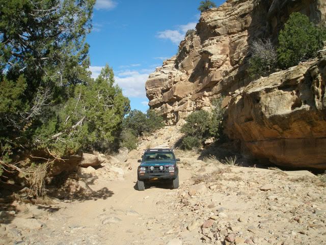
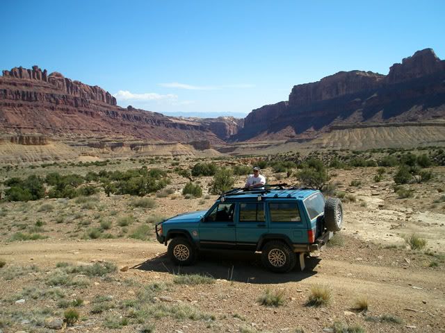
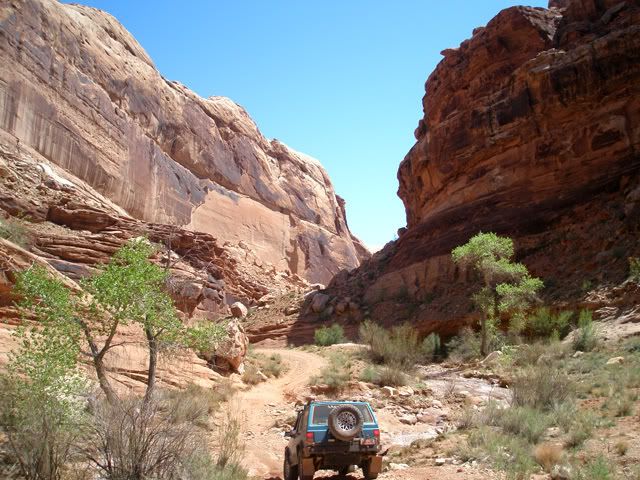
Weekend before last while many were in Moab for EJS I hit the Swell, San Rafael that is. Link to captioned photos taken during a quick Saturday tour of offroad routes along the I-70 corridor.

http://outdoors.webshots.com/album/558671856bARJiE

scenic07srsblkdrgn_01.jpg
 

iceaxe

Backroad Adventurer
Location
Sandy
Come on now, you posted more pics on NAXJA than here ;) Definately looked like a fun trip. Been too long since I've been to the Swell

Are you implying I shouldn't give NAXJA preferential treatment over RME?:D

And they are all in the album anyway, larger versions at that but if your too lazy to click the link...;)

scenic07srseagle_02.jpg
 

brikar

Registered User
I have been into parts of the swell, however I do not recongnize the trail in which those two pictures you posted here were taken from....
 

iceaxe

Backroad Adventurer
Location
Sandy
I have been into parts of the swell, however I do not recongnize the trail in which those two pictures you posted here were taken from....

I chose those photos because of thier ambiguity, a couple of shots I uploaded are dead giveaways for at least one of the trails anyway.
So I like to show less known scenes from trails in the posted photos. And I like to give clue's

Clue #1, the two pictures are from two different trails in the Swell more or less on opposite ends of it on an east to west basis, the second one I posted was from the first trail we drove and vise versa. ;)

Clue #2 We crossed over and under I-70 6 times before noon but on only two overpasses and no real underpasses, then didn't cross I-70 again but later in the day backtracked on I-70 itself to exit where the second overpass used earlier was located. :D

Clue #3
scenic07srsblkdrgn_02.jpg


This one was taken nearing the second trail and camera view is to the East.
And cool I just realized (it's been bugging me) that this shot perhaps shows how trail number two got it's name!

Answers are in the captions on the photo album linked to in my first post.
 

brikar

Registered User
Nice...very nice, I like the clues...

Having have seen the underside of those bridges before I will start unravelling the clues. I believe you must of started at justenseen flats...headed under i-70 and into eagle canyon, thus you have gone under twice relatively quickly. heading up into eagle canyon and taking the 2nd posted photo you arrived at swasseys cabin then back under i-70 a few times, all before noon, as you travel over to black dragon....which having never been there I am guessing using the clue from the east end to the west end. The third posted picture of your pose with the cherokee draws a blank for me...
I may be entirely off track but it was enjoyable....I always lose when playing the game "Clue" by the way...the professor with the cadlestick in the library....
Looks like you had a great time thanks for the posts.:D
 
Top