sixstringsteve
Well-Known Member
- Location
- UT
is that the fin about 9/10 of the way through?

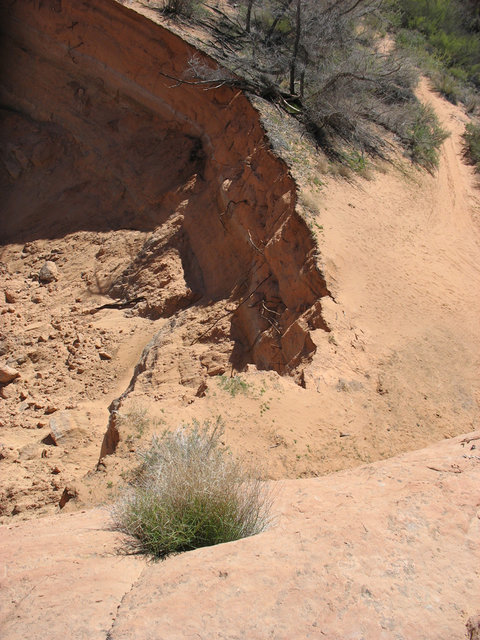
Ok the first photo would be heading in, the first obstacle after the climb up Grey Mesa. This would be your optional left lineView attachment 86196
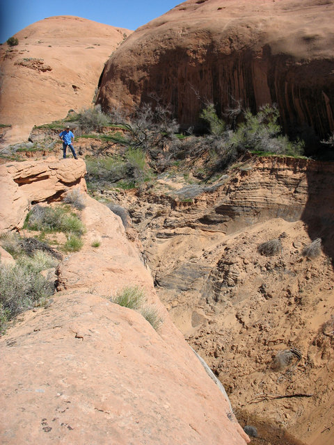
This photo would be the eaxct same location only your right line option. Disregard the direction of travel in photo because we happened to be heading back out when it was taken.
 ( I had owned the truck for about a month)
Beware with snow on the trail it is super hard to know where to go. I headed out early morning after a light snow and had a heck of a time staying on the trail.Is the trail marked well? Buddy of mine and I are talking about doing HITR Trail in about two weeks. I'm sure, as well as the rest of the state, that the weather will be unpredictable. I'll be sure to take pics of the missing section of trail as I drive my fullsize dodge through it lol.
Is the trail marked well? Buddy of mine and I are talking about doing HITR Trail in about two weeks. I'm sure, as well as the rest of the state, that the weather will be unpredictable. I'll be sure to take pics of the missing section of trail as I drive my fullsize dodge through it lol.