- Location
- Never Far From Nowhere
It all started in December. Guiding the few people who decided that after shivering all night during Freeze Your Tail Off 8, braving more cold to drive around the Silver Island Mountains was a good idea. As we skated about on the ice, snow, and mud I thought, “Why don’t I ever come out here when it’s warm?”
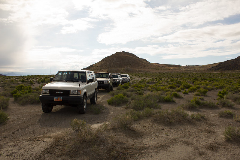
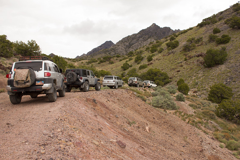
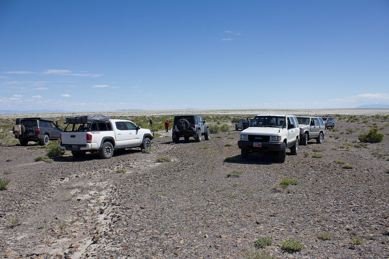
Mid-May, when it is supposed to be warm (though this year has disagreed with that standard) and the Silver Island Mountains Exploration trip got underway. We met at the Speedway Gas Station to top off tanks and grab our last provisions before venturing off into what was, for all intensive purposes, the unknown for many of us. The Silver Island’s, while close to home, are generally not regarded as a destination. To the casual observer, they are surrounded in salt, have no trees, and generally look like a miserable place to visit. After years of touring the loop road post FYTO, I finally did some digging and found that it is crisscrossed with dozens of old roads, mine sites, caves, and all sorts of other points of interest.
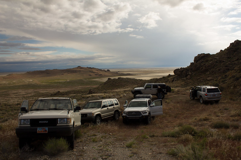
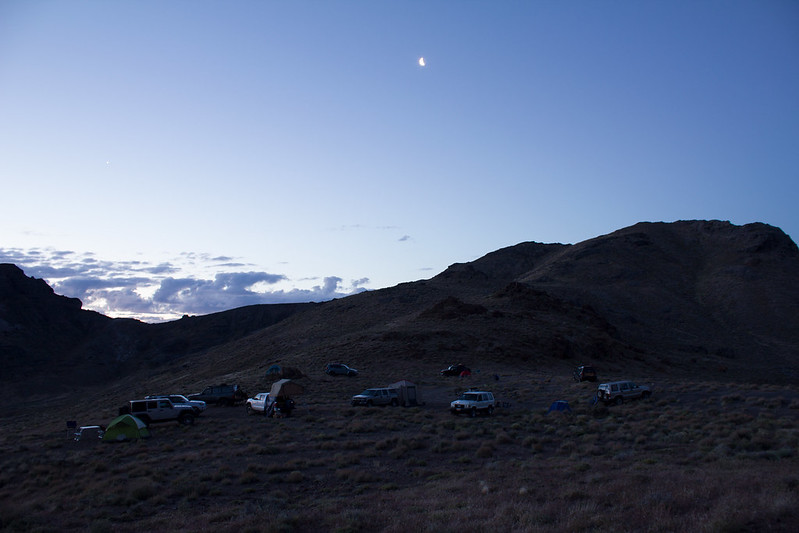
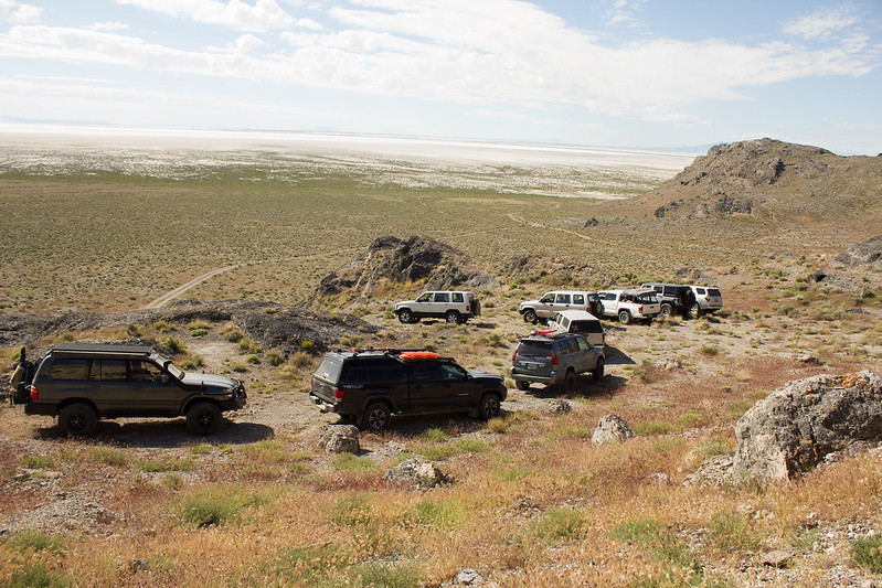
Our first destination on Friday was to find a suitable camp. We wound our way along a barely discernable two-track road up to a saddle between two ridges and were greeted with a fantastic camp spot.
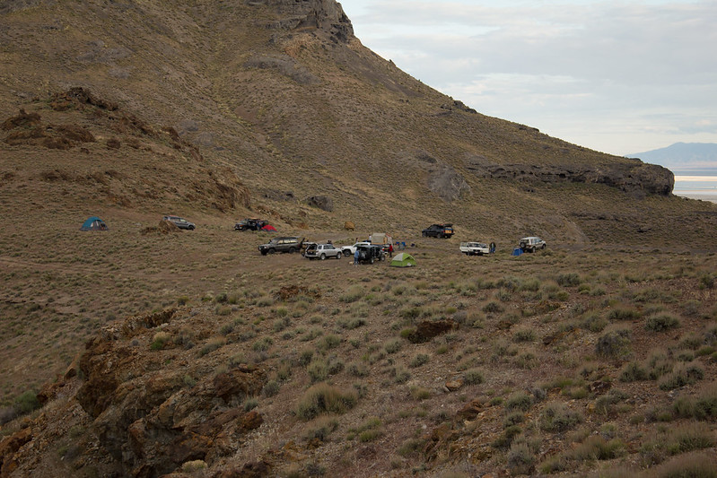
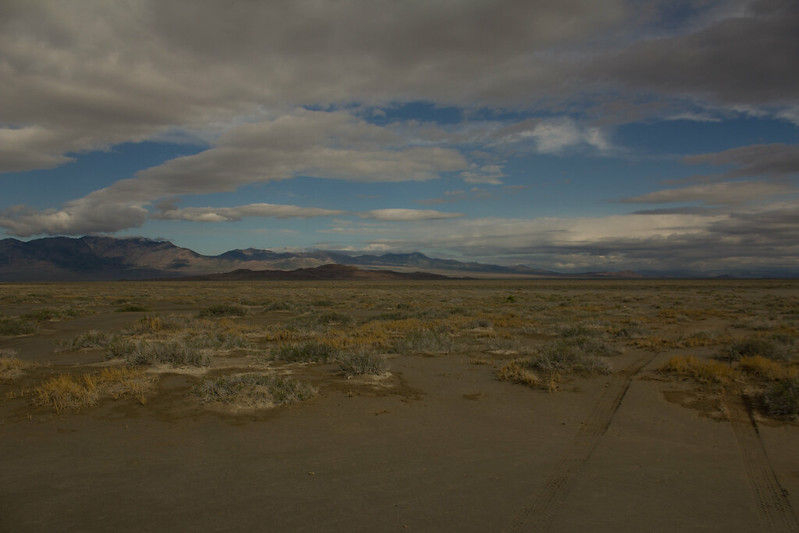
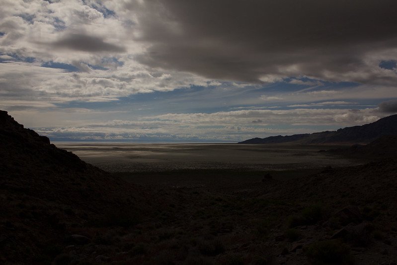
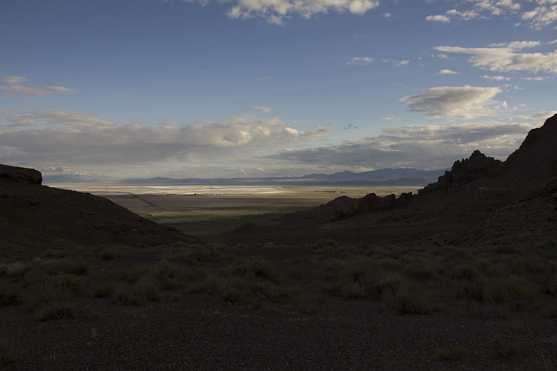
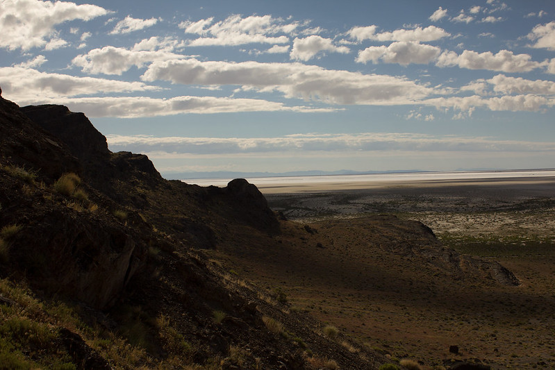
Not only was it a great place to pitch a tent and have a campfire, it also had magnificent views to the south of the Salt Flats and Wendover Airfield.
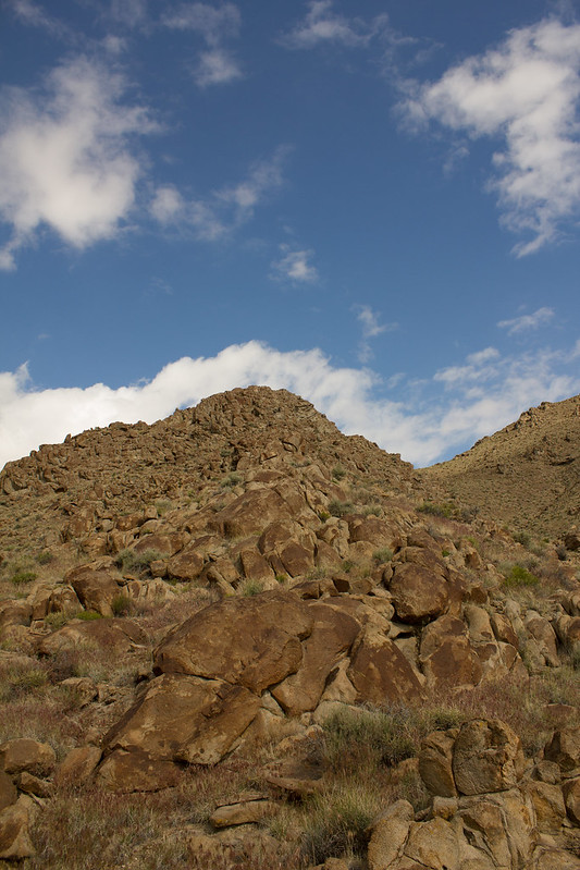
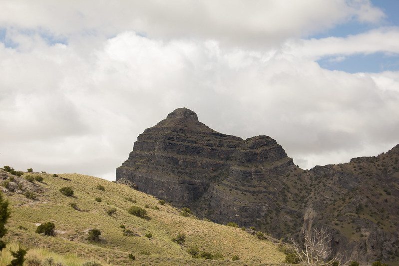
And to the north of the stunning Rishel Peak.
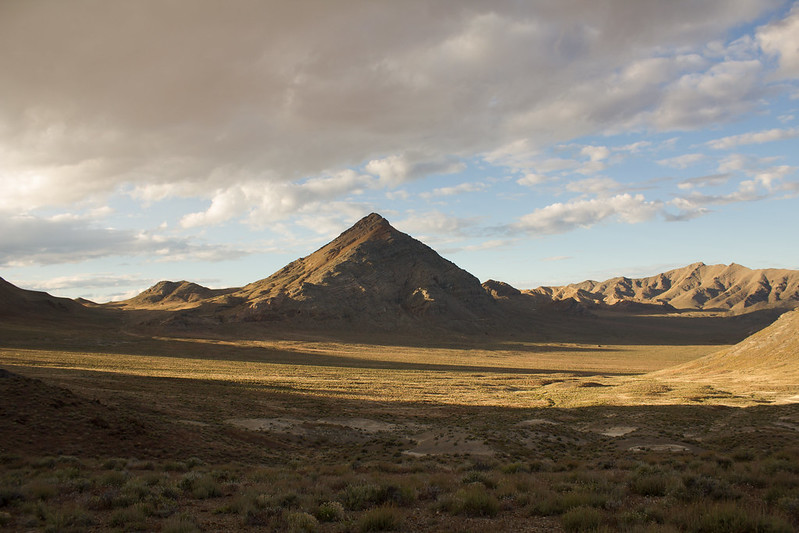
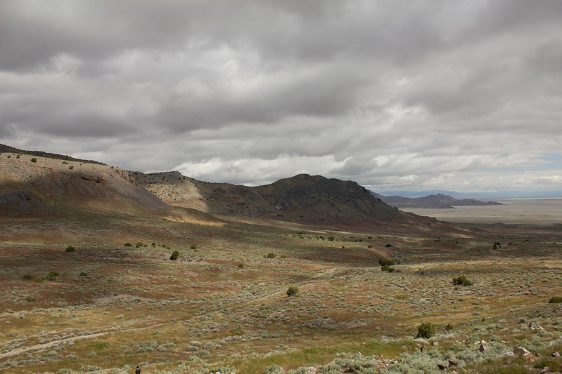
One thing that I noticed right away that was different about other trips around the Silver Island Mountains (aside from the lack of snow), and all the pictures that you find of them, is just how green everything was. It was almost surreal to stand there looking north at Rishel Peak and this lush, green valley spread out in front of it. It almost seemed like it would be fertile land if you didn't know it's true nature. But with all the water we've had this year, it's made the desert bloom in spectacular fashion!
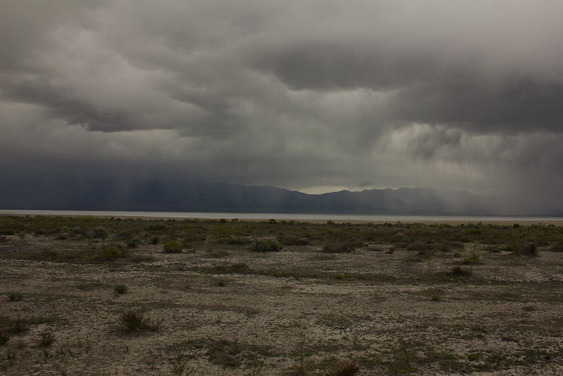
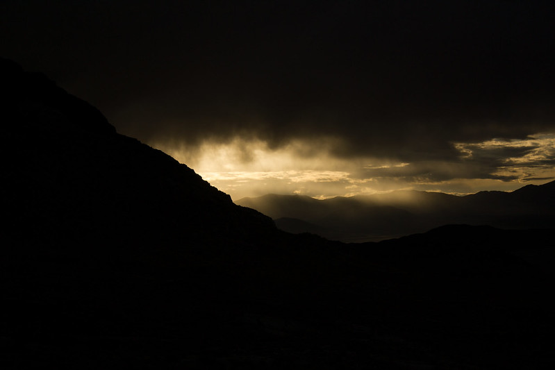
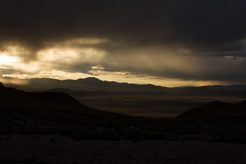
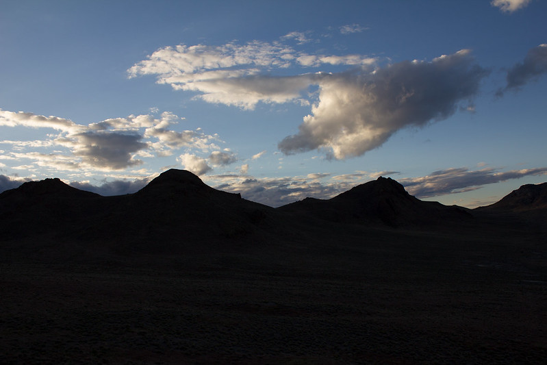
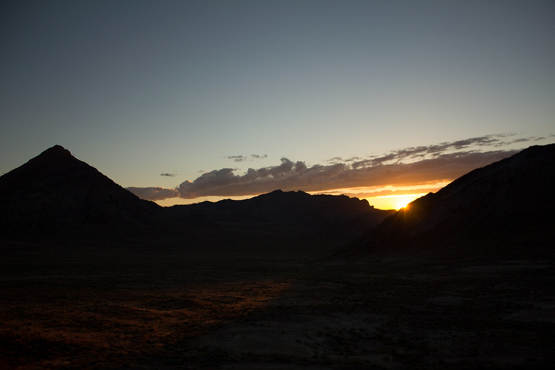
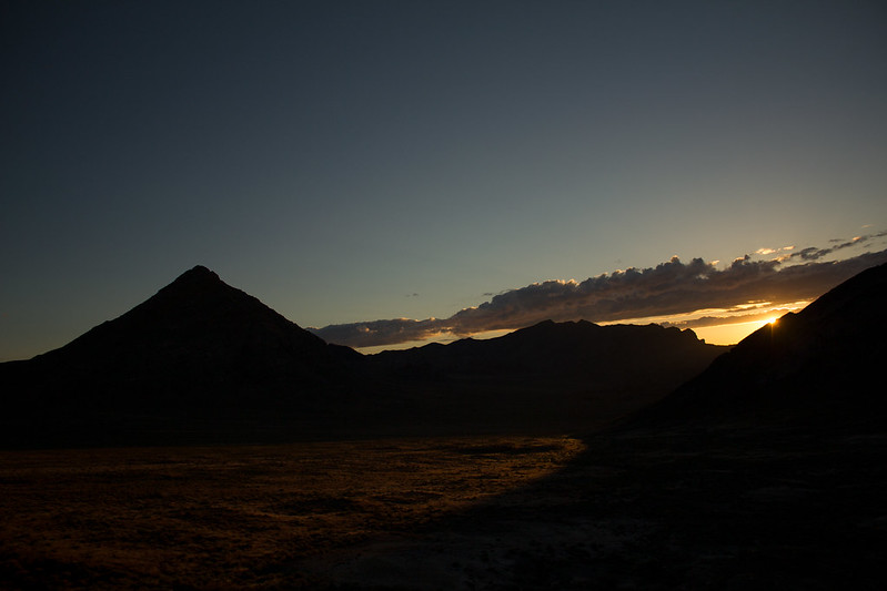
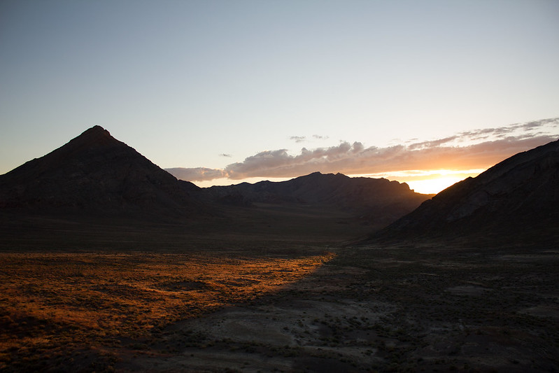
As the light faded we were greeted with beautiful cloud formations floating over us.
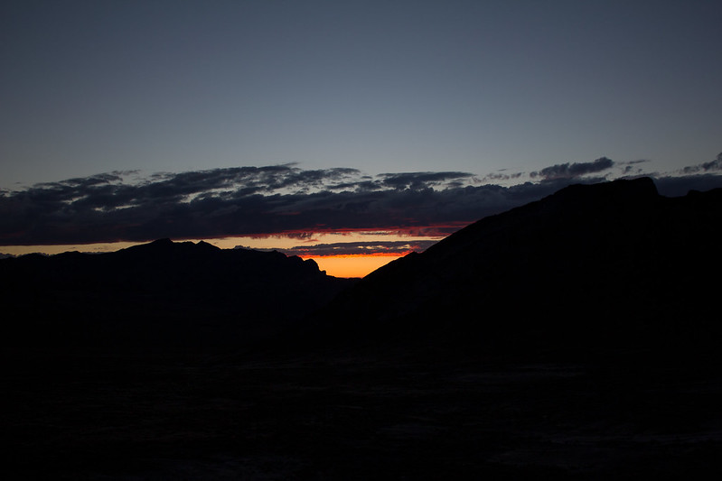
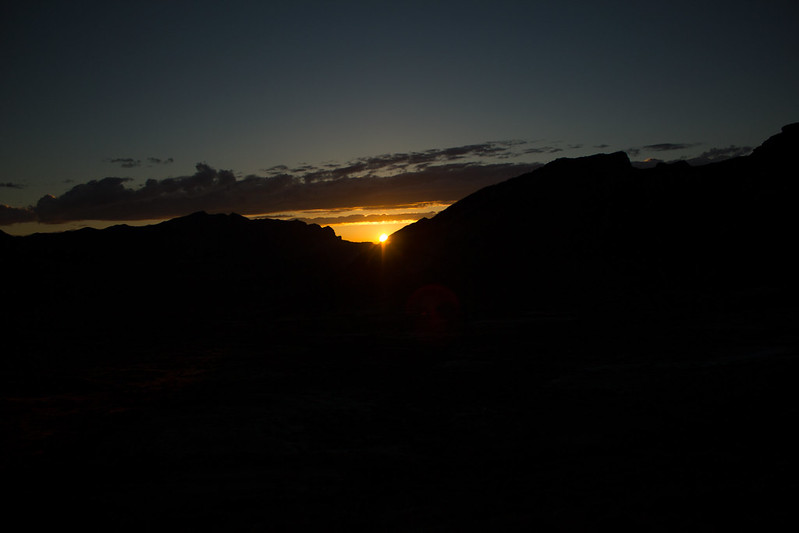
After an enjoyable night around the campfire, I drug myself out of my warm comfortable sleeping bag at 5:15 in the morning (much to Kit's chagrin I'm sure) to catch the sunrise, which was beautiful!
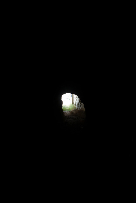
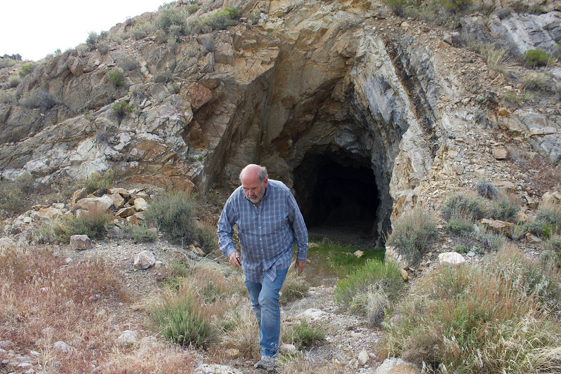
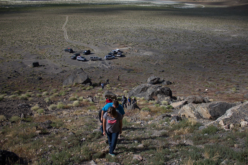
Once the day began for the late risers, we packed up camp and headed out. A short drive and hike later we were at a small cave looking out over the expansive Salt Flats.
The centuries old soot marking the roof of the cave bare evidence to the ancient inhabitants.
One can't help that they chose the cave for the view. Even back then, real estate was all about location, location, location!
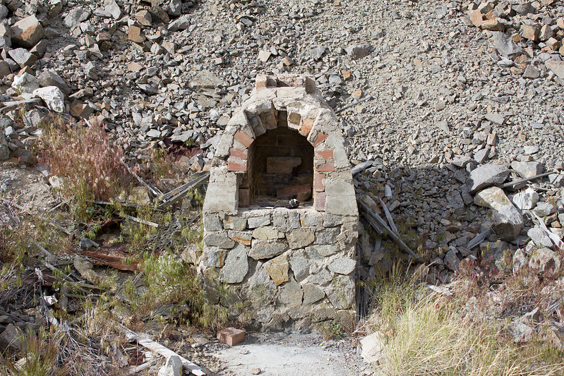
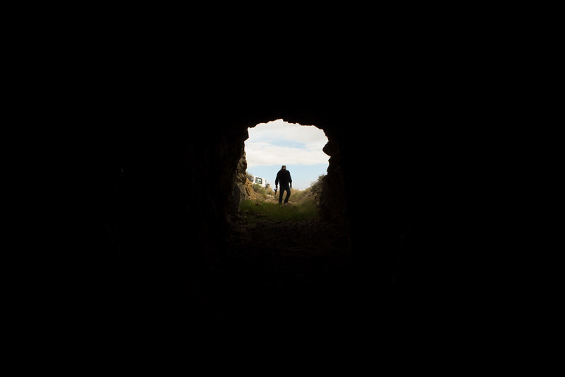
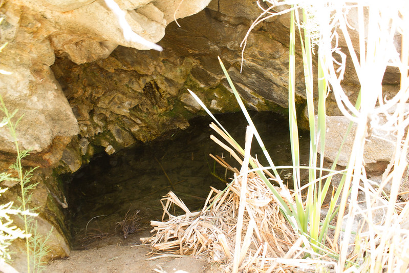
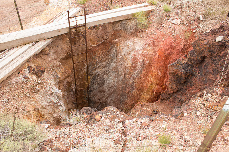
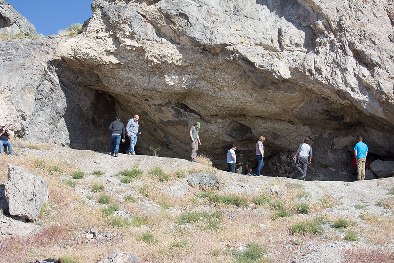
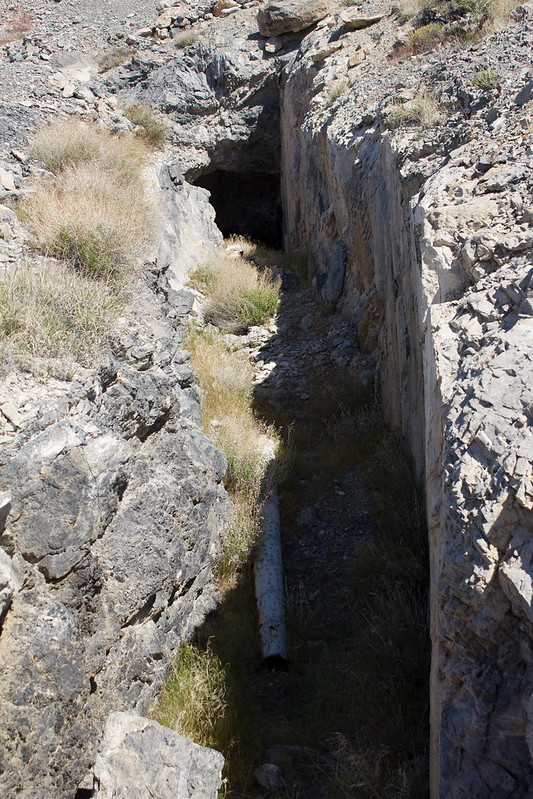
Another short drive later and we were at another cave. This one a bit larger and with a small amount of water dripping in the back.
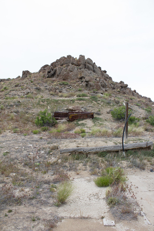
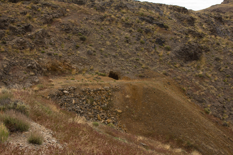
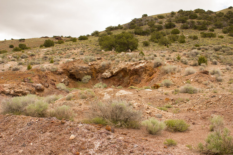
From the second cave we made our way up a faded spur road in the next canyon over which eventually found us at the base of a network of small mines.
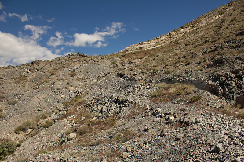
One of the more interesting aspects of these mines was a road that was built up to them. It looked like it was done by hand. Not my idea of a good time in the summer heat, but impressive.
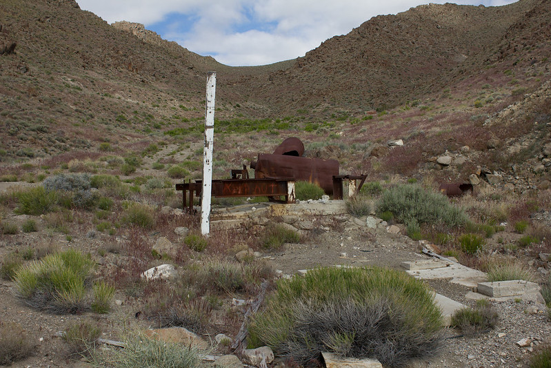
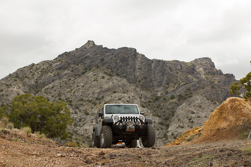
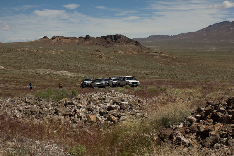
After exploring these mines for a bit we meandered our way to another set of mines at the base of Tetzlaff Peak and enjoyed a relaxing lunch in the cool breeze.
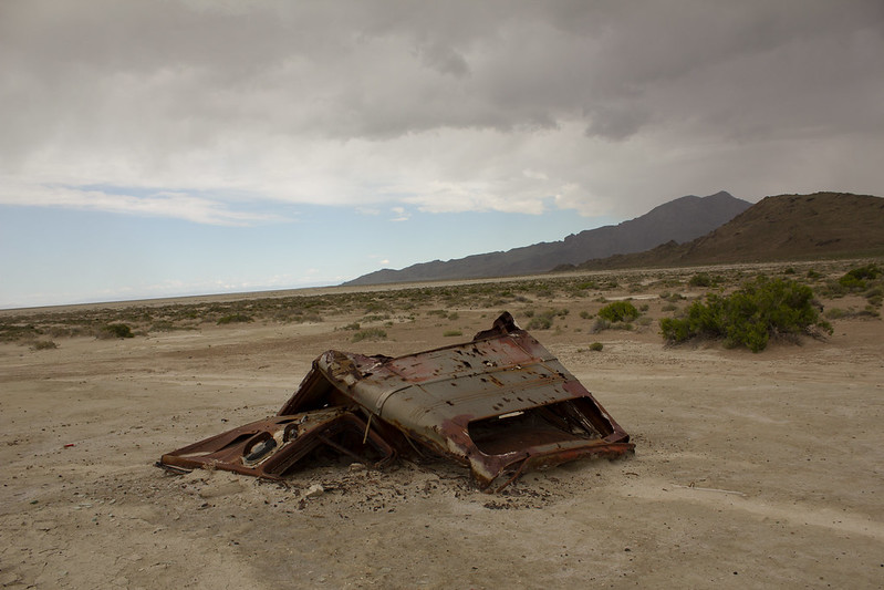
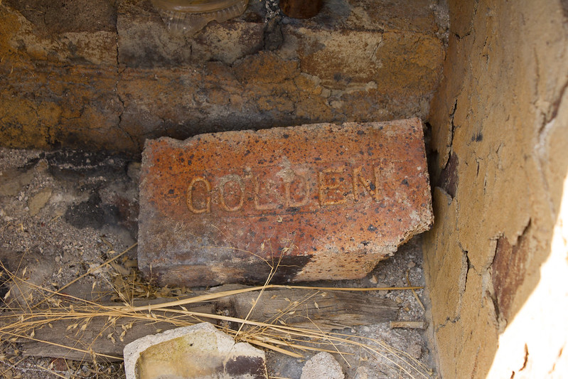
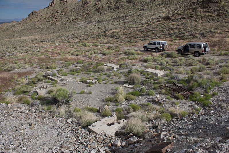
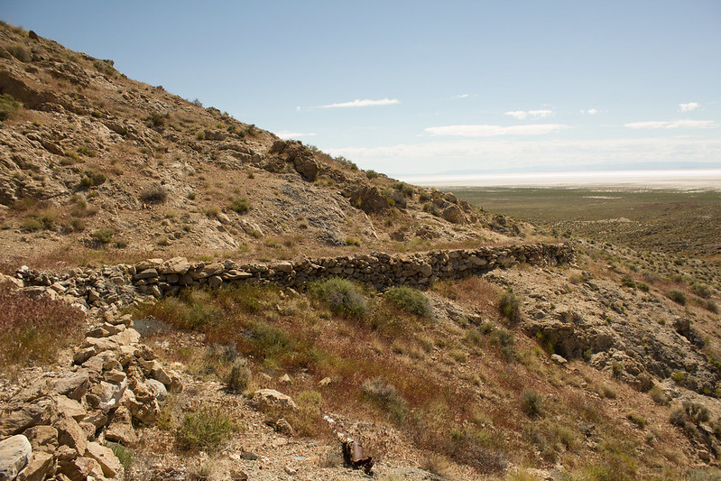
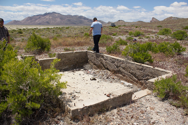
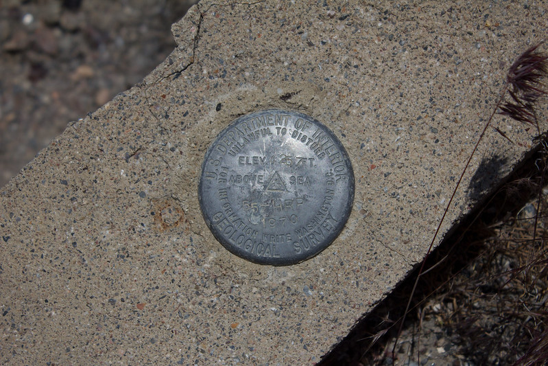
After lunch we started making our way towards the Floating Island Mountain to the south-east. Along the way we came upon a building foundation just off the main loop road. Not sure what it was for. Perhaps an observation point for the Army Air Force out of Wendover during the war? A store house of some sort? Not sure, but in 1970 the USGS thought it was a good spot to place a survey marker.
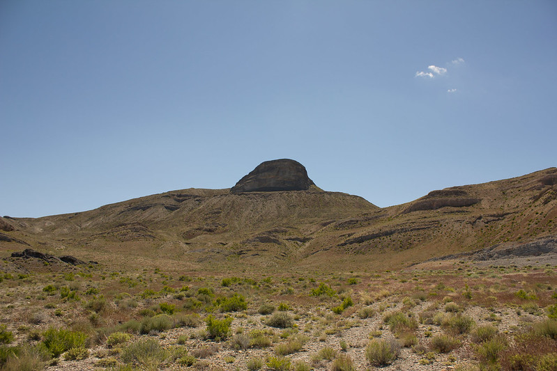
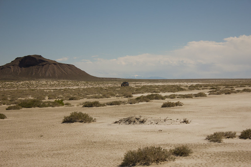
We found our way to the causeway that leads to the Floating Island Mountain and cruised along as it got larger and larger on the horizon. It’s an odd looking mountain with a large rock jutting out of it like a diving platform.
We continued on along the east side of the mountain, skirting the edge of the salt flats until the ring road just seemed to vanish! To the south the road continued along an arrow straight causeway that ultimately ended at I-80, but the route to the west that showed on our maps was gone from what appeared to be the quarrying efforts to construct the causeway!
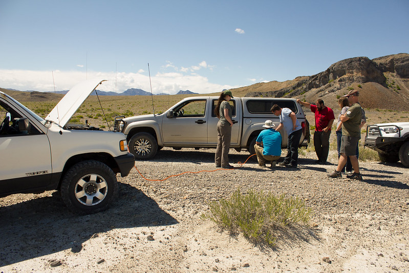
But with the map saying it was there and that it ultimately led us back to where we began, we embarked upon some cross country travel. Picking our way through the brush and loose rocks. Unfortunately for Brian in his Colorado, this meant a puncture to the sidewall of one of his tires. But with a quick patch and some air, he was back on his way shortly.
Eventually we made our way to the west side of the mountain and were confronted with the vast expanse of mud flats near the end of the Bonneville Speedway. Hard and flat, we did our best to imitate the racers and sped our way back to the causeway that led us in.
Mid-May, when it is supposed to be warm (though this year has disagreed with that standard) and the Silver Island Mountains Exploration trip got underway. We met at the Speedway Gas Station to top off tanks and grab our last provisions before venturing off into what was, for all intensive purposes, the unknown for many of us. The Silver Island’s, while close to home, are generally not regarded as a destination. To the casual observer, they are surrounded in salt, have no trees, and generally look like a miserable place to visit. After years of touring the loop road post FYTO, I finally did some digging and found that it is crisscrossed with dozens of old roads, mine sites, caves, and all sorts of other points of interest.
Our first destination on Friday was to find a suitable camp. We wound our way along a barely discernable two-track road up to a saddle between two ridges and were greeted with a fantastic camp spot.
Not only was it a great place to pitch a tent and have a campfire, it also had magnificent views to the south of the Salt Flats and Wendover Airfield.
And to the north of the stunning Rishel Peak.
One thing that I noticed right away that was different about other trips around the Silver Island Mountains (aside from the lack of snow), and all the pictures that you find of them, is just how green everything was. It was almost surreal to stand there looking north at Rishel Peak and this lush, green valley spread out in front of it. It almost seemed like it would be fertile land if you didn't know it's true nature. But with all the water we've had this year, it's made the desert bloom in spectacular fashion!
As the light faded we were greeted with beautiful cloud formations floating over us.
After an enjoyable night around the campfire, I drug myself out of my warm comfortable sleeping bag at 5:15 in the morning (much to Kit's chagrin I'm sure) to catch the sunrise, which was beautiful!
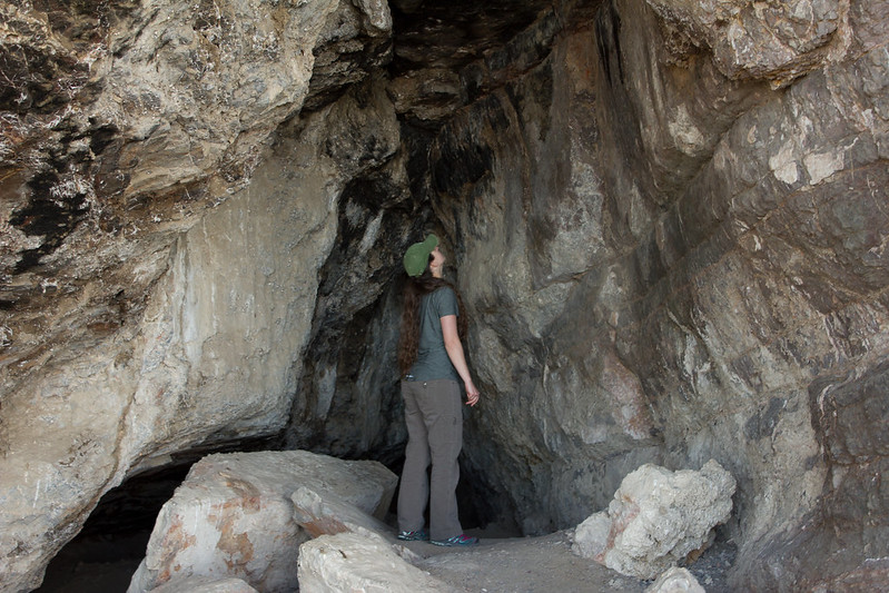
Once the day began for the late risers, we packed up camp and headed out. A short drive and hike later we were at a small cave looking out over the expansive Salt Flats.
The centuries old soot marking the roof of the cave bare evidence to the ancient inhabitants.
One can't help that they chose the cave for the view. Even back then, real estate was all about location, location, location!
Another short drive later and we were at another cave. This one a bit larger and with a small amount of water dripping in the back.
From the second cave we made our way up a faded spur road in the next canyon over which eventually found us at the base of a network of small mines.
One of the more interesting aspects of these mines was a road that was built up to them. It looked like it was done by hand. Not my idea of a good time in the summer heat, but impressive.
After exploring these mines for a bit we meandered our way to another set of mines at the base of Tetzlaff Peak and enjoyed a relaxing lunch in the cool breeze.
After lunch we started making our way towards the Floating Island Mountain to the south-east. Along the way we came upon a building foundation just off the main loop road. Not sure what it was for. Perhaps an observation point for the Army Air Force out of Wendover during the war? A store house of some sort? Not sure, but in 1970 the USGS thought it was a good spot to place a survey marker.
We found our way to the causeway that leads to the Floating Island Mountain and cruised along as it got larger and larger on the horizon. It’s an odd looking mountain with a large rock jutting out of it like a diving platform.
We continued on along the east side of the mountain, skirting the edge of the salt flats until the ring road just seemed to vanish! To the south the road continued along an arrow straight causeway that ultimately ended at I-80, but the route to the west that showed on our maps was gone from what appeared to be the quarrying efforts to construct the causeway!
But with the map saying it was there and that it ultimately led us back to where we began, we embarked upon some cross country travel. Picking our way through the brush and loose rocks. Unfortunately for Brian in his Colorado, this meant a puncture to the sidewall of one of his tires. But with a quick patch and some air, he was back on his way shortly.
Eventually we made our way to the west side of the mountain and were confronted with the vast expanse of mud flats near the end of the Bonneville Speedway. Hard and flat, we did our best to imitate the racers and sped our way back to the causeway that led us in.