
DAA
Well-Known Member
- Location
- West Bountiful, UT
Cabin fever is getting to me bad... And I know I'm far from alone. I posted this on ExpUt a couple of weeks ago, but not everyone on RME gets over there, and it was my last normal experience before the virus took over. Hard to believe this was only five or six weeks ago? Anyway, trip report for y'all that might enjoy it...
The Idea
A simple idea, I think Kevin first floated it, drive from the three corners (UT, AZ, NV) to the four corners (UT, CO, NM, AZ). As much of it on dirt as possible.
With a time limit, of course. Eric and I were only able to get away for five days total, so, we had five days to get from Salt Lake, to the three corners, to the four corners, and back to Salt Lake.
And with a slight twist. No route planning ahead of time. We were just going to get to the three corners and wing it from there. Figuring out as we went, how to get in as much dirt as possible, and preferably make it to four corners sometime before the end of the fourth day.
Day One, SLC To Three Corners And Beyond
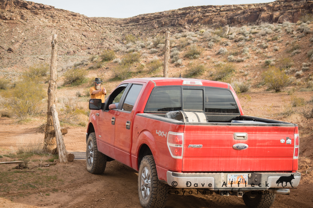
The three of us, me, Eric and Kevin, met at Eric's house at a fashionably late hour on Wed. morning – about 7am. Then we started the convoy south, Kevin in his Excursion, Eric in his F150, me in my LJ.
St. George To Three Corners
We topped off the tanks in St. George and headed out of town and through the Beaver Dam Mountains for Beaver Dam Wash. With a bit of route finding to cross the wash and choosing the less traveled fork heading generally south we arrived at the Three Corners Monument around noonish.
Three Corners Flags
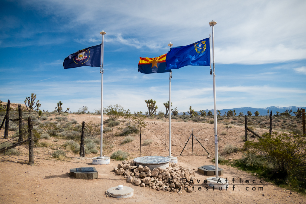
Three Corners Monument
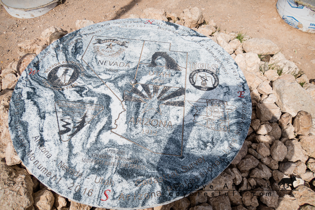
Somewhat surprised to find it fairly crowded on a Wed. afternoon in early March, we didn't hang around long. We headed further south and then east for Beaver Dam.
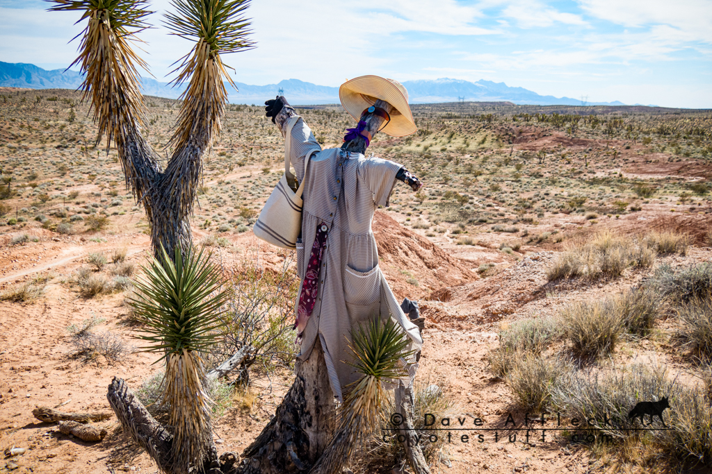
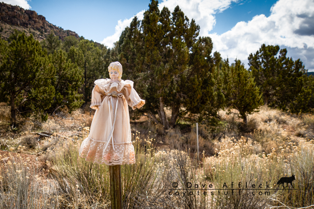
Scarecrow in a Joshua tree
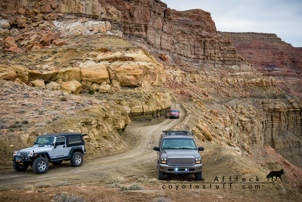
Cedar Pockets to Lizard Wash
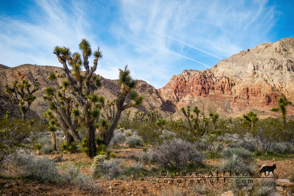
At Beaver Dam we consulted our maps and the magic 8 ball and decided to escape pavement by taking the Cedar Pockets road back over the Beaver Dam Mountains. A good call! The scenery in Cedar Pockets was great.
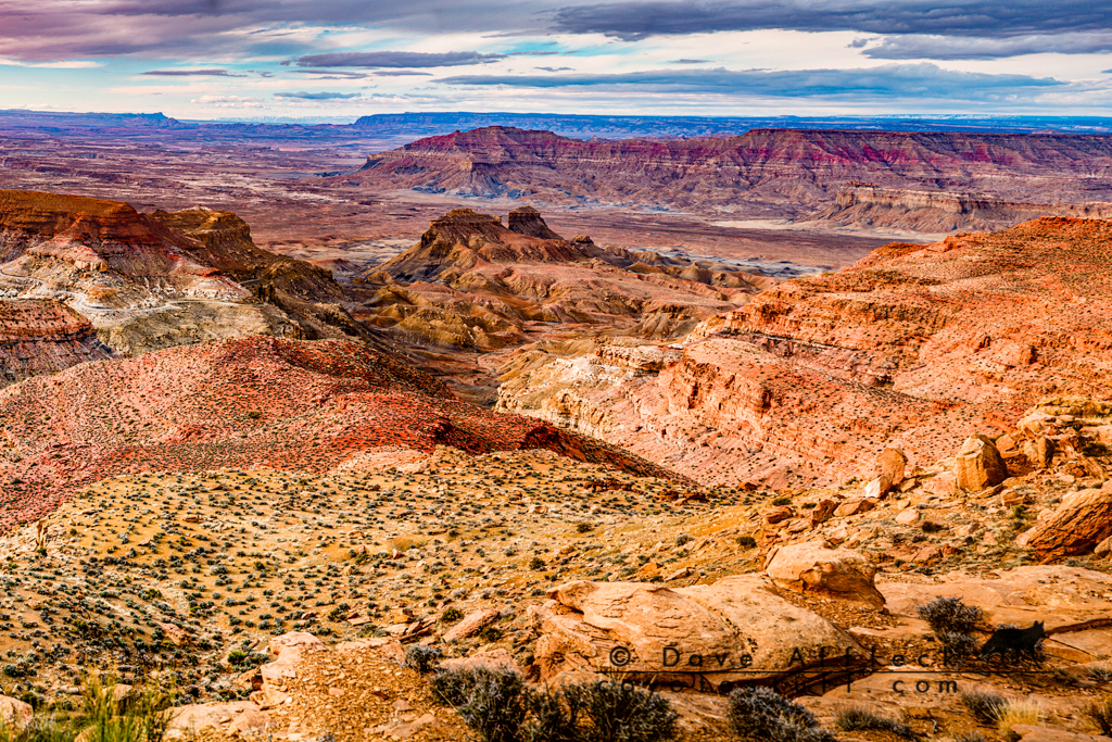
Beaver Dam Mountains
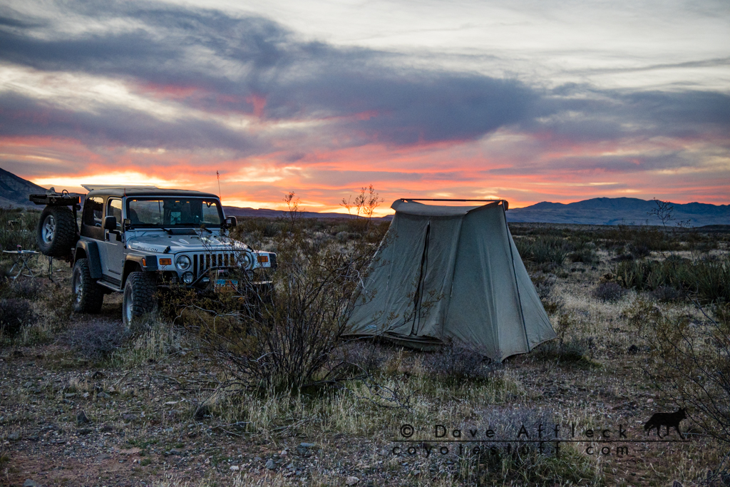
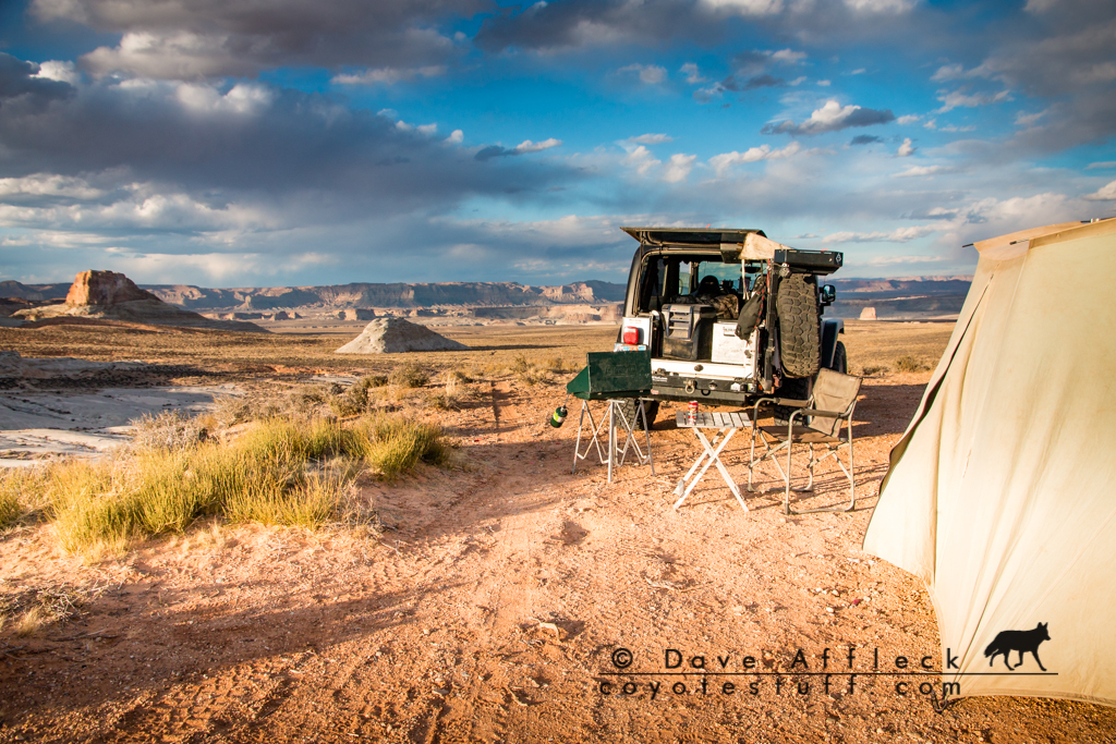
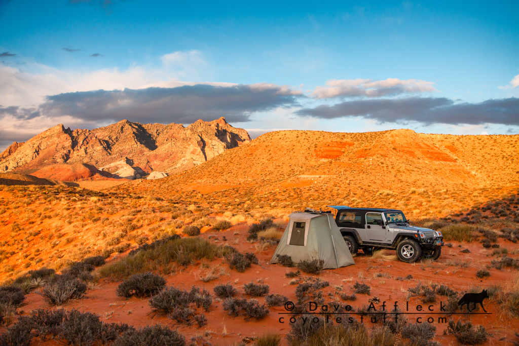
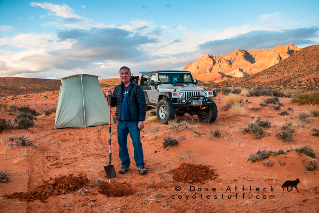
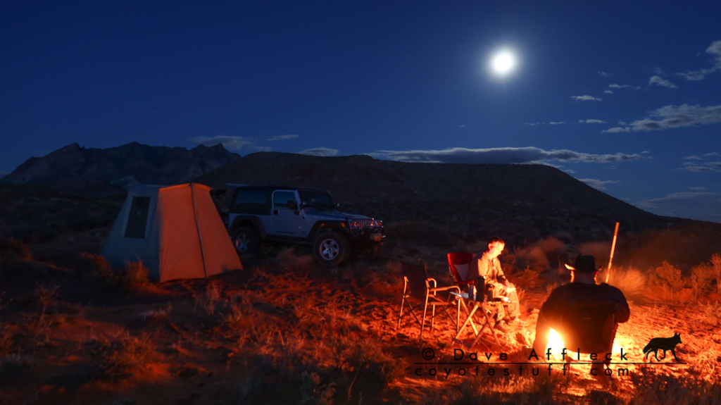
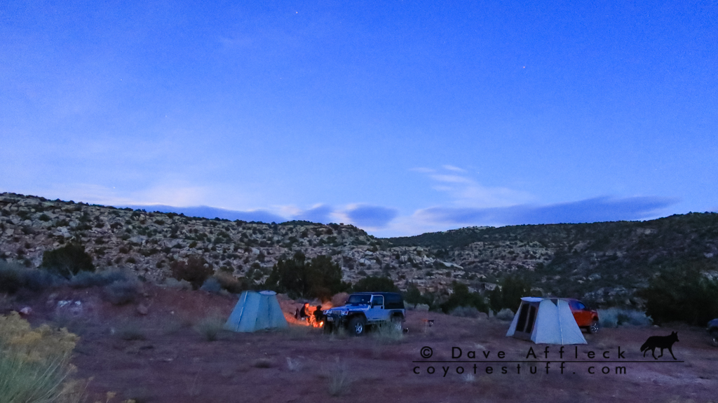
When we hit I-15 again, we pounded pavement north about ten miles to the first dirt that looked like it would get us some distance east, at Black Knolls. Getting late, once a respectable distance from the interstate, we took a random mostly flat spot on the side of the trail to camp for the night.
Camp in Big Valley
- DAA
The Idea
A simple idea, I think Kevin first floated it, drive from the three corners (UT, AZ, NV) to the four corners (UT, CO, NM, AZ). As much of it on dirt as possible.
With a time limit, of course. Eric and I were only able to get away for five days total, so, we had five days to get from Salt Lake, to the three corners, to the four corners, and back to Salt Lake.
And with a slight twist. No route planning ahead of time. We were just going to get to the three corners and wing it from there. Figuring out as we went, how to get in as much dirt as possible, and preferably make it to four corners sometime before the end of the fourth day.
Day One, SLC To Three Corners And Beyond
The three of us, me, Eric and Kevin, met at Eric's house at a fashionably late hour on Wed. morning – about 7am. Then we started the convoy south, Kevin in his Excursion, Eric in his F150, me in my LJ.
St. George To Three Corners
We topped off the tanks in St. George and headed out of town and through the Beaver Dam Mountains for Beaver Dam Wash. With a bit of route finding to cross the wash and choosing the less traveled fork heading generally south we arrived at the Three Corners Monument around noonish.
Three Corners Flags
Three Corners Monument
Somewhat surprised to find it fairly crowded on a Wed. afternoon in early March, we didn't hang around long. We headed further south and then east for Beaver Dam.
Scarecrow in a Joshua tree
Cedar Pockets to Lizard Wash
At Beaver Dam we consulted our maps and the magic 8 ball and decided to escape pavement by taking the Cedar Pockets road back over the Beaver Dam Mountains. A good call! The scenery in Cedar Pockets was great.
Beaver Dam Mountains
When we hit I-15 again, we pounded pavement north about ten miles to the first dirt that looked like it would get us some distance east, at Black Knolls. Getting late, once a respectable distance from the interstate, we took a random mostly flat spot on the side of the trail to camp for the night.
Camp in Big Valley
- DAA


 .
.