
sixstringsteve
Well-Known Member
- Location
- UT
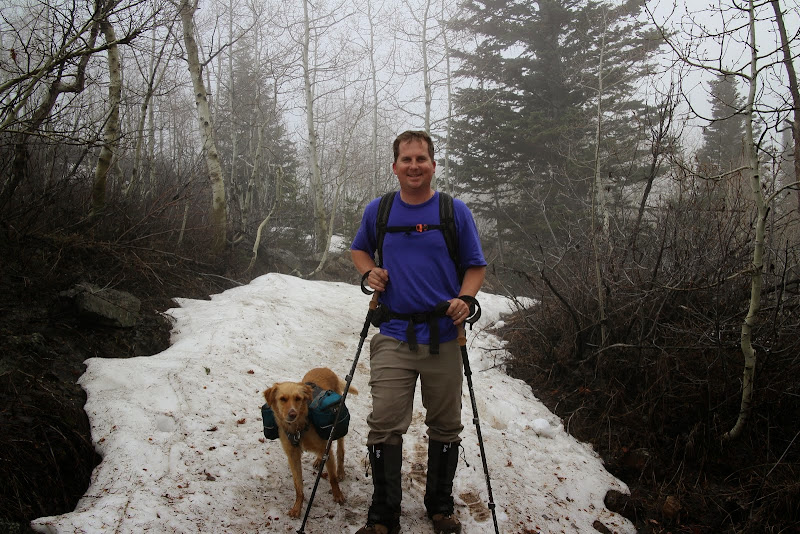
My wife and I were needing a quick getaway. Our dog Fender hasn't been able to come on our past 4 or 5 trips due to restrictions on dogs, and he was needing a good camping trip as well. We tried to hike this loop last week, but we didn't make it in time.
Since we didn't make it the week before, we wanted revenge, and we decided to make an overnighter of it.
Friday evening before we left, it started to rain. We were questioning if we still wanted to go, and with it being memorial day weekend we knew it was going to be crazy busy up the canyon. But then we realized that the rain would scare away quite a few of the fair-weather campers. If rain scared us, we'd never be able to enjoy the Uintas or the Winds. As long as trail conditions weren't sloppy, and as long as we weren't in danger of thunderstorms, we weren't going to be deterred by rain.
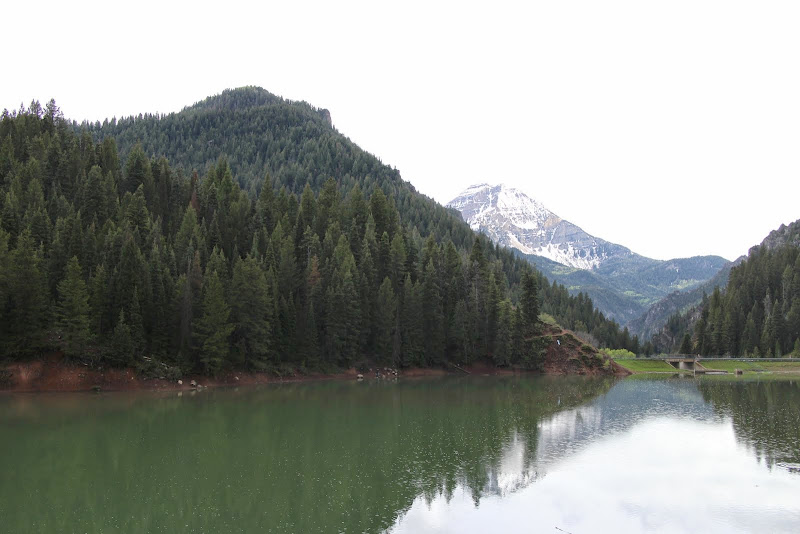
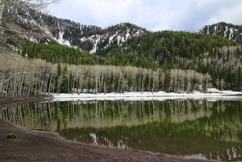
We packed up our packs and headed to Tibble Fork to park the car. It was lightly sprinkling, as you can see the ripples on the lake.
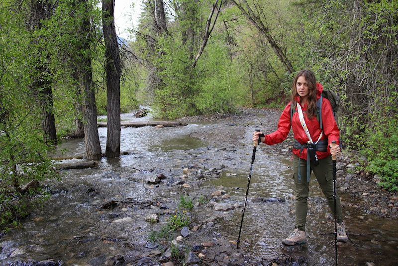
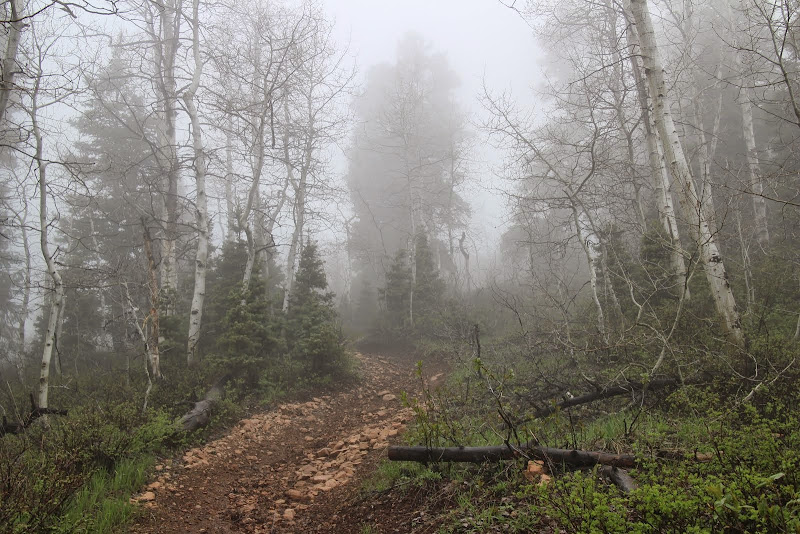
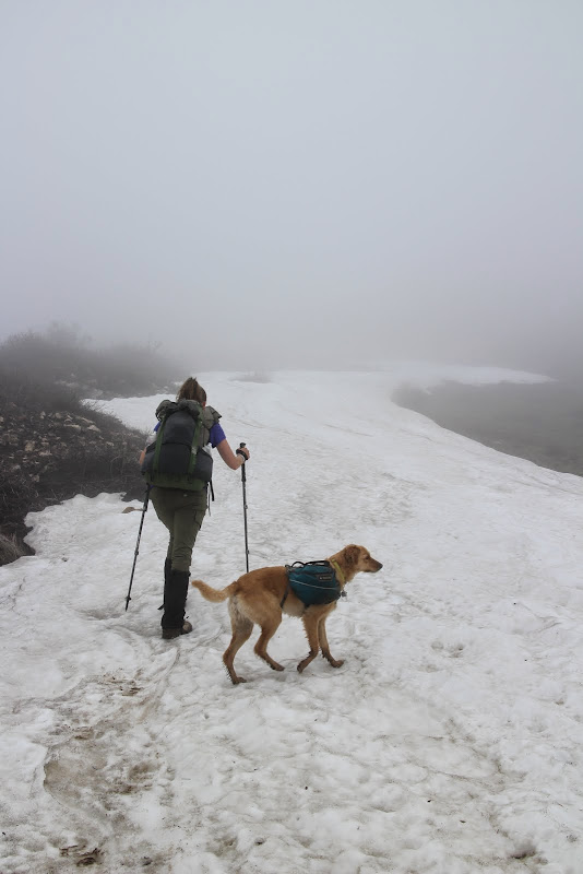
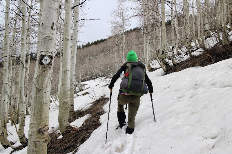
We hiked a short bit up the fire road and crossed the bridge to start trail 40. The Forest Service removed the yellow provisional sign they had up last week, so the trail is now open to horses, mountain bikes, and dirt bikes, in addition to hikers. The river was overflowing with runoff.
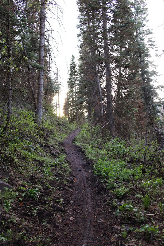
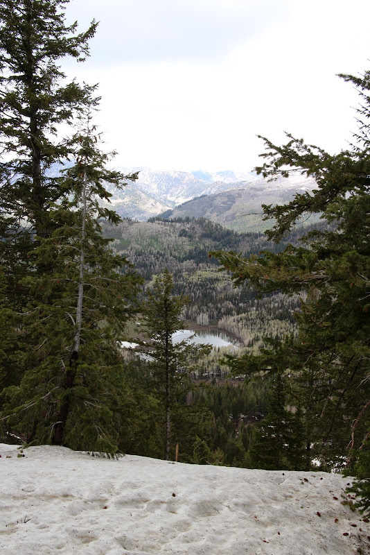
Rounding the corner and heading up the hill, the rain had completely stopped. The trail was lightly damp, but not muddy at all. It looked like one mountain biker had been up there before us that day.
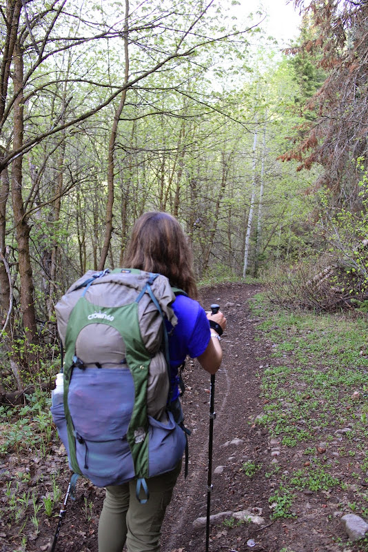
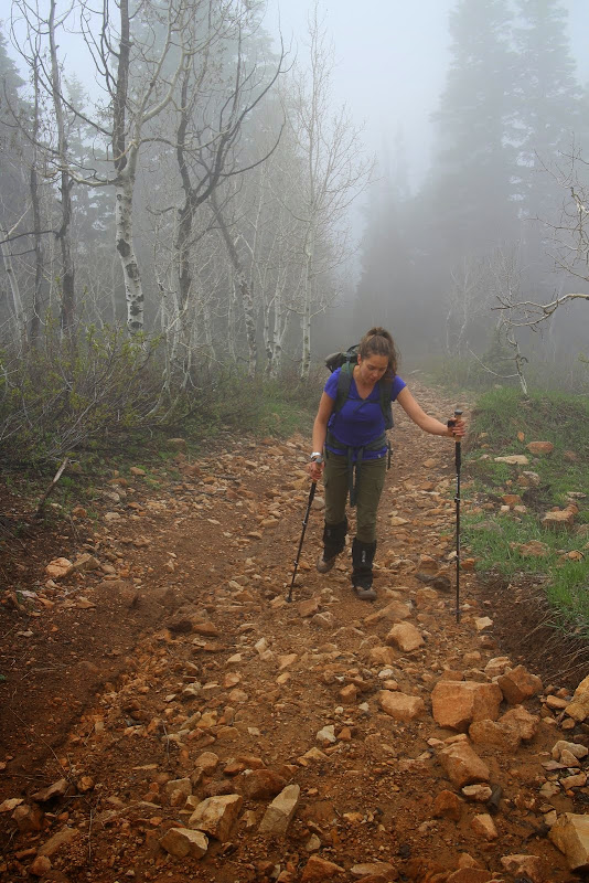
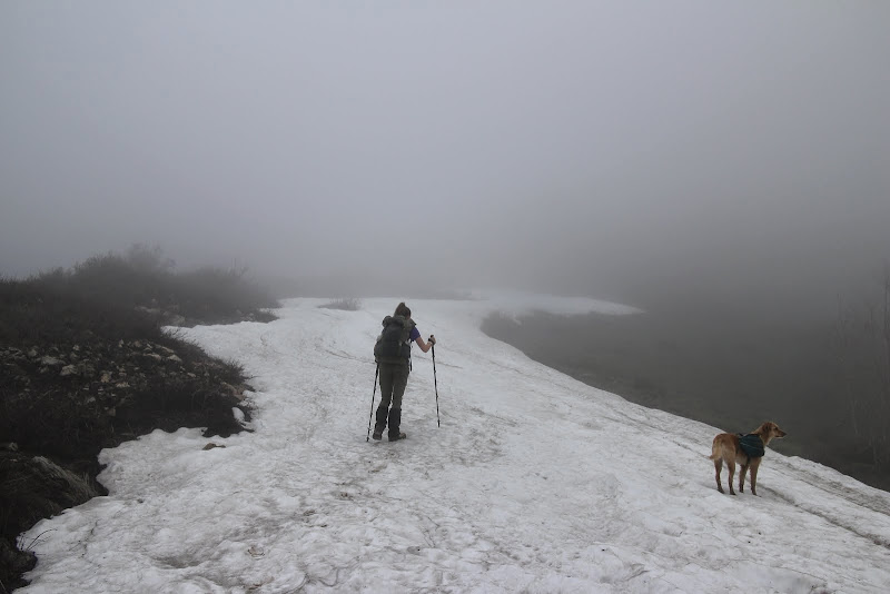
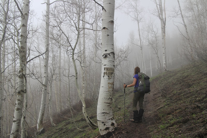
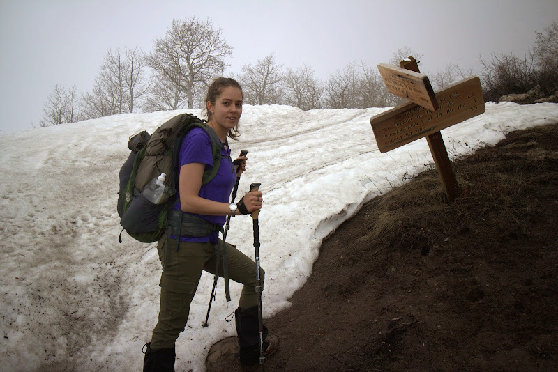
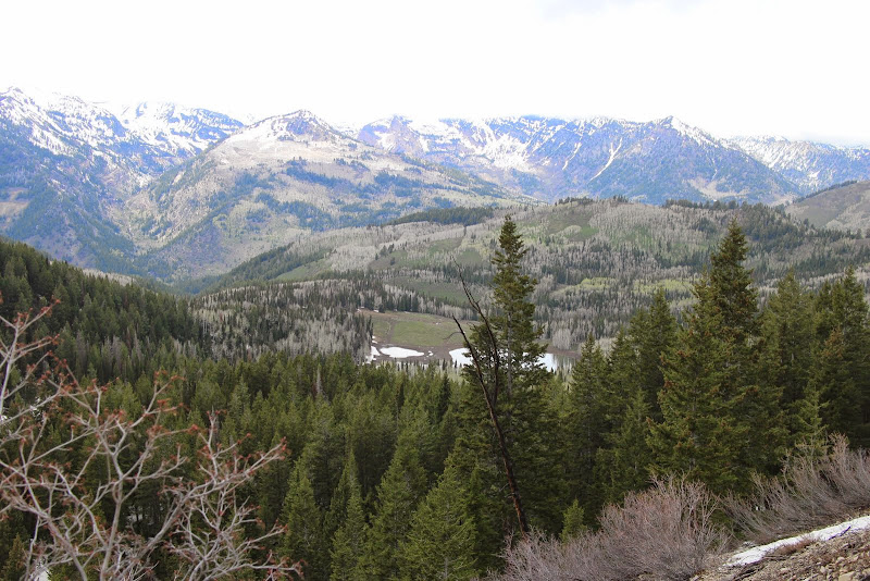
Soon we found ourselves at the junction of 40 and Holman Flat. This is where the switchbacks begin. Last week the trees were asleep and didn't have many leaves. This week was the exact opposite: super green and leafy. Last week they were still asleep.
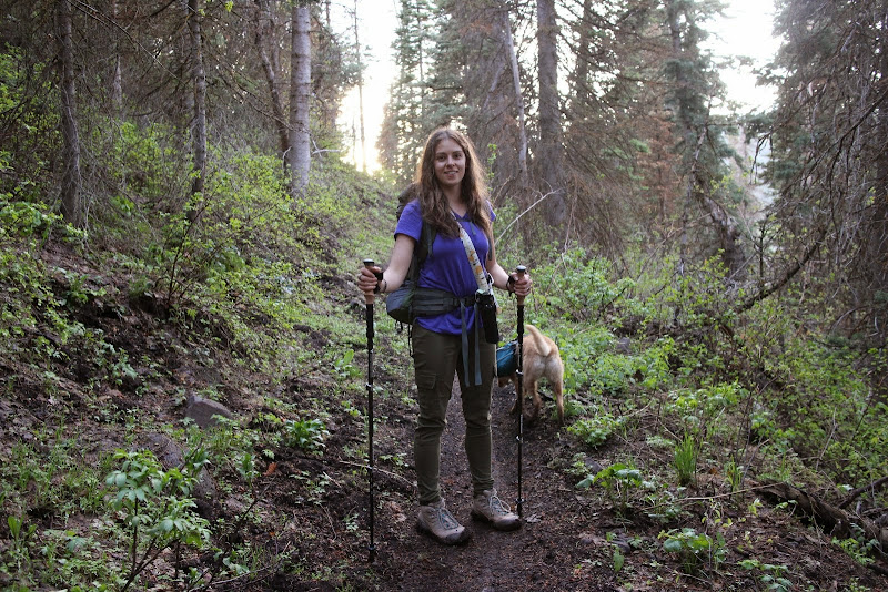
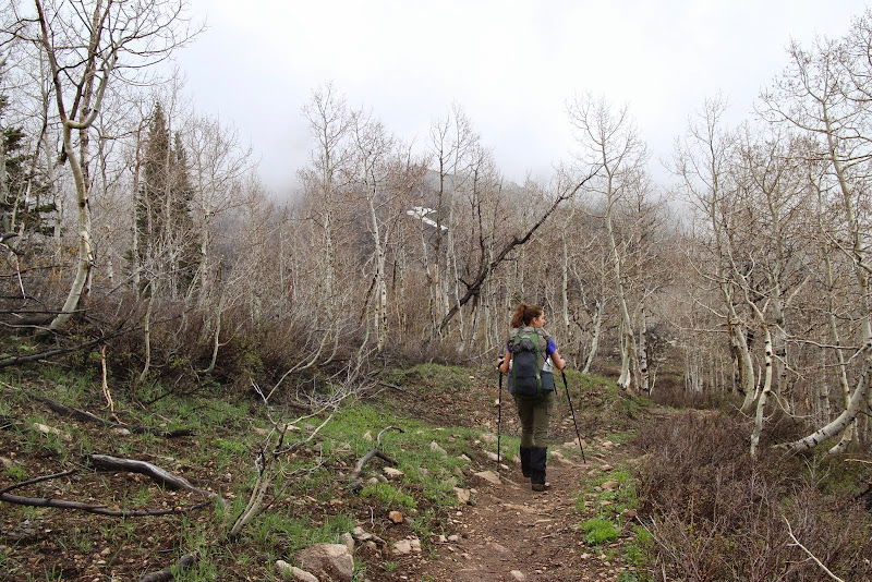
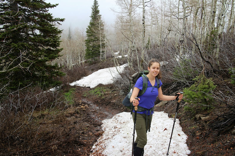
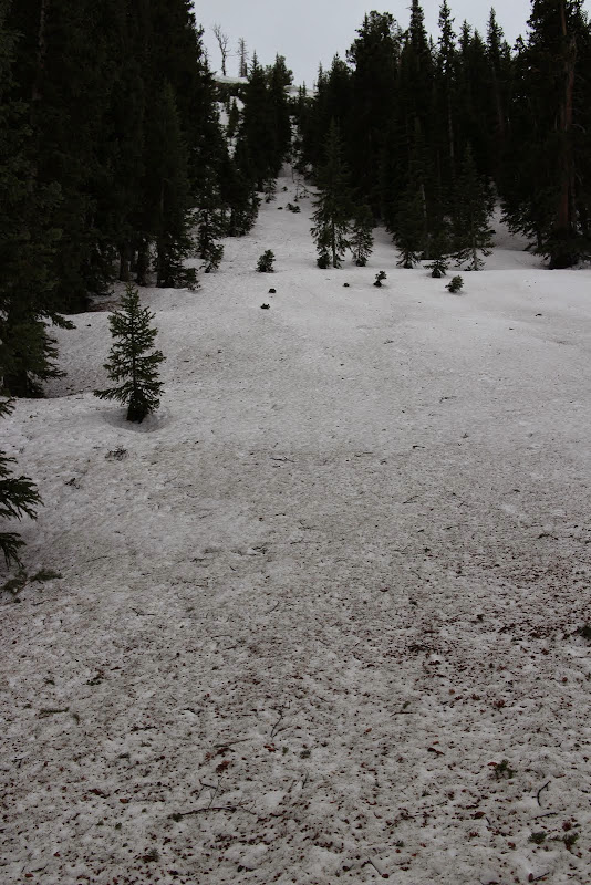
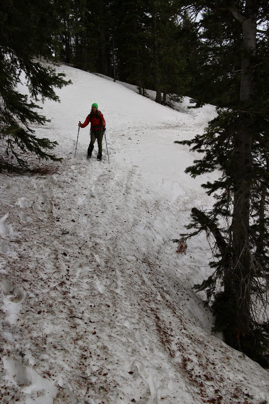
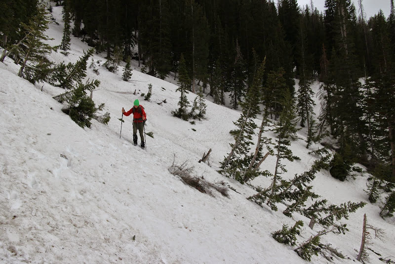
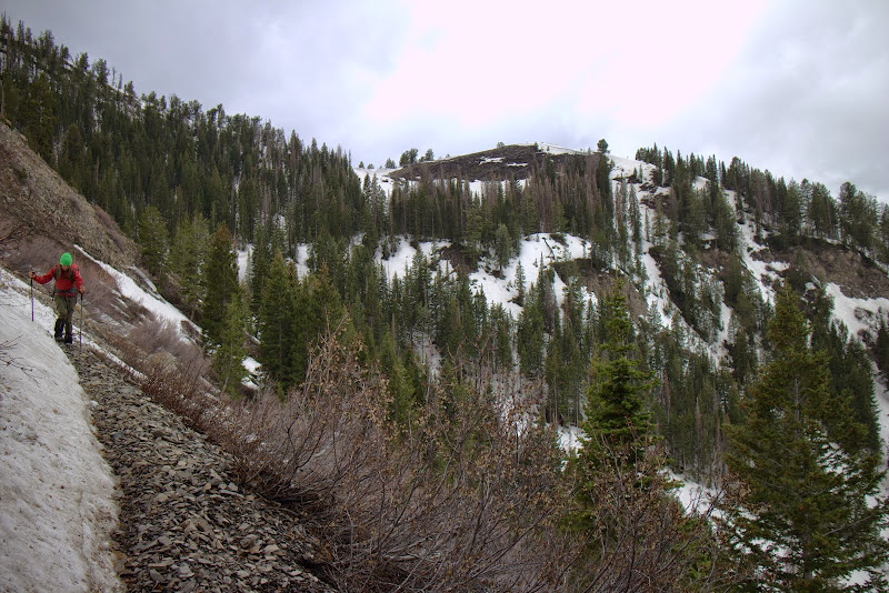
In contrast to last week, there were only one or two tiny patches of snow on the trail. The forest service had been through and cut all the fallen trees, and it was easy going. However, with all the snow patches that had melted in the past year, the ground was pretty soggy. We were conscious of whether or not we were doing trail damage. While our boots were getting muddy on the bottom, and you could see our footprints, we weren't doing any damage to the trail or leaving big impressions. So we continued on. Side note: a horse or dirt bike would destroy the trail under these conditions. Give it a week or so and it should dry out nicely.
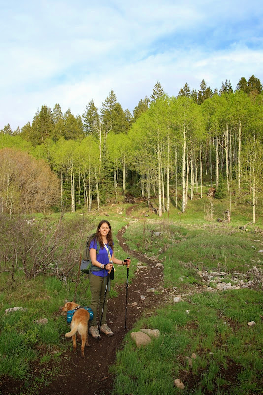
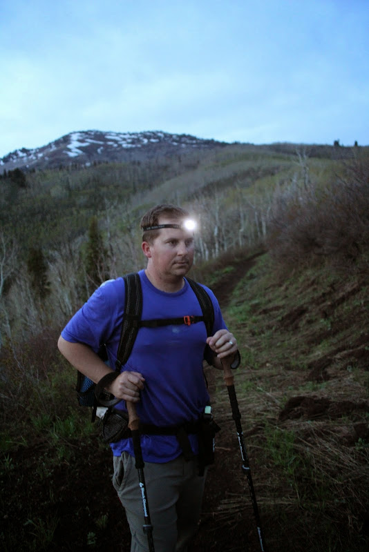
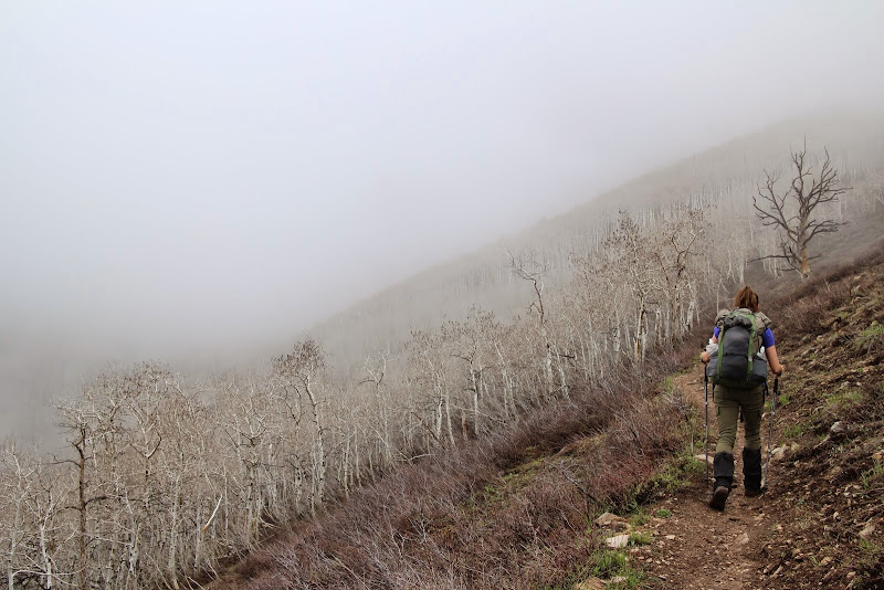
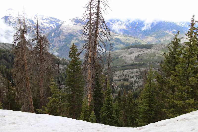
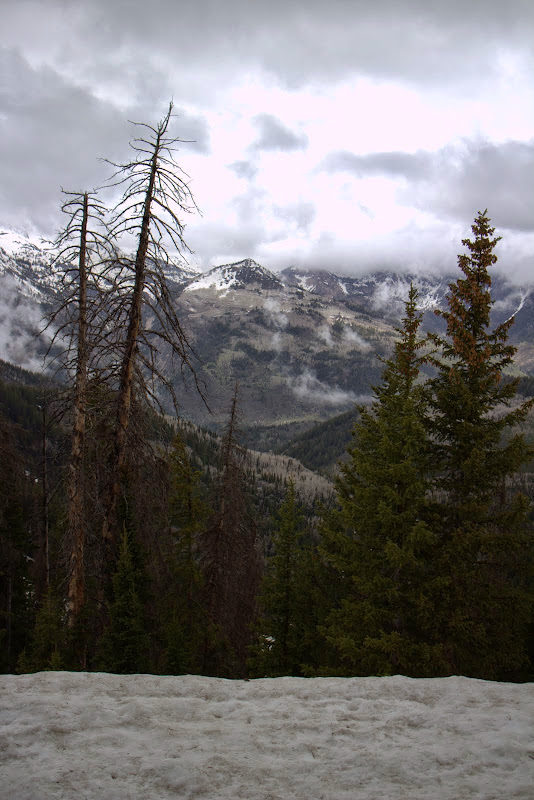
It's amazing how many of these switchbacks there are. When you're on a dirt bike or a mountain bike, they go by quickly. On foot, it takes a while. Fortunately it's beautiful in there. We saw some squirrels and a turkey. The sun was setting and I did not want to be stuck in the switchbacks at dark, that place can be spooky. So we hustled and made our way out before it got completely dark.
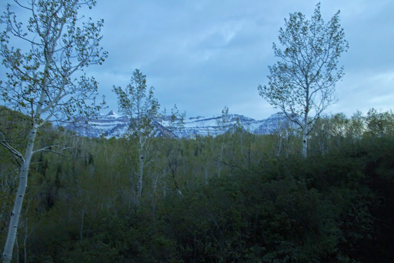
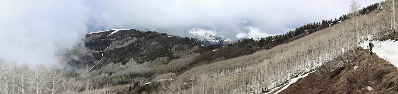
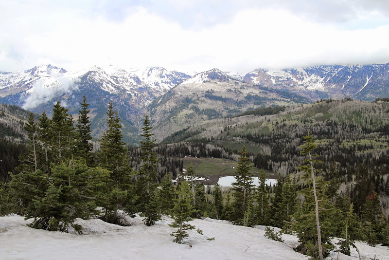
Looking back at timp, the clouds were starting to lift.


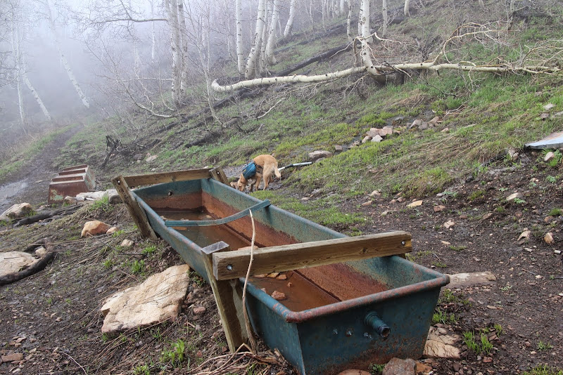
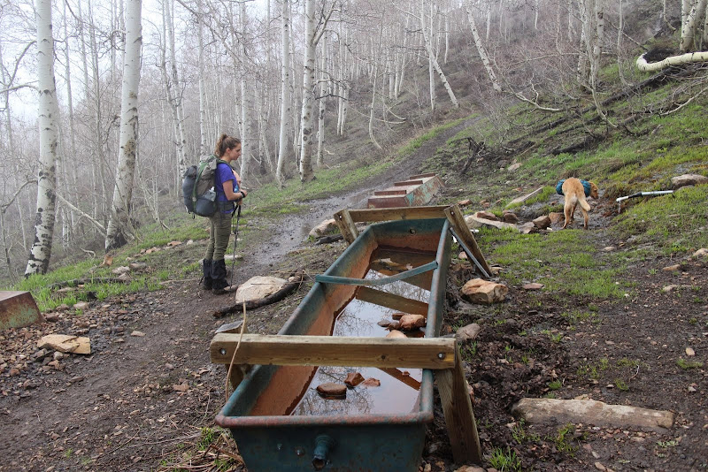
It was getting dark right as we were pulling into camp at Mill Creek Spring.
We pulled up to the spring and we were greeted with the sound of a HUGE group singing at the top of their lungs. Darn, I had hoped we'd be the only ones up here.
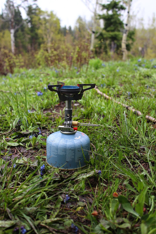
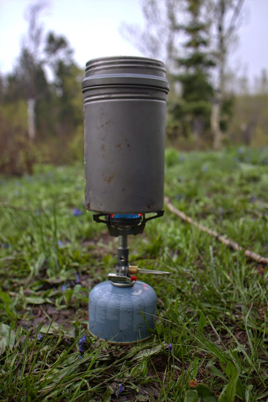
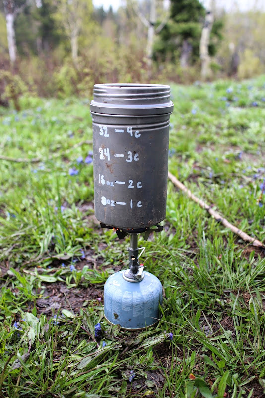
Actually, they were awesome neighbors. They were a group of teens from a performing arts school and they were really talented musicians. They had driven their trucks up the dirt road to the spring and were car-camping right at the spring. They saw our headlamps and came over and introduced themselves. Super awesome people, and they were surprised that we walked "all the way from Tibble." They invited us to their fire and dinner, and they were awesome. I think they felt bad for us and were worried that we weren't prepared. We get that a lot when people see our small packs. I busted out my new Soto Windmaster stove to use it for the first time, along with my Vargo BOT. We cooked up a quick dinner, hung our bear bag, and headed off to bed.
Since we didn't make it the week before, we wanted revenge, and we decided to make an overnighter of it.
Friday evening before we left, it started to rain. We were questioning if we still wanted to go, and with it being memorial day weekend we knew it was going to be crazy busy up the canyon. But then we realized that the rain would scare away quite a few of the fair-weather campers. If rain scared us, we'd never be able to enjoy the Uintas or the Winds. As long as trail conditions weren't sloppy, and as long as we weren't in danger of thunderstorms, we weren't going to be deterred by rain.
We packed up our packs and headed to Tibble Fork to park the car. It was lightly sprinkling, as you can see the ripples on the lake.
We hiked a short bit up the fire road and crossed the bridge to start trail 40. The Forest Service removed the yellow provisional sign they had up last week, so the trail is now open to horses, mountain bikes, and dirt bikes, in addition to hikers. The river was overflowing with runoff.
Rounding the corner and heading up the hill, the rain had completely stopped. The trail was lightly damp, but not muddy at all. It looked like one mountain biker had been up there before us that day.
Soon we found ourselves at the junction of 40 and Holman Flat. This is where the switchbacks begin. Last week the trees were asleep and didn't have many leaves. This week was the exact opposite: super green and leafy. Last week they were still asleep.
In contrast to last week, there were only one or two tiny patches of snow on the trail. The forest service had been through and cut all the fallen trees, and it was easy going. However, with all the snow patches that had melted in the past year, the ground was pretty soggy. We were conscious of whether or not we were doing trail damage. While our boots were getting muddy on the bottom, and you could see our footprints, we weren't doing any damage to the trail or leaving big impressions. So we continued on. Side note: a horse or dirt bike would destroy the trail under these conditions. Give it a week or so and it should dry out nicely.
It's amazing how many of these switchbacks there are. When you're on a dirt bike or a mountain bike, they go by quickly. On foot, it takes a while. Fortunately it's beautiful in there. We saw some squirrels and a turkey. The sun was setting and I did not want to be stuck in the switchbacks at dark, that place can be spooky. So we hustled and made our way out before it got completely dark.
Looking back at timp, the clouds were starting to lift.
It was getting dark right as we were pulling into camp at Mill Creek Spring.
We pulled up to the spring and we were greeted with the sound of a HUGE group singing at the top of their lungs. Darn, I had hoped we'd be the only ones up here.
Actually, they were awesome neighbors. They were a group of teens from a performing arts school and they were really talented musicians. They had driven their trucks up the dirt road to the spring and were car-camping right at the spring. They saw our headlamps and came over and introduced themselves. Super awesome people, and they were surprised that we walked "all the way from Tibble." They invited us to their fire and dinner, and they were awesome. I think they felt bad for us and were worried that we weren't prepared. We get that a lot when people see our small packs. I busted out my new Soto Windmaster stove to use it for the first time, along with my Vargo BOT. We cooked up a quick dinner, hung our bear bag, and headed off to bed.
Last edited:


")