
- Location
- Grand Junction, CO
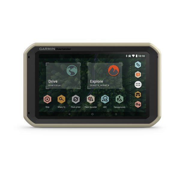
Garmin Overlander® | Navigation for Overlanding
Overlander is a rugged all-terrain navigator with features that include on/off road guidance, topographic maps, public land boundaries and more.
 buy.garmin.com
It's about time that Garmin built a dedicated GPS for the 4x4 crowd. Looks like pricing is $700, pretty high price, but it does have some great features. I do like that you can sync it to a Garmin InReach and send out Text messages when you're traveling into remote places. The magnetic, charging mount is pretty awesome, too.
"Built for every part of the journey, Overlander is a rugged, all-terrain navigator that can easily switch from turn-by-turn directions for on-road navigation to topography maps for off-grid guidance in North and South America. Overlander features integrated pitch and roll angles as well as a compass, altimeter and barometer to help you and your vehicle navigate difficult terrain. A built-in rechargeable battery means you can even take it beyond your vehicle. Create a Garmin Explore account to plan and map out your next adventure. You can easily record and create routes by tapping the screen on your Overlander navigator. Use your account to wirelessly sync — via Wi-Fi connectivity — your tracks, routes and waypoints across all your devices. "
