Hole in the Rock Trail - 3-6-13

sixstringsteve

Well-Known Member
Location
UT
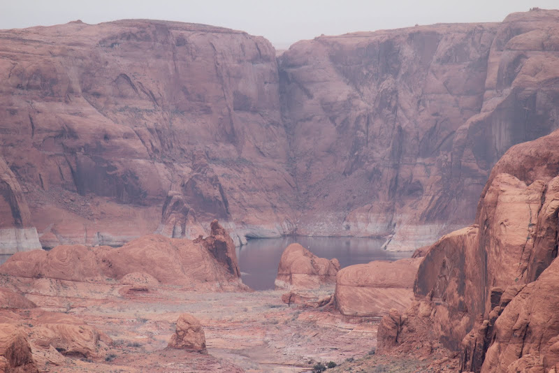
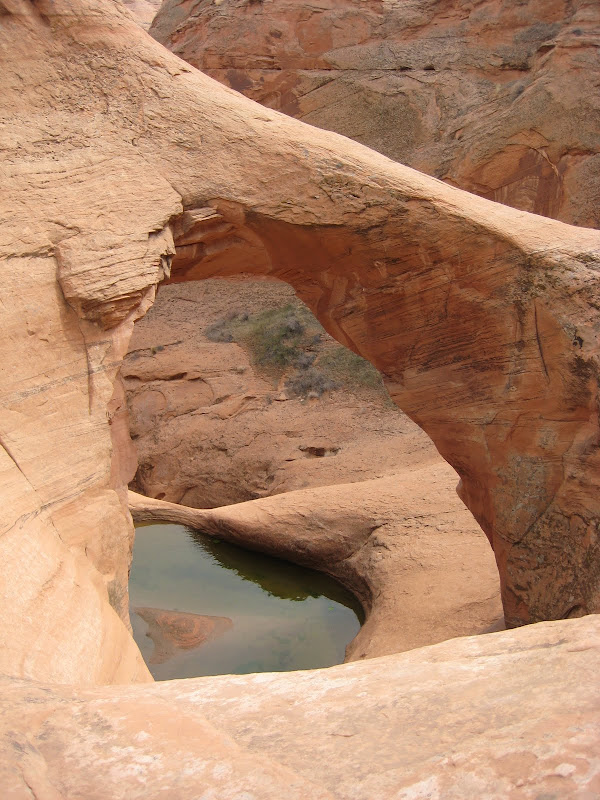
With the weather warming up, it was definitely time for a trip!

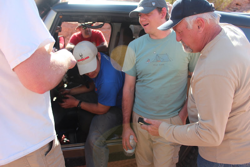
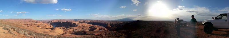
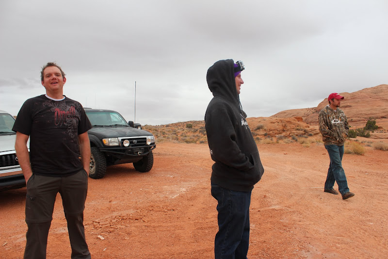
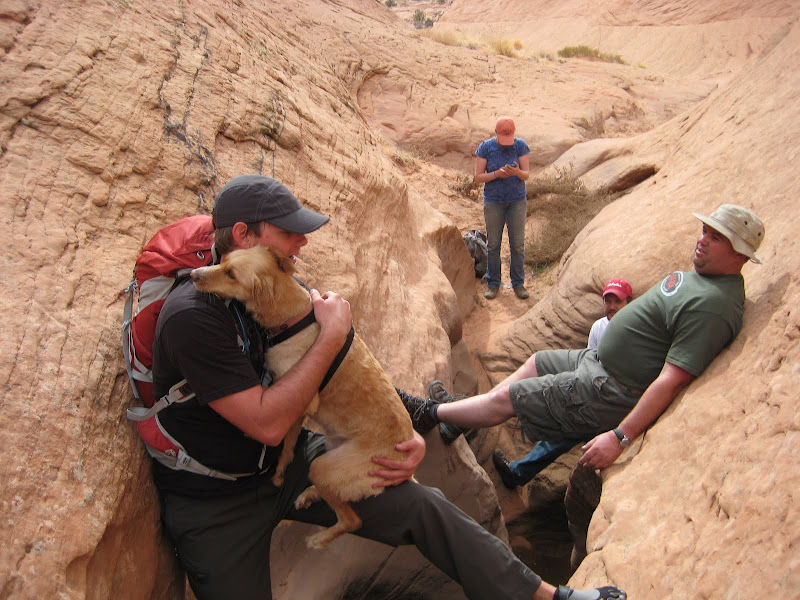
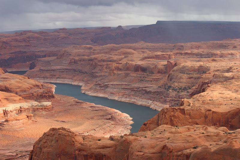
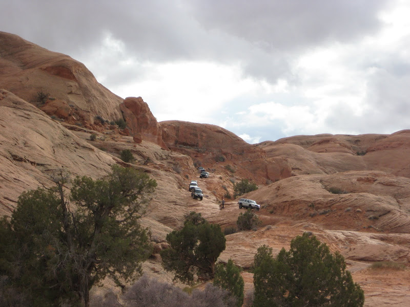
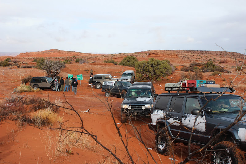
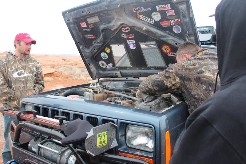
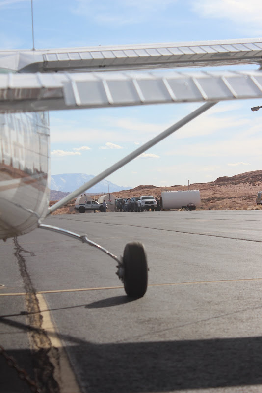
jentschman, westernhunter, spork, frieed, clfrnacwby, sixstringsteve, tacoman99, fatTony, glockman, and a couple other friends all met at the Cal Black Memorial airport to begin our journey. The weather was amazing. The kid at the fuel terminal was awesome, great guy. If you ever get a chance to stop by, say hi, he gets lonely out there. The airport is open for fuel 24/7.

IMG_2522.JPG


IMG_2511.JPG


IMG_2501.JPG


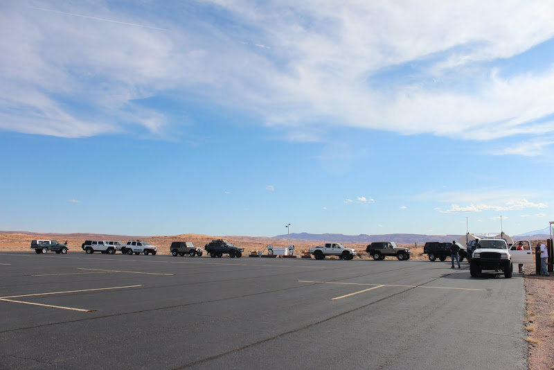
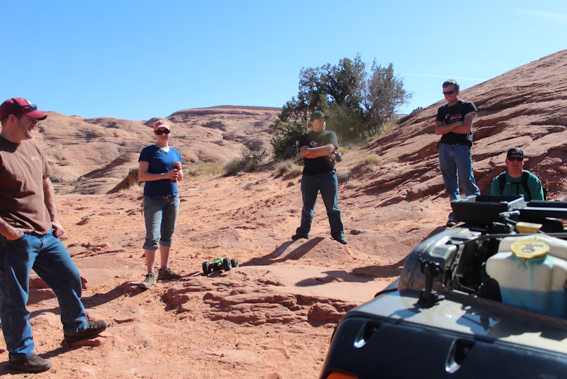
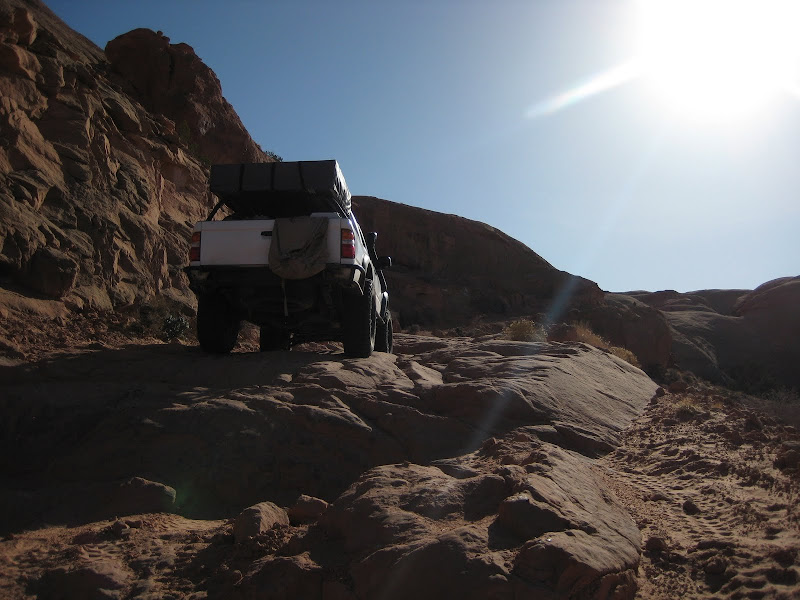
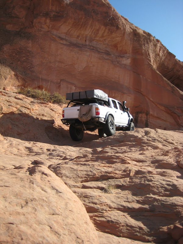
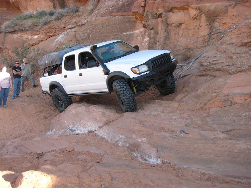
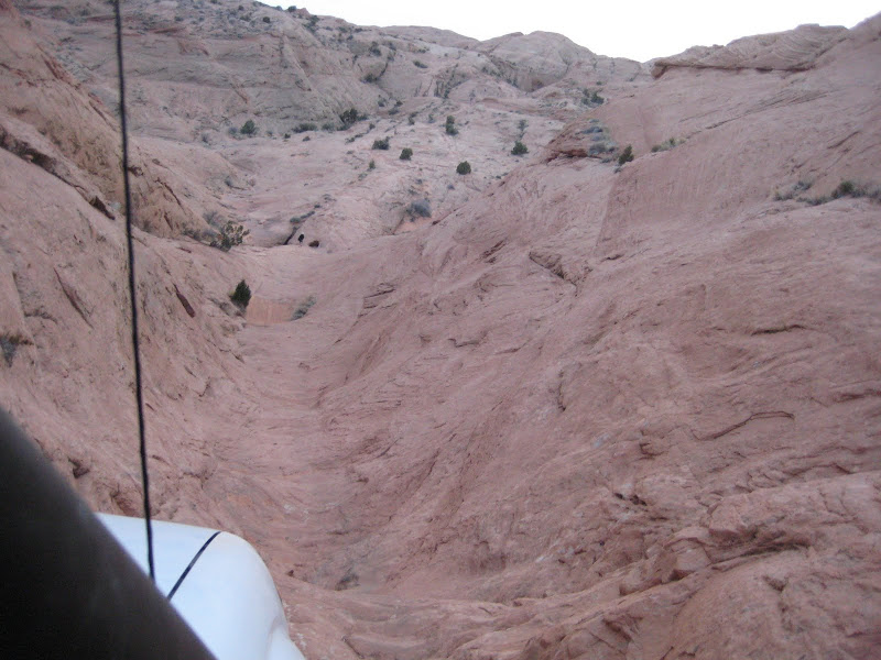
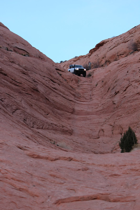
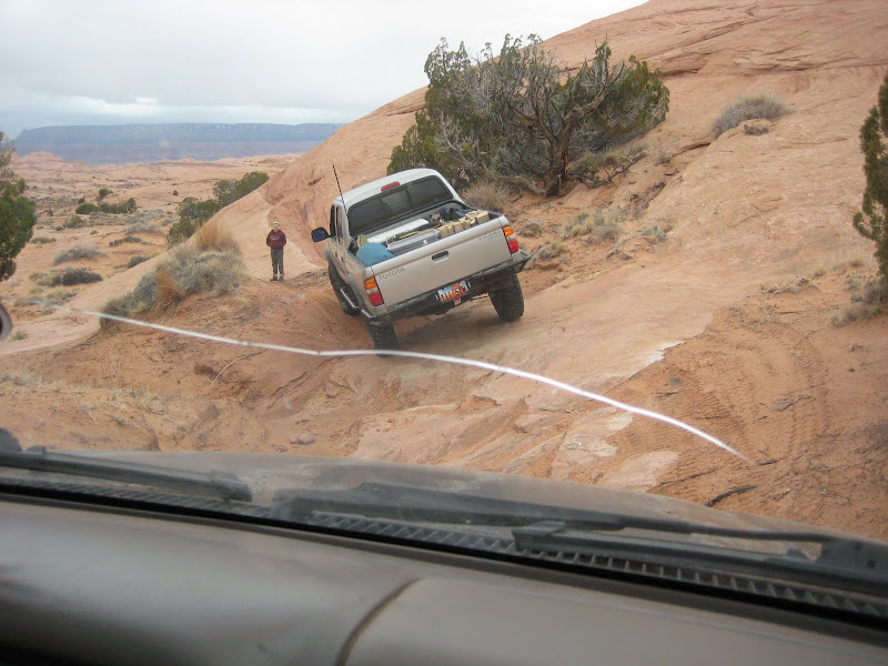
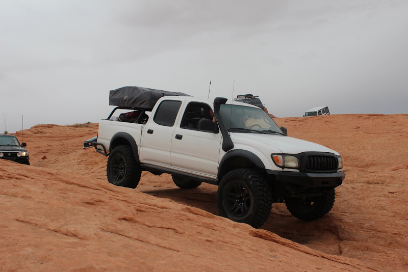
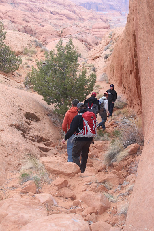
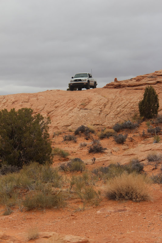
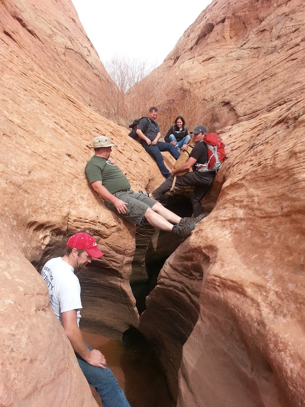
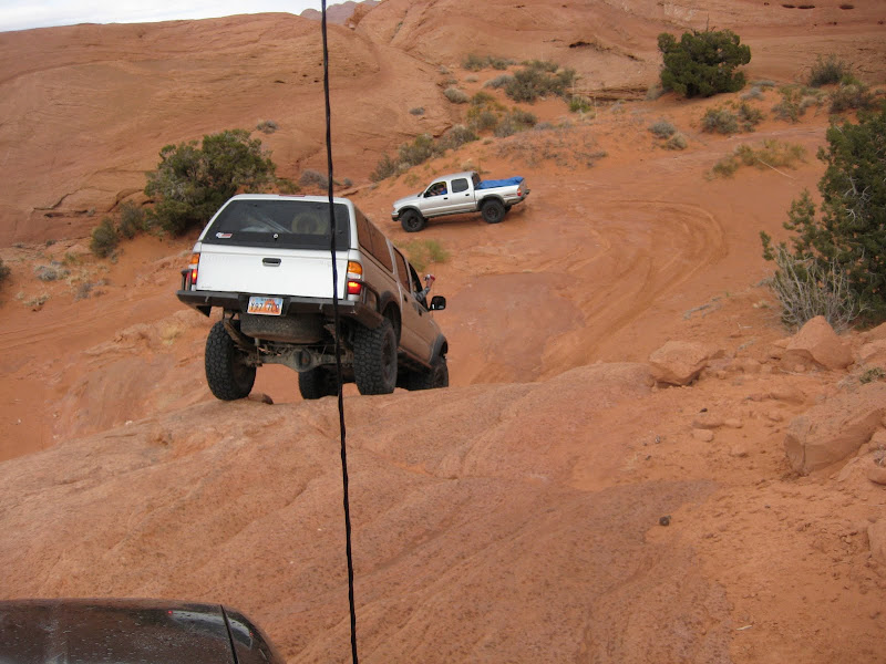
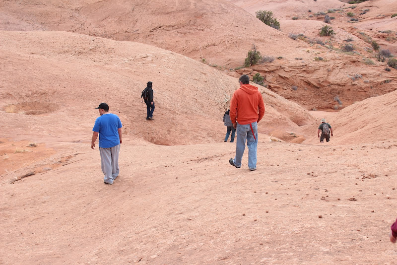
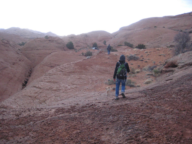
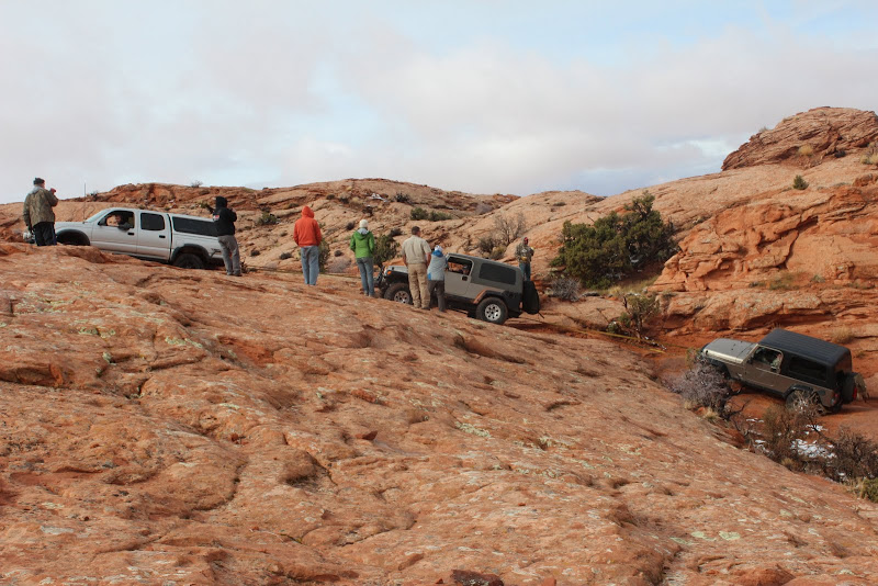
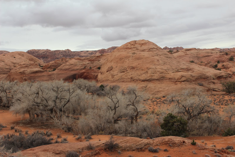
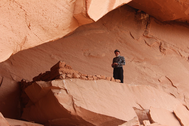
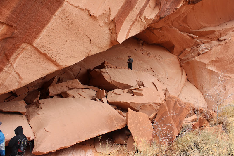
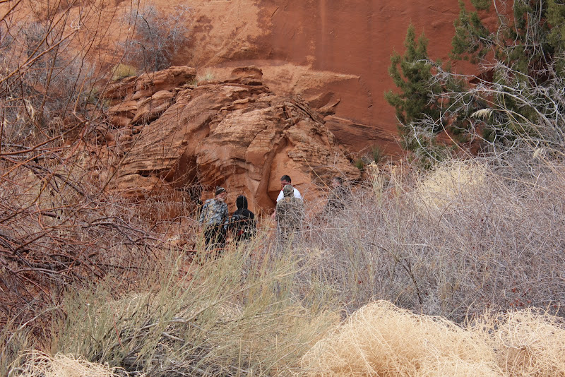
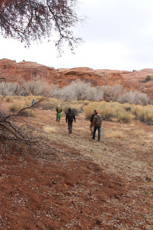
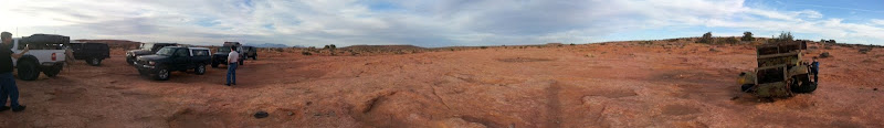
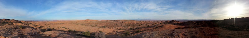
We hopped on the trail right outside the airport.

IMG_2492.JPG


IMG_2560.JPG


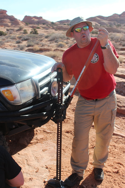
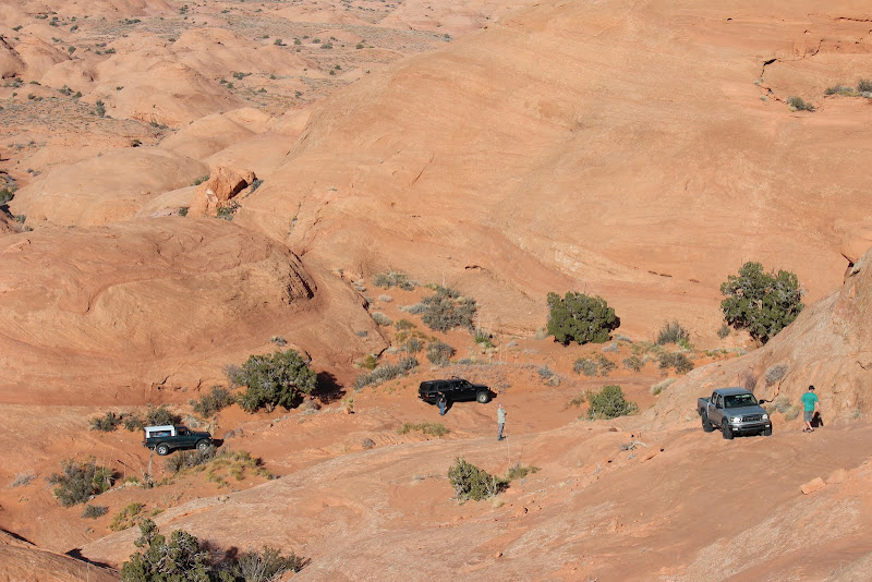
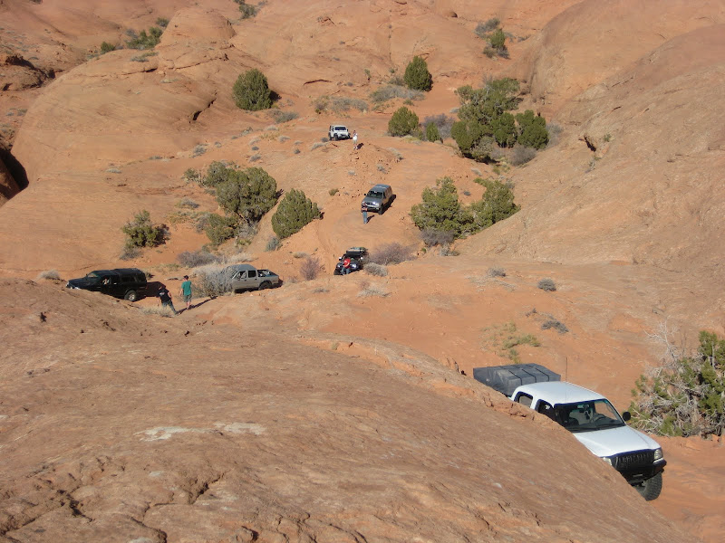
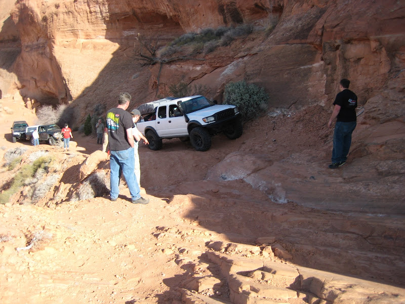
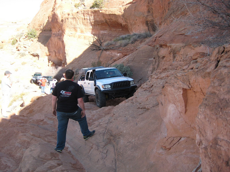
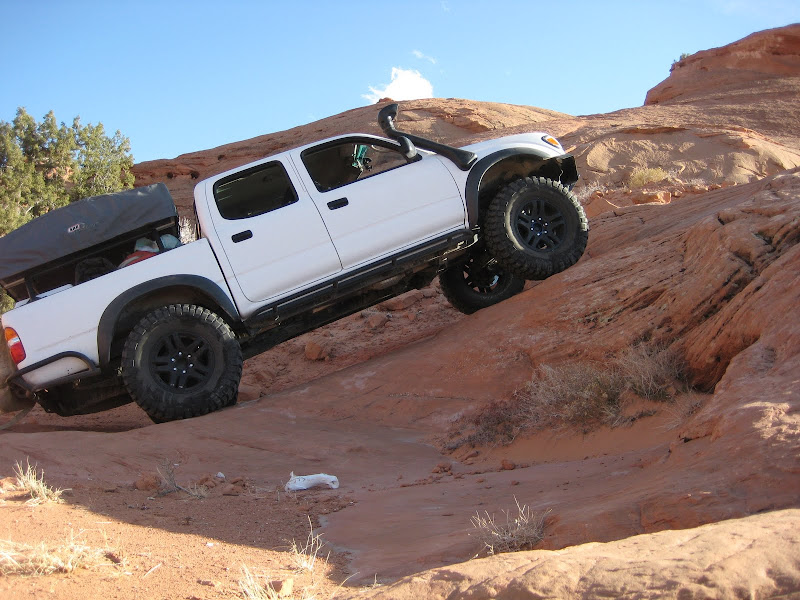
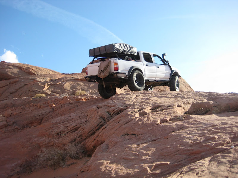
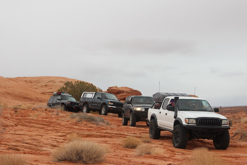
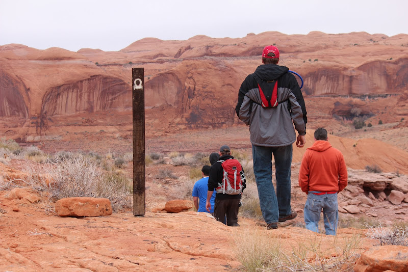
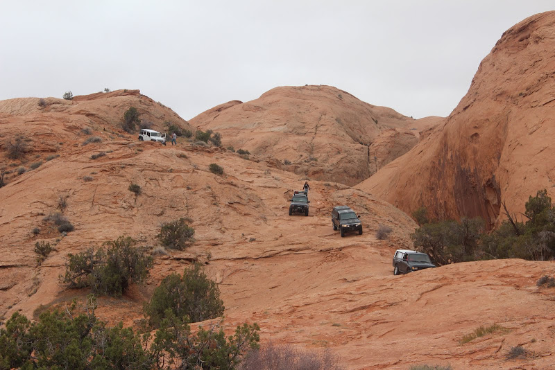
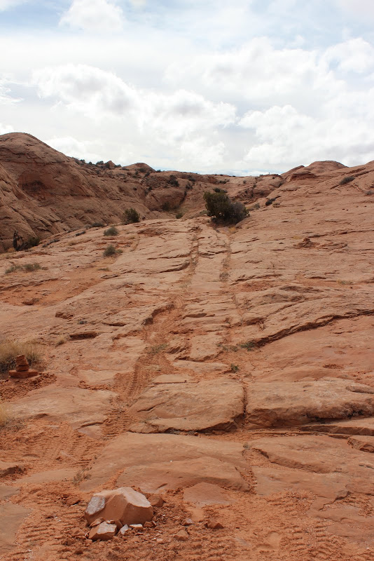
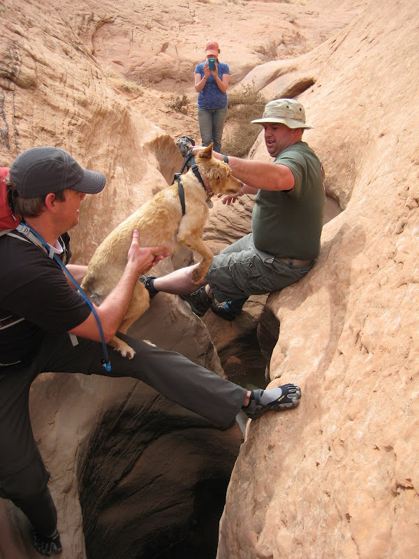
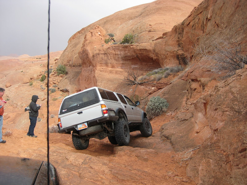
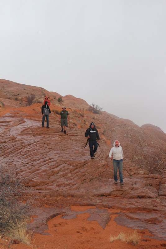
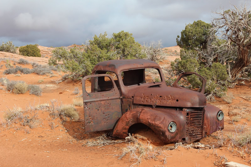
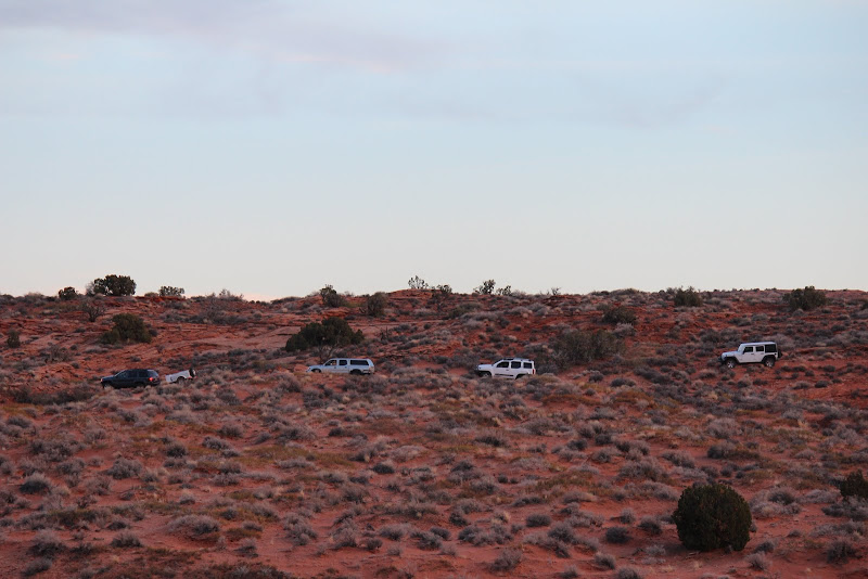
After a quick stop at the halftrack, we continued on.

20130306_172401.jpg


20130307_074335.jpg


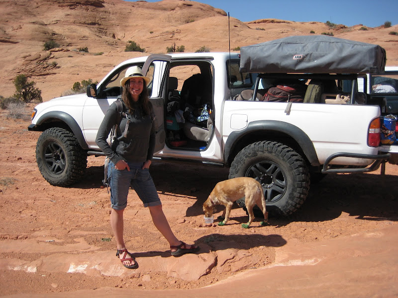
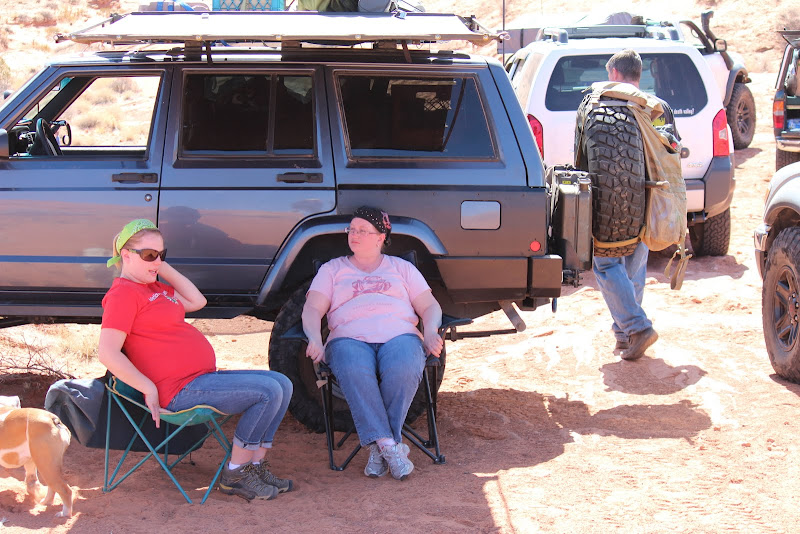
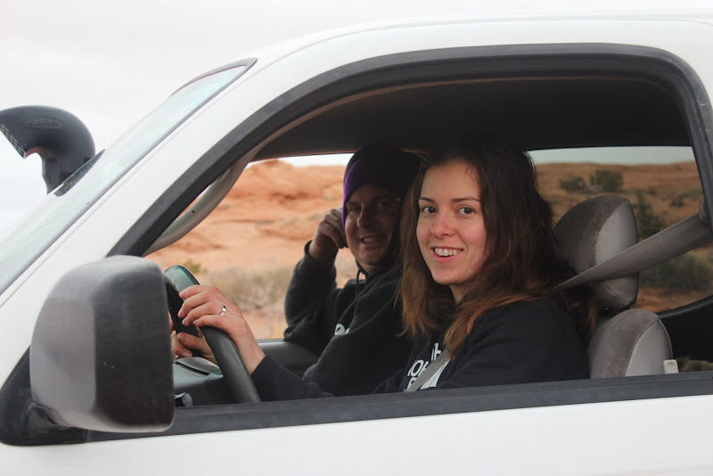
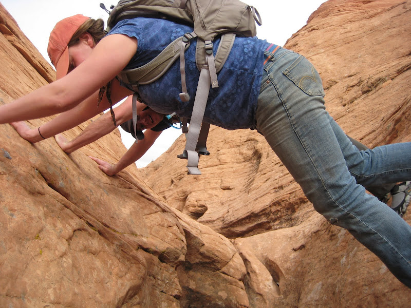
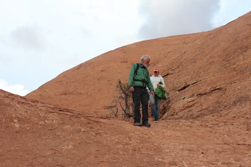
Even the pregnant women love this trip!

IMG_2587.JPG


IMG_2589.JPG


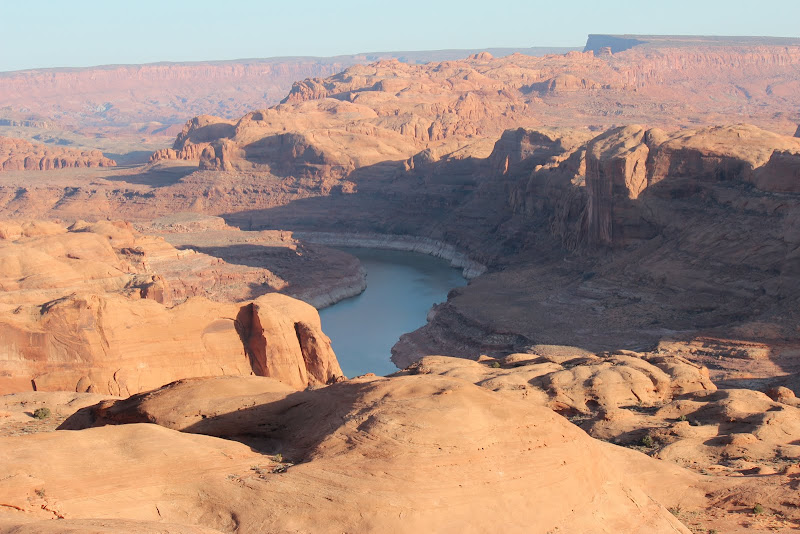
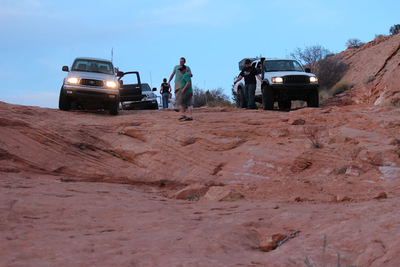
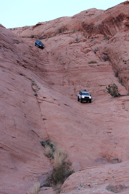
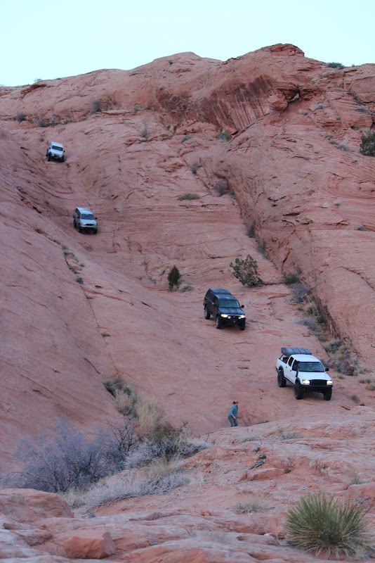
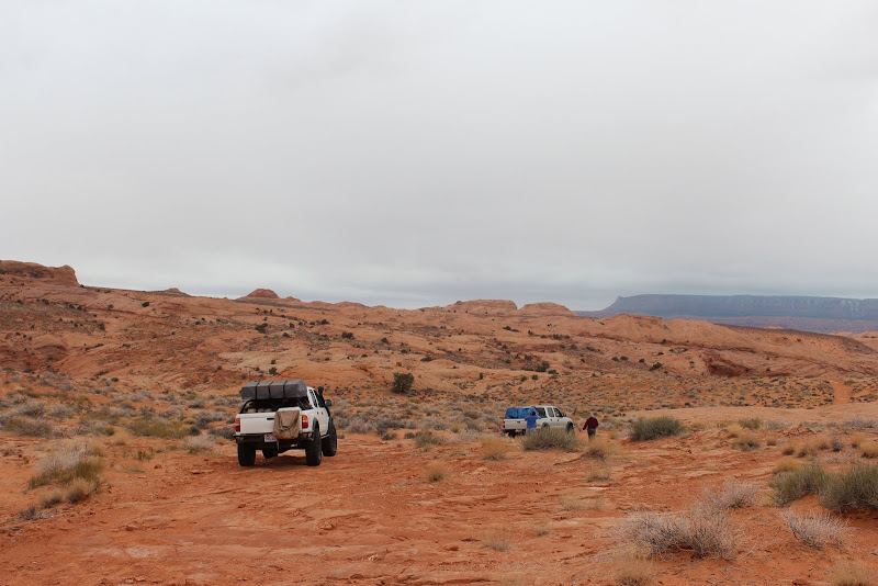
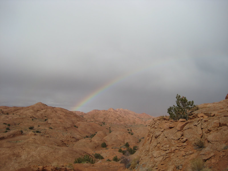
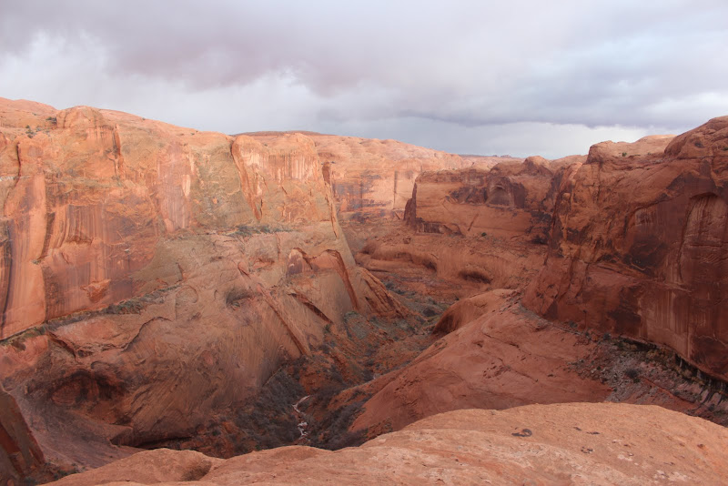
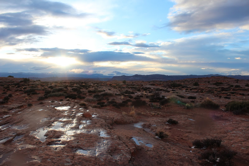
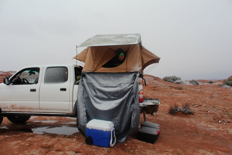
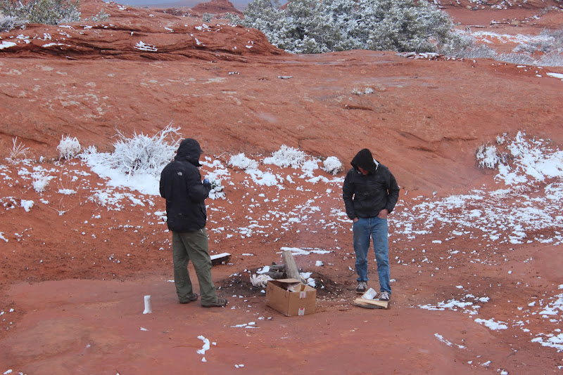
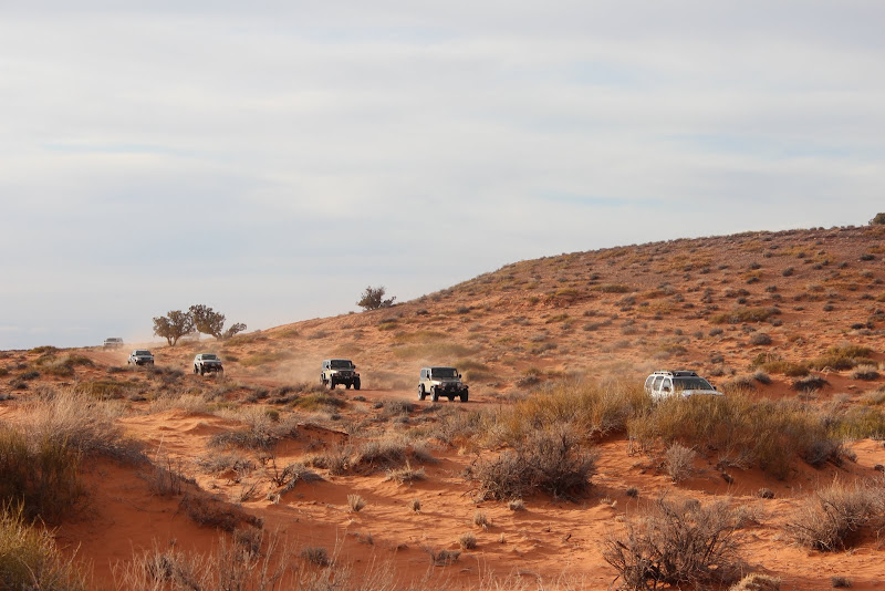
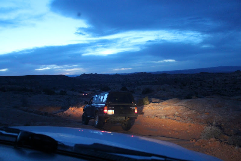
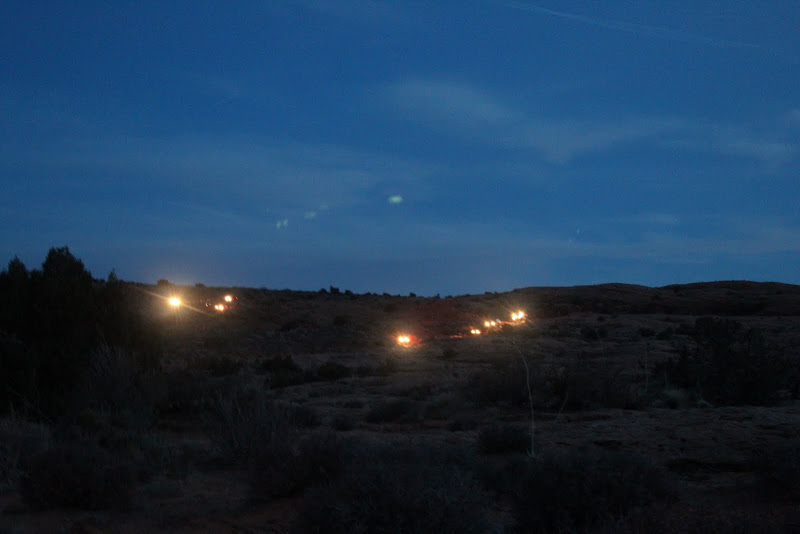
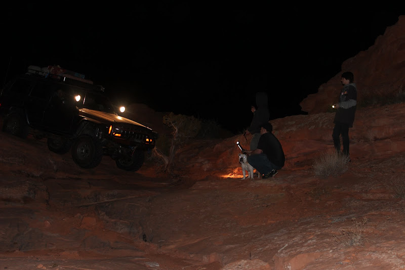
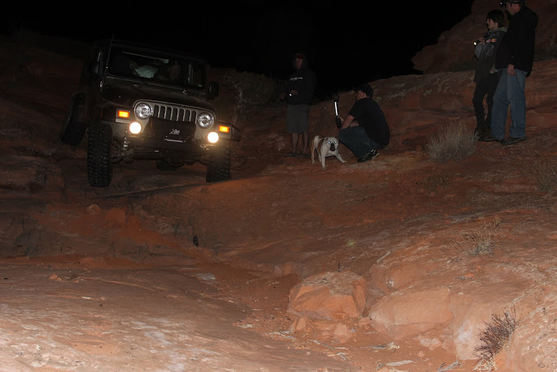
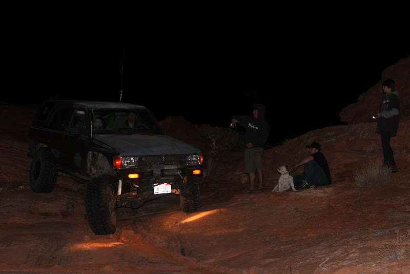
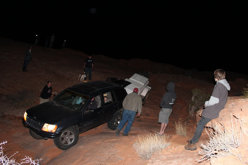
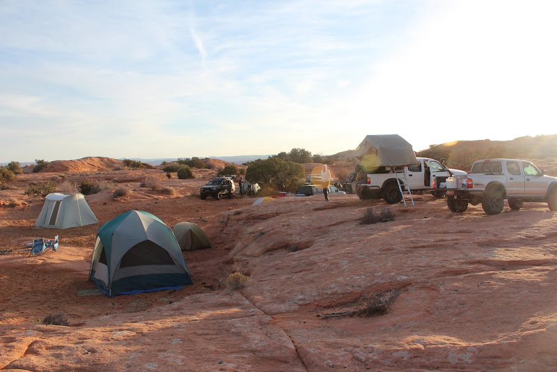
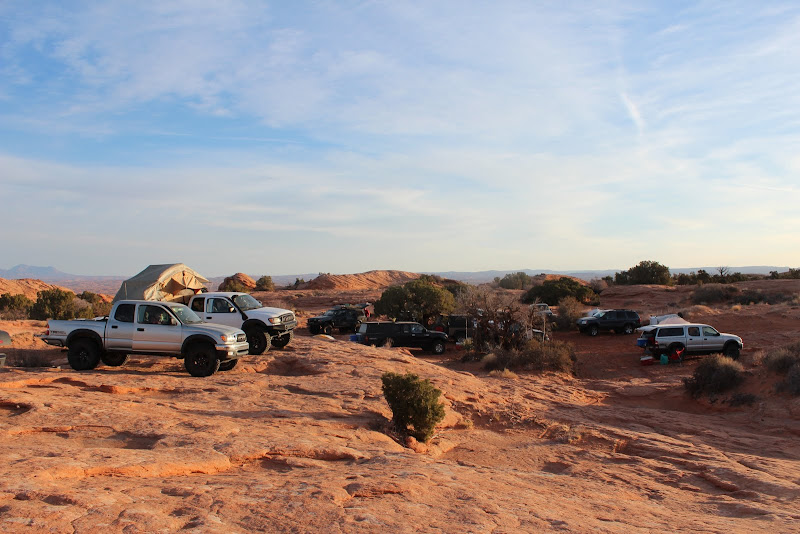
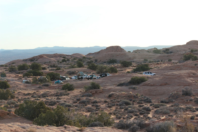
The sun was starting to set, and we were still a ways from camp...

IMG_2594.JPG


20130307_074908.jpg
 
Last edited:

sixstringsteve

Well-Known Member
Location
UT
About this time, the WJ had issues with his exhaust hanger. He got it fixed and we were on the move again.

IMG_2597.JPG


It is truly an impressive sight to see 12 rigs heading down the trail at night.

IMG_2601.JPG


This trail doesn't get driven as much as most of the moab trails, so route finding can be difficult. Despite the occassional white dash, we had to send scouts on ahead to find the trail with their flashlights. Spork had a GPS which really helped, and the cairns kept us on track as well.

IMG_2611.JPG


IMG_2607.JPG


IMG_2616.JPG


IMG_2619.JPG


Finally we made it to camp for a nice fire, some tunes, and good times.
 
Last edited:

sixstringsteve

Well-Known Member
Location
UT
It was a nice warm night, with temps in the 40's. We woke up to a beautiful day.

IMG_2622.JPG


IMG_2625.JPG


IMG_2646.JPG


We took our time getting started. We had plenty of time and we weren't in a hurry to get to the end.

Along the way, jentschman got a flat. It was the weirdest thing. He took his eyes off the road for a second, then heard a bang and found this:

IMG_2651.JPG


The resident experts examined it and determined that the tire was flat. :)

IMG_2655.JPG


John busted out the hi-lift and went to work.

IMG_2666.JPG


We were back on the trail in 5 min thanks to everyone's preparedness. Way to have a full-size spare Trevor!
 
Last edited:

sixstringsteve

Well-Known Member
Location
UT
About a quarter mile from the start of grey mesa, somebody radioed in that one of the LJ's had trouble starting.

IMG_2682.JPG


Thanks to the expertise of the group, we narrowed down that it was something to do with the ignition. The group ahead decided to take a break and have lunch.

IMG_2674.JPG


IMG_4910.JPG


IMG_2688.JPG


IMG_4920.JPG


Cody found the tallest peak to climb.

IMG_2670.JPG


It was a hot day and Molly was beat.

IMG_2692.JPG


There were a lot of Moqui Marbles to be found.

IMG_2695.JPG


Back to the LJ. We got it all hotwired and bypassed the ignition switch. It would start, then turn off after 3 seconds. We figured it was a security feature. Little did we know, that by plugging in the SKIM key reader module, it kills your jeep. For more info, see this thread: http://www.rme4x4.com/showthread.php?96138-If-you-own-a-TJ-read-this!!!&p=899859#post899859

IMG_2697.JPG


IMG_2696.JPG


There were plenty of armchair mechanics. :)

IMG_2698.JPG


Out came the Crawlers.

IMG_2703.JPG


That meant the Jeep was DOA. The LJ, clfrnacwby and the WJ stayed there and camped the night, while Glockman headed off to price to get a part to fix the jeep. Little did he know that the jeep had to be taken to a dealer for them to map a key to that jeep. So he spent the night in Price while the rest of us moved on. Bummer. Everyone had a really good attitude. Lots of people were willing to stay behind and help the jeep get going, and I didn't hear a single complaint from any of the kids. A standup group for sure.
 
Last edited:

sixstringsteve

Well-Known Member
Location
UT
The rest of us continued on towards Grey Mesa. We were going to hike out to Iceberg Canyon, but we decided against it due to time. It was looking like we may be on the trail 'till after dark again.

We headed up Grey Mesa. This is, by far, the most technical section of the trail.

IMG_2706.JPG


IMG_4921.JPG


IMG_4932.JPG


IMG_4933.JPG


There was a lot more erosion than last year, and the trail seemed quite a bit more technical. One section in particular is getting extremely dangerous. It is a steep off-camber that favors short wheelbases. If the tacomas had been another 3-4" longer, I don't know how they would have made it past. This trail needs some work done to this or it's not going to be driveable by a 4x4 much longer. The pictures don't do it justice, but to the left is a 100+ foot 45* slope that would destroy and possibly kill you.

IMG_4935.JPG


IMG_4937.JPG


IMG_4938.JPG


The pucker factor was high, and it was a nerve-wracking experience. Fortunately we had a handful of experienced spotters to get us through that spot.

Spork was still getting used to his new duals and he got pretty tippy in one place, being on only 2 wheels. Way to hang on and drive out of it! (pic needed)


IMG_4944.JPG


IMG_4946.JPG
 
Last edited:

sixstringsteve

Well-Known Member
Location
UT
After that, we hit the high-speed dirt road that overlooks the great bend.

IMG_2708.JPG


20130307_170825.jpg


Then we went through another bobble-head section, and we found ourselves at the chute at dusk (much like last year).

IMG_2730.JPG


Entering the chute. After grey mesa, this was a cinch.

IMG_4954.JPG


IMG_2732.JPG


IMG_2735.JPG


IMG_2742.JPG


IMG_2744.JPG


IMG_2746.JPG


IMG_4960.JPG


It was getting dark and the girls went ahead with the flashlights to find the trail. We soon found our new campsite about 1 mile before the end of the trail. It was a little windier and the fire was awfully smokey that night!

IMG_2756.JPG
 
Last edited:

sixstringsteve

Well-Known Member
Location
UT
The next morning we met some nice ATV guys from Alpine who were very respectful and stayed on the trail. They were a great example of treading lightly.

It started to drizzle a bit as we headed towards the end of the trail.

IMG_2759.JPG


IMG_2766.JPG


IMG_2768.JPG


IMG_2769.JPG


Pretty soon we had reached the end of the trail.

IMG_2771.JPG


IMG_2770.JPG


We went on a short hike down towards the lake.

IMG_2773.JPG


IMG_2777.JPG


IMG_2784.JPG


IMG_2794.JPG


IMG_2807.JPG


IMG_2814.JPG


We finally found Alladin's Lamp

IMG_2799.JPG


IMG_2801.JPG


along with the big overhang that DAA likes to throw rocks off.

IMG_2805.JPG


Cody and his dad went all the way to the water. Unfortunately they didn't see register rock, despite the water level being pretty low. Here you can see the hole in the rock, the crack in the middle of the picture, where the pioneers lowered their wagons down.

IMG_2824.JPG
 
Last edited:

sixstringsteve

Well-Known Member
Location
UT
The rest of the day's schedule went like this:

drive back to the chute, hike the slots there, look for the arch, and then head over to grey mesa to hike iceberg canyon, then camp back at Cowboy Camp to meet up with glockman and the rest.

IMG_2837.JPG


IMG_2839.JPG


IMG_2842.JPG


Maybe we were seeing what we wanted to see, but it sure looks like these were grooves were started by wagons back in the day.

IMG_2847.JPG


From there we hiked down to the arch (settler's arch?).

IMG_4964.JPG


IMG_4966.JPG


IMG_4972.JPG


Then we went around on the other side of the chute and hiked around in the slots there.

IMG_4975.JPG


IMG_4977.JPG


IMG_4983.JPG


20130308_140815.jpg


IMG_4985.JPG


IMG_4987.JPG
 
Last edited:

sixstringsteve

Well-Known Member
Location
UT
IMG_4989.JPG


IMG_2850.JPG


IMG_4995.JPG


IMG_4998.JPG


IMG_5001.JPG


IMG_5002.JPG


Hiking to iceberg canyon.

IMG_2860.JPG


IMG_2861.JPG


IMG_2865.JPG


IMG_2867.JPG


On the way out it started to hail.

IMG_5015.JPG


IMG_2868.JPG


IMG_2869.JPG


IMG_2874.JPG


IMG_2881.JPG


The views on this trip were absolutely breathtaking. You could fill a 250 page book with the amazing vistas.

IMG_5018.JPG


We pulled into camp just as the sun was setting, and we found glockman and his crew there. They had towed the LJ from the bottom of grey mesa back to cowboy camp. It was raining, so we piled on the firewood and tried to stay as warm as possible.
 
Last edited:

sixstringsteve

Well-Known Member
Location
UT
The next morning we awoke to a snow-covered camp.


IMG_2893.JPG


IMG_2890.JPG


IMG_2891.JPG


IMG_2892.JPG


We got a small fire going, then went on our way.

IMG_2889.JPG


IMG_2895.JPG
 
Last edited:

sixstringsteve

Well-Known Member
Location
UT
It was an exciting trip back to the airport. Glockman pulled the LJ the entire way out, with the occasional assistance from Cody.

IMG_5023.JPG


IMG_5024.JPG


IMG_2898.JPG


IMG_2906.JPG


IMG_2924.JPG


IMG_5039.JPG


From there we headed back to the airport to gas up. Glockman and his dad waited at the airport for their tow rig to arrive for the broken LJ. The rest of us headed out to check out the ruins past the airport.

They weren't anything spectacular and weren't worth visiting in my opinion.

IMG_2940.JPG


IMG_2941.JPG


IMG_2947.JPG


John had to change out a TPS real quick...

IMG_2945.JPG


... then we headed to the lower side of what I believe is Lake Canyon. This was my favorite part of the trip.

IMG_2936.JPG
 
Last edited:

sixstringsteve

Well-Known Member
Location
UT
We hiked around for quite a bit down there. I would love to go back and explore more, it is a fascinating area.

IMG_2949.JPG


We found some ruins.

IMG_2951.JPG


IMG_2952.JPG


and some petroglyphs

IMG_5047.JPG


IMG_5049.JPG


Fender kept stepping on cactus and tumbleweeds.

IMG_2955.JPG


IMG_2957.JPG


I finally found my first piece of pottery. Remember to take only photographs and leave only footprints. :) This pottery shard is still sitting there where I found it; so if you're ever in the area, see if you can find it.

IMG_2961.JPG


and another shard we found:

IMG_2971.JPG


IMG_2972.JPG


IMG_2975.JPG


IMG_2980.JPG


IMG_2982.JPG


Then we headed back out on the HITR trail to meet back up with the road back.

IMG_2984.JPG


We headed back and ate in Hanksville. The turkey avocado sandwich is excellent. And that's the end of the trip. It was the best trip of the year so far. We had a blast and got to strengthen old friendships and make new ones. It was a shame that not everyone was able to make it to the end of the trail, but they all had excellent attitudes and we look forward to more trips with them. See ya.


Video of the trip:

[video=youtube;zJxIaIIOKzw]http://www.youtube.com/watch?v=zJxIaIIOKzw&feature=youtu.be[/video]
 
Last edited:

Spork

Tin Foil Hat Equipped
Great pics Steve, I'm still pulling stuff off. I got random pics and video like...
[video=youtube_share;MRVUpETvQFc]http://youtu.be/MRVUpETvQFc[/video]
 

sixstringsteve

Well-Known Member
Location
UT
does anyone from the group have any pics or video of the sketchy spot?

I'll be getting a video put together someday, but I'm guessing it'll be 3 months out. I have 80 gb of video to go through. :eek:
 
Top